Toggle navigation
LMEC Home
Collections
My Favorites
Exhibitions
Georeferencing
Tools for Teachers
Sign Up / Log In
Search
Search the map portal
Search
Search
Search for
Search in
All Fields
Title
Subject
Place
Creator
Search All Digital Collections
Advanced Search
167 Results
Search Constraints
My Search
Start Over
More like
commonwealth:j3860809j
Remove constraint More like: commonwealth:j3860809j
Filter your Search
Show filters
Hide filters
Place
North and Central America
115
North America
69
South America
67
Mesoamerica
64
America
57
United States
44
Massachusetts
21
New England
20
more
Place
»
Topic
America--Maps--Early works to 1800
79
Western Hemisphere--Maps--Early works to 1800
58
World maps--Early works to 1800
16
New England--Maps--Early works to 1800
15
North America--Maps--Early works to 1800
12
Massachusetts--Maps
8
Connecticut--Maps--Early works to 1800
5
Massachusetts--Maps--Early works to 1800
5
more
Topic
»
Creator
Ortelius, Abraham, 1527-1598
8
Bew, John, -1793
3
Bordon, Benedetto, 1450-1530
3
Bowles, Carington, 1724-1793
3
Danckerts, Justus, 1635-1701
3
Gastaldi, Giacomo, approximately 1500-approximately 1565
3
Hondius, Jodocus, 1594 or 1595-1629
3
L'Isle, Guillaume de, 1675-1726
3
more
Creator
»
Format
Maps/Atlases
167
Books
1
Georeferenced
Yes
13
No
154
Collection
Sidney R. Knafel Map Collection at Phillips Academy
87
Norman B. Leventhal Map & Education Center Collection
67
American Revolutionary War-Era Maps
44
MacLean Collection Map Library
6
New York Public Library Collection
5
Mapping Boston Collection
3
Richard H. Brown Revolutionary War Map Collection at Mount Vernon
2
Available to use
No known restrictions
64
Creative Commons license
10
Sort
by recently added
relevance
title
date (asc)
date (desc)
recently added
Number of results to display per page
20
per page
per page
10
per page
20
per page
50
per page
100
per page
Search Results
1.
America siue India Nova ad magnae Gerardi Mercatoris aut Vniversalis imitationem in compendium redacta
2.
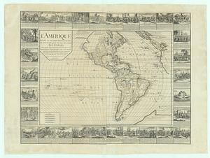
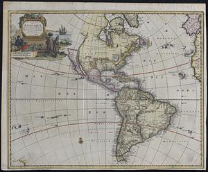
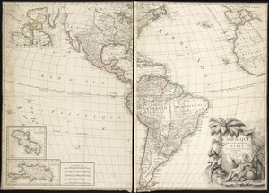
L'Amerique divisee en ses principales parties ou sont distingues les uns des autres les etats selon quils appartiennent...
3.
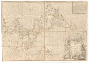
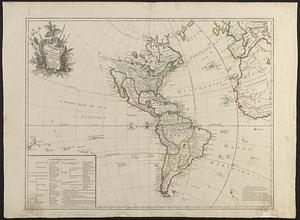
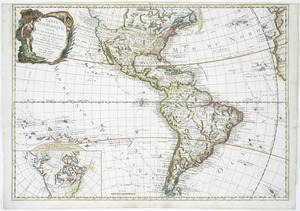
L'Amerique divisee en tous ses pays et etats dressee sur de nouveaux memoires et sur les dernieres observations
4.
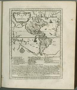
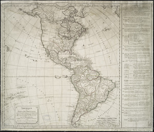
Carte von America
5.
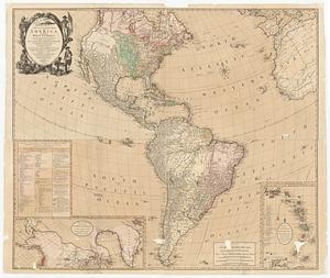
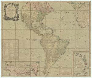
Bowles's new four-sheet map of America, and the West Indies, wherein are particularly ascertained the limits and extent of the...
6.
Bowles's new four-sheet map of America, and the West Indies, wherein are particularly ascertained the limits and extent of the...
7.
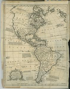
A new and accurate map of America, drawn from the most approv'd maps & charts
8.
L'Amérique suivant le R.P. Charlevoix Jte, Mr. de La Condamine et plusieurs autres nouvle. observations
9.
Nouvelle carte de l'Amerique : avec tous ses royaumes, etats, iles, ports, bayes et rivieres, dressée suivant les plus...
10.
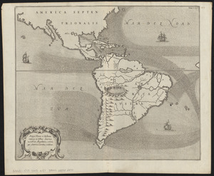
Mappa fluxus et refluxus rationes in isthmo Americano, in Freto Magellanico, cæterisque Americæ litoribus exhibens
11.
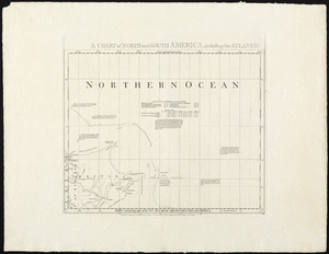
A chart of North and South America, including the Atlantic and Pacific Oceans, with the nearest coasts of Europe, Africa and Asia
12.
Tipus orbis uniuersalis iuxta Ptolomei cosmographi traditionem et Americi Vespucii alior[um]que
13.
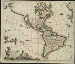
Recentissima novi orbis sive Americae septentrionalis et meridionalis tabula
14.
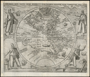
America sive novvs orbis respectv Evropaeorvm inferior globi terrestris pars
15.
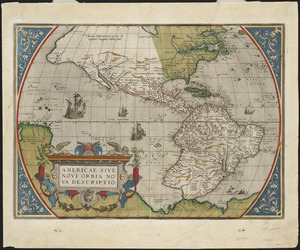
Americae siue noui orbis, noua descriptio
16.
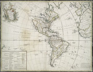
L'Amerique divisée en ses principaux États
17.
Amérique ou Indes Occidentales, avec les nouvelles découvertes du Capit'e Cook, depuis le Détroit de Behrings ou du Nord,...
18.
Carte d'Amerique : divisée en ses principaux etats avec les nouvelles decouvertes faites au Nord et dans la Mer du Sud par les...
19.
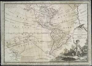
L'America secondo leultime osservazioni divisa né suoistati principali
20.
L'Amerique : suivant le R.P. Charlevoix Jte., Mr. de la Condamine, et plusieurs autres nouvle. observations
« Previous
Next »
1
2
3
4
5
…
8
9