Toggle navigation
LMEC Home
Exhibitions
Georeferencing
Tools for Teachers
Collections
My Favorites
Sign Up / Log In
Search
Search the map portal
Map Collection
Map Collection
Map Sets
Search
Search
Search for
Search In
All Fields
Creator
Title
Subject
Place
Search All Digital Collections
Advanced Search
151 Results
My Search
Start Over
More Like
commonwealth:j38608070
Remove constraint More Like: commonwealth:j38608070
Filter your Search
Place
World
64
North and Central America
46
New England
20
United States
17
Massachusetts
16
Rhode Island
8
New York
7
Connecticut
6
more
Place
»
Topic
World maps--Early works to 1800
76
New England--Maps--Early works to 1800
15
America--Maps--Early works to 1800
11
Massachusetts--Maps
8
North America--Maps--Early works to 1800
8
Western Hemisphere--Maps--Early works to 1800
8
Connecticut--Maps--Early works to 1800
5
Cook, James, 1728-1779
5
more
Topic
»
Date
Date range begin
–
Date range end
Current results range from
1482
to
1990
View distribution
Creator
Ortelius, Abraham, 1527-1598
6
Mercator, Gerhard, 1512-1594
5
Bordon, Benedetto, 1450-1530
4
Bew, John, -1793
3
Carey, Mathew, 1760-1839
3
Gastaldi, Giacomo, approximately 1500-approximately 1565
3
Hondius, Hendrik, 1597-1651
3
Hondius, Jodocus, 1594 or 1595-1629
3
more
Creator
»
Format
Maps/Atlases
151
Manuscripts
2
Books
1
Georeferenced
Yes
10
No
141
Collection
Sidney R. Knafel Map Collection at Phillips Academy
87
Norman B. Leventhal Map Center Collection
64
American Revolutionary War-Era Maps
29
Mapping Boston Collection
19
Available to use
No known restrictions
45
Creative Commons license
19
Search Constraints
Sort by date (asc)
relevance
title
date (asc)
date (desc)
Number of results to display per page
20 per page
10
per page
20
per page
50
per page
100
per page
View results as:
grid view
map view
Search Results
61.
Nova totivs terrarvm orbis geographica ac hydrographica tabvla
62.
New Englands prospect : A true, lively, and experimentall description of that part of America, commonly called New England:...
63.
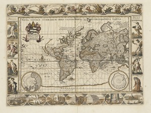
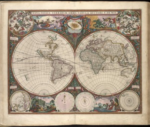
Noua totius terrarum orbis geographica ac hydrographica tabula
64.
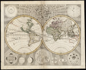
A new and accurat map of the world drawne according to ye truest descriptions latest discoveries & best observations yt have...
65.
A plat of all the world : projected according to the truest rules being far more exact than either the plain-card or the maps...
66.
Noua orbis terrarum delineatio singulari ratione accommodata meridiano tabb. Rudolphi astronomicarum
67.
Nova totius terrarum orbis tabula
68.
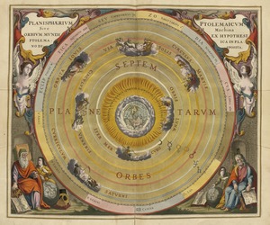
Planisphaerium Ptolemaicum siue machina orbium mundi ex hypothesi Ptolemaica in plano disposita
69.
A new and accurat map of the world : drawne according to ye truest descriptions latest discoveries & best observations yt have...
70.
L'Atlas de mer ou monde aquatique, remontrant toutes les côtes de la mer, a scavoir de la partie connuë de I'Univers, avec une...
71.
Systema ideale quo exprimitur, aquarum per canales hydragogos subterraneos ex mari et in montium hydrophylacia protrusio,...
72.
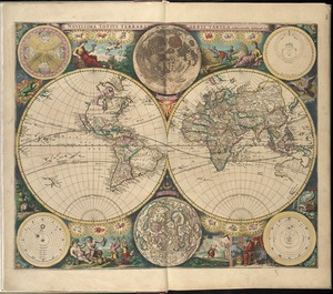
Novissima totius terrarum orbis tabula
73.
Orbis terrarum nova et accuratissima tabula
74.
Costes et rivieres de Virginie, de Mariland, et de Nouvelle Angletere
75.
Pascaert van Nieu Nederland van Hendrick Christiaens Eijland tot staten hoeck of Cabo Cod
76.
A map of New-England, being the first that ever was here cut, and done by the best pattern that could be had, which being in...
77.
New England and New York
78.
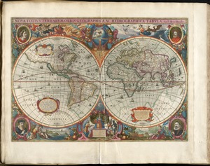
Nova totius terrarum orbis geographica ac hydrographica tabula
79.
A new mapp of the world
80.
Nouvelle Angleterre et Nouvel York
‹ Prev
Next ›
1
2
3
4
5
6
7
8


![Systema ideale quo exprimitur, aquarum per canales hydragogos subterraneos ex mari et in montium hydrophylacia protrusio, aquarumq[ue] subterrestrium per pyragogos canales concoctus](https://bpldcassets.blob.core.windows.net/derivatives/images/commonwealth:n8710p89m/image_thumbnail_300.jpg)