Toggle navigation
LMEC Home
Exhibitions
Georeferencing
Tools for Teachers
Collections
My Favorites
Sign Up / Log In
Search
Search the map portal
Map Collection
Map Collection
Map Sets
Search
Search
Search for
Search In
All Fields
Creator
Title
Subject
Place
Search All Digital Collections
Advanced Search
422 Results
My Search
Start Over
More Like
commonwealth:hx11z5773
Remove constraint More Like: commonwealth:hx11z5773
Filter your Search
Place
North and Central America
381
United States
255
Canada
104
Suffolk (county)
59
Boston
57
Essex (county)
24
Louisbourg
22
Boston Harbor
19
more
Place
»
Topic
United States--History--French and Indian War, 1754-1763--Maps, Manuscript--Early works to 1800
58
Boston (Mass.)--Maps--Early works to 1800
46
Boston Harbor (Mass.)--Maps--Early works to 1800
18
Louisbourg (N.S.)--Maps, Manuscript--Early works to 1800
18
Fort Edward (N.Y.)--Maps, Manuscript--Early works to 1800
16
Fort Ticonderoga (N.Y.)--Maps, Manuscript--Early works to 1800
15
Saint Lawrence River--Maps, Manuscript--Early works to 1800
15
Louisbourg (N.S.)--History--Siege, 1745--Maps, Manuscript--Early works to 1800
14
more
Topic
»
Date
Date range begin
–
Date range end
Current results range from
1664
to
1879
View distribution
Creator
Royal United Services Institute for Defence and Security Studies
160
George, III, King of Great Britain, 1738-1820
151
George, IV, King of Great Britain, 1762-1830
150
Amherst, Jeffery Amherst, Baron, 1717-1797
128
Skinner, Monier
28
Skinner, William, 1700-1780
28
Brasier, William
16
Bastide, John Henry, approximately 1700-1770
15
more
Creator
»
Format
Maps/Atlases
405
Manuscripts
152
Drawings/Illustrations
15
Georeferenced
Yes
14
No
408
Collection
American Revolutionary War-Era Maps
391
British Library Collection
376
Boston and New England Maps
56
Norman B. Leventhal Map Center Collection
38
Urban Maps
28
Mapping Boston Collection
7
Maritime Charts and Atlases
6
Library of Congress Collection
3
more
Collection
»
Available to use
Creative Commons license
390
No known restrictions
32
Search Constraints
Sort by relevance
relevance
title
date (asc)
date (desc)
Number of results to display per page
20 per page
10
per page
20
per page
50
per page
100
per page
View results as:
grid view
map view
Search Results
21.
A new and accurate plan of the town of Boston in New England : A new plan of Boston Harbor from an actual survey
22.
A new and correct plan of the town of Boston
23.
A new plan of ye great town of Boston in New England in America, with the many additionall buildings & new streets to the year...
24.
A new plan of ye great town of Boston in New England in America, with the many additionall [sic] buildings, & new streets, to...
25.
Particular draughts and plans of some of the principal towns and harbours belonging to the English, French, and Spaniards, in...
26.
Plan de Boston
27.
Plan de Boston
28.
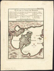
Plan de la ville de Boston
29.
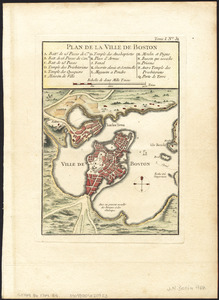
Plan de la ville de Boston
30.
Plan de la ville de Boston
31.
Plan de la ville de Boston et ses environs
32.
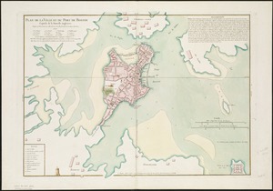
Plan de la ville et du port de Boston : capitale de la Nouvelle Angleterre
33.
Plan de la ville et du port de Boston : capitale de la Nouvelle Angleterre : erigée prémierement en 1630, et en 1735 elle fut...
34.
Plan de la ville et du port de Boston : capitale de la Nouvelle Angleterre
35.
Plan de la ville et du port de Boston : capitale de la Nouvelle Angleterre
36.
A plan of Boston, from actual survey
37.
A plan of Boston, from actual survey
38.
A Plan of the Battle of Bunker Hill
39.
A plan of the town and chart of the harbour of Boston exhibiting a view of the islands, castle forts, and entrances into the...
40.
The seat of war, in New England, by an American volunteer : with the marches of the several corps sent by the colonies, towards...
‹ Prev
Next ›
1
2
3
4
5
6
…
21
22


![A new plan of ye great town of Boston in New England in America, with the many additionall [sic] buildings, & new streets, to the year, 1769](https://bpldcassets.blob.core.windows.net/derivatives/images/commonwealth:3f462v50z/image_thumbnail_300.jpg)