Toggle navigation
LMEC Home
Exhibitions
Georeferencing
Tools for Teachers
Collections
My Favorites
Sign Up / Log In
Search
Search the map portal
Map Collection
Map Collection
Map Sets
Search
Search
Search for
Search In
All Fields
Creator
Title
Subject
Place
Search All Digital Collections
Advanced Search
8163 Results
My Search
Start Over
More Like
commonwealth:ht250601k
Remove constraint More Like: commonwealth:ht250601k
Filter your Search
Place
North and Central America
4,912
United States
3,602
Suffolk (county)
1,026
Boston
999
Europe
964
Canada
427
France
269
Massachusetts
249
more
Place
»
Topic
Boston (Mass.)--Maps
574
United States--Maps
270
Real property--Massachusetts--Boston--Maps
174
Massachusetts--Maps
160
Landowners--Massachusetts--Boston--Maps
132
North America--Maps--Early works to 1800
103
New England--Maps
99
Europe--Maps
78
more
Topic
»
Date
Date range begin
–
Date range end
Current results range from
1482
to
2023
View distribution
Creator
United States. Hydrographic Office
357
O.H. Bailey & Co
148
Des Barres, Joseph F. W. (Joseph Frederick Wallet), 1722-1824
123
United States. Post Office Dept
120
Ptolemy, 2nd cent
100
Walling, Henry Francis, 1825-1888
94
Jefferys, Thomas, -1771
84
Geological Survey (U.S.)
82
more
Creator
»
Format
Maps/Atlases
8,104
Manuscripts
215
Prints
51
Books
36
Objects/Artifacts
10
Drawings/Illustrations
8
Posters
4
Georeferenced
Yes
868
No
7,295
Collection
Norman B. Leventhal Map Center Collection
8,163
Boston and New England Maps
2,184
Urban Maps
1,925
Maritime Charts and Atlases
750
American Revolutionary War-Era Maps
616
Boston Redevelopment Authority Collection
86
Available to use
No known restrictions
8,022
Creative Commons license
46
Search Constraints
Sort by relevance
relevance
title
date (asc)
date (desc)
Number of results to display per page
20 per page
10
per page
20
per page
50
per page
100
per page
View results as:
grid view
map view
Search Results
1.
Ground plan of where the greatest decision in history is being made secure
2.
Western Front (British & German attacks)
3.
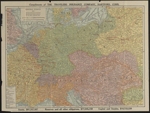
Central Europe, 1914 : showing important fortresses and strategic points affected by the great European war
4.
Daily mail war map
5.
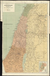
The Daily telegraph war map no. 23
6.
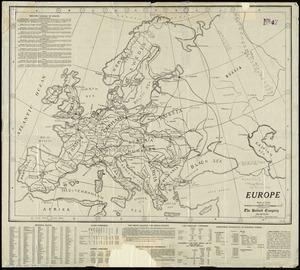
Europe
7.
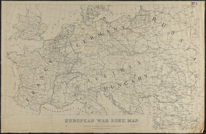
European war zone map
8.
Hark! Hark! The dogs do bark! : with note by Walter Emanuel = Horch! Horch! Die hunde bellen! : mit einer begleitschrift von...
9.
The Literary Digest liberty map of the Western Front of the Great World War showing the battle line of liberty as it stood...
10.
Bacon's large scale seat of war - Metz to the Rhine
11.
Bacon's large scale war map : Paris to the Rhine
12.
Bacon's map of the seat of war from Paris to the Rhine
13.
Black's general map of the seat of war
14.
Black's special war map
15.
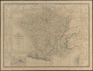
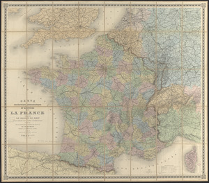
Carte de France indiquant les chemins de fer et les routes, avec les distances en kilomètres
16.
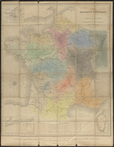
Carte des monuments historiques de la France, dressée d'après la liste établie par la Commission des monuments historiques
17.
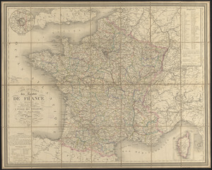
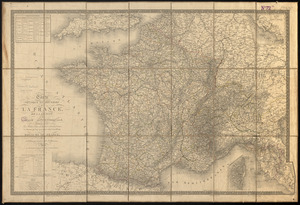
Carte générale des routes de France : divisées en routes de poste, routes royales, départementales, stratégiques, chemins...
18.
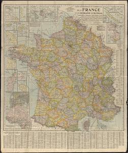
Carte geographique et commerciale de la France et de son domaine colonial : indiquant les départements, routes principales,...
19.
Carte orographique hydrographique et routière de la France : comprenant le bassin du rhin et la région des Alpes occidentales...
20.
Carte physique et routière de la France, de la Suisse, et de l'Italie septentrionale, indiquant aussi les relais, leurs...
‹ Prev
Next ›
1
2
3
4
5
…
408
409