Toggle navigation
LMEC Home
Exhibitions
Georeferencing
Tools for Teachers
Collections
My Favorites
Sign Up / Log In
Search
Search the map portal
Map Collection
Map Collection
Map Sets
Search
Search
Search for
Search In
All Fields
Creator
Title
Subject
Place
Search All Digital Collections
Advanced Search
8921 Results
My Search
Start Over
More Like
commonwealth:ht24zx035
Remove constraint More Like: commonwealth:ht24zx035
Filter your Search
Place
North and Central America
6,152
United States
5,068
Massachusetts
2,145
Europe
1,396
Suffolk (county)
1,267
Boston
1,240
Canada
449
Asia
438
more
Place
»
Topic
Boston (Mass.)--Maps
753
United States--Maps
282
Real property--Massachusetts--Boston--Maps
254
City planning--Massachusetts--Boston--Maps
187
Landowners--Massachusetts--Boston--Maps
170
Massachusetts--Maps
166
New England--Maps
104
North America--Maps--Early works to 1800
103
more
Topic
»
Date
Date range begin
–
Date range end
Current results range from
1482
to
2023
View distribution
Creator
United States. Hydrographic Office
595
Boston Redevelopment Authority
192
O.H. Bailey & Co
148
Des Barres, Joseph F. W. (Joseph Frederick Wallet), 1722-1824
124
United States. Post Office Dept
120
Ptolemy, 2nd cent
100
Walling, Henry Francis, 1825-1888
94
Geological Survey (U.S.)
87
more
Creator
»
Format
Maps/Atlases
8,861
Manuscripts
215
Prints
56
Books
36
Objects/Artifacts
10
Drawings/Illustrations
8
Posters
5
Georeferenced
Yes
885
No
8,036
Collection
Norman B. Leventhal Map & Education Center Collection
8,725
Boston and New England Maps
2,391
Urban Maps
2,175
Maritime Charts and Atlases
1,083
American Revolutionary War-Era Maps
638
Boston Redevelopment Authority Collection
223
Massachusetts Real Estate Atlases
38
Mapping Boston Collection
20
more
Collection
»
Available to use
No known restrictions
8,698
Creative Commons license
70
Search Constraints
Sort by relevance
relevance
title
date (asc)
date (desc)
Number of results to display per page
20 per page
10
per page
20
per page
50
per page
100
per page
View results as:
grid view
map view
Search Results
2961.
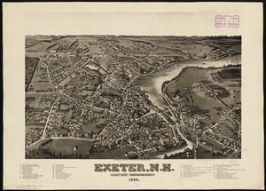
Exeter, N.H : county seat of Rockingham County, 1884
2962.
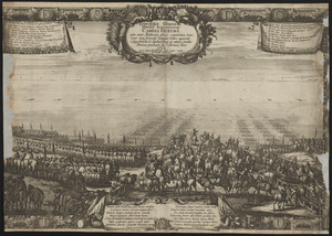
Expeditio gloriosa potentismi: regis Suecorum Caroli Gustavi qua Mare Balticum glacie constrictum transiens cum exercitu...
2963.
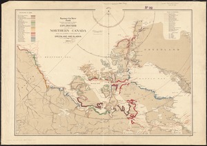
Explorations in northern Canada and adjacent portions of Greenland and Alaska, 1904
2964.
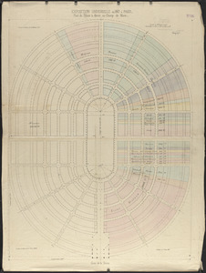
Exposition universelle de 1867 a Paris : plan du palais à élever, au Champ de Mars
2965.
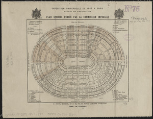
Exposition universelle de 1867 a Paris, palais de l'exposition : plan officiel publié par la Commission Impériale
2966.
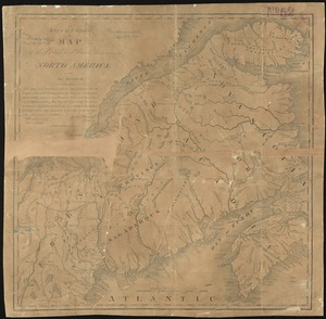
Extract from a map of the British and French dominions in North America
2967.
Extract from the plan of the coast survey of Boston Harbor, 1847
2968.
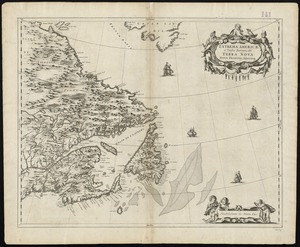
Extrema Americae versus Boream, ubi Terra Nova, Nova Francia, adjacentiaque
2969.
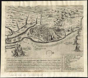
Eygentlicher abris und gelegenheit der vornemen hauptstadt des Königreichs Brasilien Phernambuco auch Olinda genandt inn...
2970.
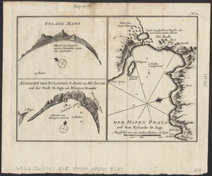
Eyland Mayo ; Aussicht des eylandes S. Jago od. St Jacob und der stadt St Jago od. Ribeyro Grande ; Der hafen Praya auf dem...
2971.
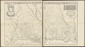
Fac simile of Holmes' map of the Province of Pennsylvania : with the names of the original purchasers from William Penn, begun...
2972.
Facsimile di una carta idrografica di Andrea Bianco del 1436 esistente nella Marciana
2973.
The facts of prohibition in the United States
2974.
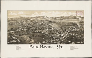
Fair Haven, Vt
2975.
Fairbanks Street, Brighton
2976.
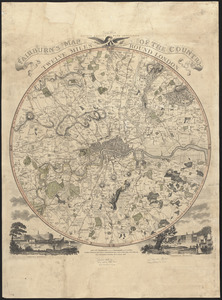
Fairburn's map of the country twelve miles round London
2977.
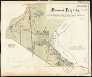
Fairmount Park 1869 : map showing the improvements on the west-side of the river from Girard Avenue to George's Hill and...
2978.
Fairmount Park, Philadelphia, 1868 : with limits, as prescribed in Act of Assembly, approved March 26th, 1868 : showing the...
2979.
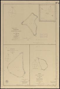
Fakaafo or Bowditch Island ; Nuku-Nono or Duke of Clarence Island ; Oatáfu or Duke of York Island
2980.
Fakaafo or Bowditch Island ; Nuku-Nono or Duke of Clarence Island ; Oatáfu or Duke of York Island
‹ Prev
Next ›
1
2
…
145
146
147
148
149
150
151
152
153
…
446
447