Search Constraints
Search Results


313. MBTA map : 1977-1978


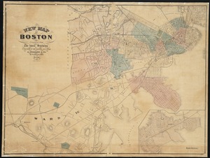
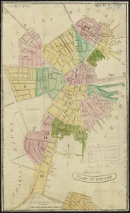
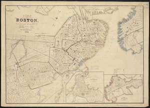
343. New map of Boston


371. Open space 2017


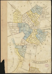
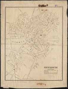
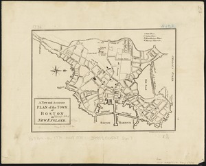
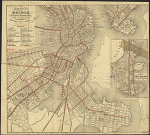
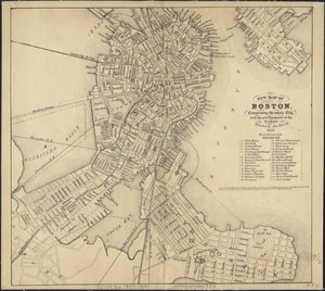
384. Plan of Boston
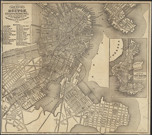
385. Plan of Boston
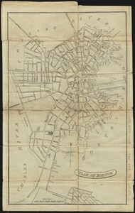
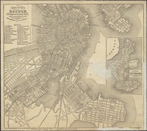
386. Plan of Boston
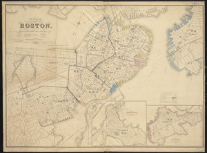
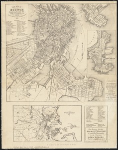
387. Plan of Boston
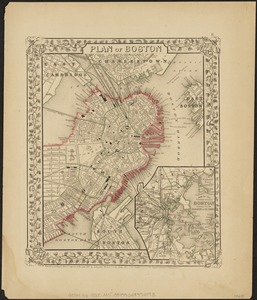
388. Plan of Boston
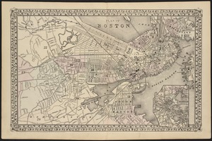
389. Plan of Boston
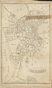
390. Plan of Boston
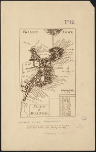
391. Plan of Boston
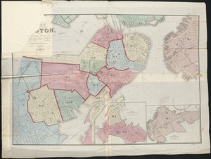
392. Plan of Boston
393. Plan of Boston
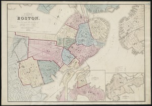
394. Plan of Boston
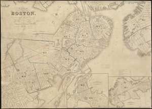
395. Plan of Boston
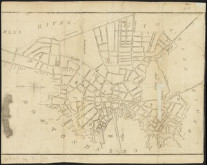
396. Plan of Boston

397. Plan of Boston