Toggle navigation
LMEC Home
Collections
My Favorites
Exhibitions
Georeferencing
Tools for Teachers
Sign Up / Log In
Search
Search the map portal
Search
Search
Search for
Search in
All Fields
Title
Subject
Place
Creator
Search All Digital Collections
Advanced Search
1152 Results
Search Constraints
My Search
Start Over
More like
commonwealth:fj238k045
Remove constraint More like: commonwealth:fj238k045
Filter your Search
Show filters
Hide filters
Place
North and Central America
1,148
United States
1,148
Massachusetts
1,147
Suffolk (county)
1,126
Boston
1,125
Roxbury
63
South End
57
Charlestown
42
more
Place
»
Topic
Boston (Mass.)--Maps
768
City planning--Massachusetts--Boston--Maps
420
Urban renewal--Massachusetts--Boston--Maps
253
Real property--Massachusetts--Boston--Maps
166
Buildings--Massachusetts--Boston--Maps
125
Landowners--Massachusetts--Boston--Maps
107
Land use--Massachusetts--Boston--Maps
102
Roxbury (Boston, Mass.)--Maps
62
more
Topic
»
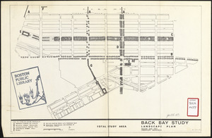
Creator
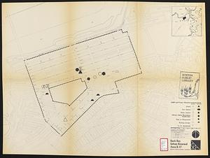
Boston Redevelopment Authority
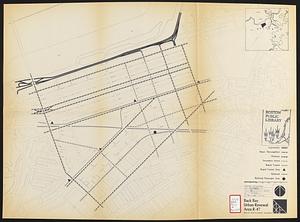
391
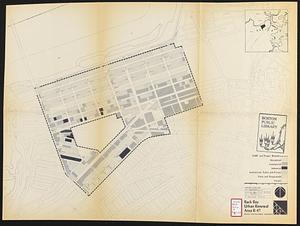
Bromley, George Washington
36
Bromley, Walter Scott
35
G.W. Bromley & Co.
30
Geo. H. Walker & Co
27
Boynton, George W., d. 1884
21
Sampson, Davenport & Co
21
Sampson, Murdock & Co
20
more
Creator
»
Format
Maps/Atlases
1,151
Manuscripts
9
Drawings/Illustrations
3
Prints
1
Georeferenced
Yes
211
No
941
Collection
Boston and New England Maps
941
Urban Maps
833
Norman B. Leventhal Map & Education Center Collection
700
Boston Redevelopment Authority Collection
453
Massachusetts Real Estate Atlases
38
American Revolutionary War-Era Maps
31
Mapping Boston Collection
20
William L. Clements Library Collection
10
more
Collection
»
Available to use
No known restrictions
1,051
Creative Commons license
38
Sort
by title
relevance
title
date (asc)
date (desc)
recently added
Number of results to display per page
100
per page
per page
10
per page
20
per page
50
per page
100
per page
Search Results
1.
1930 Socony road map of New England
2.
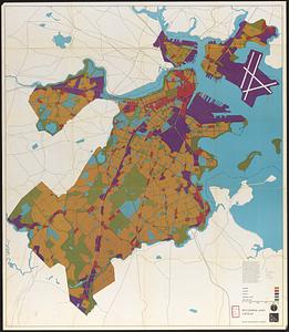
1975 general land use plan
3.
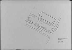
660 Wakulah St., Roxbury
4.
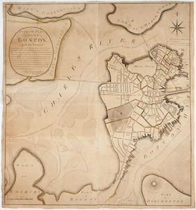
An accurate plan of the town of Boston and its vicinity : exhibiting a ground plan of all the streets, lanes, alleys, wharves,...
5.
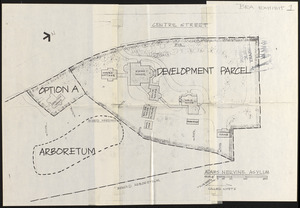
Adams Nervine Asylum
6.
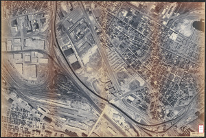
Aerial photo of Charlestown, Massachusetts
7.
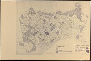
Allston-Brighton open space plan site inventory
8.
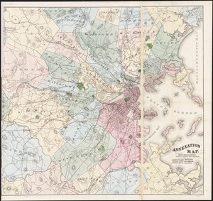
Annexation map
9.
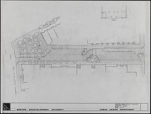
Appleton St. Woonerf
10.
Architectural styles, Chinatown historic core, historic edge
11.
Asia, South China Sea, Mui Da Nang to Shenquan Gang including Hainan Dao and Parcel Islands
12.
Atlas of Boston neighborhoods based on the Direct Tax Census of 1798
13.
Atlas of Dorchester, West Roxbury, and Brighton, City of Boston
14.
Atlas of Massachusetts
15.
Atlas of Massachusetts
16.
Atlas of the city of Boston : vol. 5, West Roxbury
17.
Atlas of the city of Boston : Dorchester, Massachusetts, vol. 5
18.
Atlas of the city of Boston : Boston proper and Roxbury
19.
Atlas of the city of Boston : volume 7, Brighton
20.
Atlas of the city of Boston : Dorchester, Mass., vol. 5
21.
Atlas of the city of Boston : Boston proper
22.
Atlas of the city of Boston : South Boston
23.
Atlas of the city of Boston : Roxbury
24.
Atlas of the city of Boston : East Boston
25.
Atlas of the city of Boston : vol. 5, Dorchester, Mass.
26.
Atlas of the city of Boston : volume 6, West Roxbury
27.
Atlas of the city of Boston : Boston proper and Back Bay
28.
Atlas of the city of Boston : ward 25 Brighton
29.
Atlas of the city of Boston : South Boston
30.
Atlas of the city of Boston : Dorchester
31.
Atlas of the city of Boston : ward 26 Hyde Park
32.
Atlas of the city of Boston : Boston proper and Back Bay
33.
Atlas of the city of Boston : West Roxbury
34.
Atlas of the city of Boston : Roxbury
35.
Atlas of the city of Boston : wards 25 and 26, Brighton
36.
Atlas of the city of Boston : Boston proper and Back Bay
37.
Atlas of the city of Boston : Dorchester
38.
Atlas of the city of Boston : West Roxbury
39.
Atlas of the city of Boston : Boston proper and Back Bay
40.
Atlas of the city of Boston : Dorchester
41.
Atlas of the city of Boston : Boston proper and Back Bay
42.
Atlas of the city of Boston : Boston proper : from actual surveys and official plans
43.
Atlas of the city of Boston : Boston proper and Back Bay : from actual surveys and official plans
44.
Atlas of the city of Boston : Boston proper and Back Bay : from actual surveys and official plans
45.
Atlas of the city of Boston : Boston proper and Back Bay : from actual surveys and official plans
46.
Atlas of the city of Boston : Boston proper and Back Bay : from actual surveys and official plans
47.
Atlas of the city of Boston : Boston proper and Back Bay : from actual surveys and official plans
48.
Atlas of the city of Boston : Boston proper and Back Bay : from actual surveys and official plans
49.
Atlas of the city of Boston : Boston proper and Back Bay : from actual surveys and official plans
50.
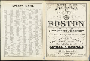
Atlas of the city of Boston : Boston proper and Roxbury : from actual surveys and official plans
51.
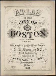
Atlas of the city of Boston : city proper : volume 1 : from actual surveys and official records
52.
Atlas of the city of Boston : city proper and Roxbury : from actual surveys and official plans
53.
Atlas of the city of Boston : city proper, volume one : from actual surveys and official plans
54.
Atlas of the city of Boston : city proper, volume two : from actual surveys and official plans
55.
Atlas of the city of Boston : Roxbury : from actual surveys and official plans
56.
Atlas of the county of Suffolk, Massachusetts : vol. 1st including Boston proper : from actual surveys and official records
57.
Atlas of the county of Suffolk, Massachusetts, vol. 1 : including Boston proper
58.
Atlas of the county of Suffolk, Massachusetts, vol. 2 : late city of Roxbury, now wards 13-14 and 15, city of Boston
59.
Atlas of the county of Suffolk, Massachusetts, vol. 3 : including South Boston and Dorchester
60.
Atlas of the county of Suffolk, Massachusetts, vol. 4 : including East Boston, city of Chelsea, Revere and Winthrop
61.
Atlas of the county of Suffolk, Massachusetts, vol. 5 : West Roxbury, now ward 17, Boston
62.
Atlas of the county of Suffolk, Massachusetts, vol. 6 : including the late city of Charlestown, now wards 20, 21, 22 City of...
63.
Atlas of the county of Suffolk, Massachusetts, vol. 7 : late town of Brighton, now ward 19 of Boston, Massachusetts
64.
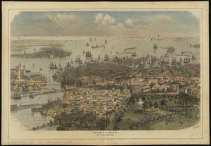
Ausicht von Boston : nach der natur aufgenommen
65.
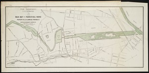
Back Bay and Parker Hill parks : Parker Hill and Jamaica parkways : Boston and Roxbury districts
66.
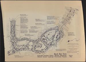
Back Bay Fens master plan
67.
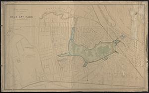
Back Bay park
68.
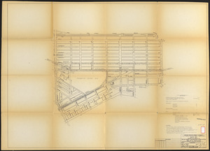
Back Bay project no. Mass. R-47 : police signal system, fire alarm system and M.T.A. facilities
69.
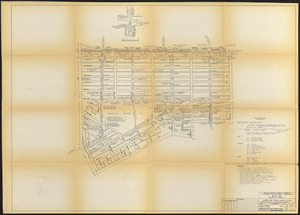
Back Bay project no. Mass R-47
70.
Back Bay study
71.
Back Bay study landscape plan
72.
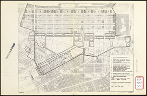
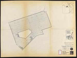
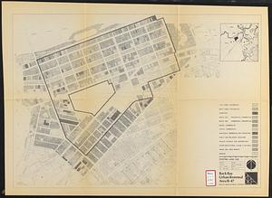
Back Bay urban renewal area r-47 : existing and proposed community facilities
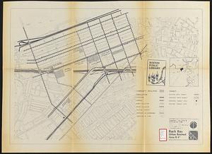
73.
Back Bay urban renewal area r-47 : existing circulation
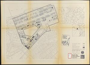
74.
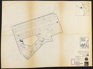
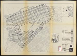
Back Bay urban renewal area r-47 : existing land use
75.
Back Bay urban renewal area r-47 : proposed treatment and title 1 projects
76.
Back Bay urban renewal area r-47 : building conditions
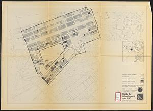
77.
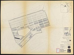
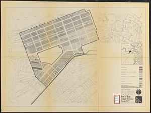
Back Bay urban renewal area r-47 : proposed land use
78.
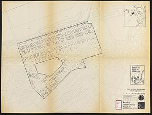
Back Bay urban renewal area r-47 : existing population density
79.
Back Bay urban renewal area r-47 : existing land use
80.
Back Bay urban renewal area r-47 : existing land use
81.
Back Bay urban renewal area r-47 : land use plan
82.
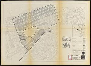
Back Bay urban renewal area r-47 : land use plan
83.
Back Bay urban renewal area r-47 : building conditions
84.
Back Bay urban renewal area r-47 : community facilities & circulation plan
85.
Back Bay urban renewal area r-47 : building conditions
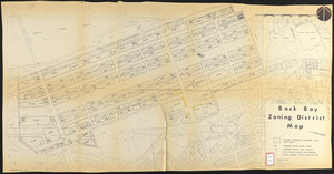
86.
Back Bay zoning district map
87.
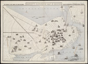
Bartlett's illustrated map of Boston, or, Stranger's guide showing the public buildings, places of amusement & its'...
88.
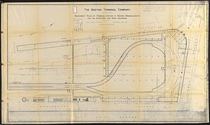
Basement plan of terminal station at Boston, Massachusetts, for the N.Y.N.H & H. and B. & A. railroads
89.
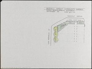
Berkeley Street community garden
90.
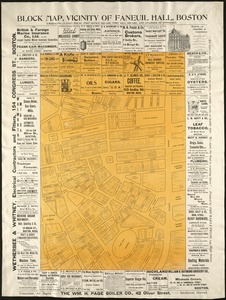
Block map, vicinity of Faneuil Hall, Boston : embracing Custom House, Post Office Square, Fort Hill Square, and Chamber of...
91.
Blue Hill Avenue commercial strip
92.
Boston
93.
Boston
94.
Boston
95.
Boston
96.
Boston
97.
Boston
98.
Boston
99.
Boston
100.
Boston
« Previous
Next »
1
2
3
4
5
…
11
12