Toggle navigation
LMEC Home
Collections
My Favorites
Exhibitions
Georeferencing
Tools for Teachers
Sign Up / Log In
Search
Search the map portal
Search
Search
Search for
Search in
All Fields
Title
Subject
Place
Creator
Search All Digital Collections
Advanced Search
1157 Results
Search Constraints
My Search
Start Over
More like
commonwealth:fj238k045
Remove constraint More like: commonwealth:fj238k045
Filter your Search
Show filters
Hide filters
Place
North and Central America
1,153
United States
1,153
Massachusetts
1,152
Suffolk (county)
1,131
Boston
1,130
Roxbury
63
South End
57
Fens
44
more
Place
»
Topic
Boston (Mass.)--Maps
771
City planning--Massachusetts--Boston--Maps
422
Urban renewal--Massachusetts--Boston--Maps
253
Real property--Massachusetts--Boston--Maps
168
Buildings--Massachusetts--Boston--Maps
125
Landowners--Massachusetts--Boston--Maps
107
Land use--Massachusetts--Boston--Maps
102
Roxbury (Boston, Mass.)--Maps
62
more
Topic
»
Creator
Boston Redevelopment Authority
391
Bromley, George Washington
36
Bromley, Walter Scott
35
G.W. Bromley & Co.
30
Geo. H. Walker & Co
27
Boynton, George W., d. 1884
21
Sampson, Davenport & Co
21
Sampson, Murdock & Co
20
more
Creator
»
Format
Maps/Atlases
1,156
Manuscripts
9
Drawings/Illustrations
3
Prints
1
Georeferenced
Yes
211
No
946
Collection
Boston and New England Maps
946
Urban Maps
836
Norman B. Leventhal Map & Education Center Collection
705
Boston Redevelopment Authority Collection
453
Massachusetts Real Estate Atlases
38
American Revolutionary War-Era Maps
31
Mapping Boston Collection
20
William L. Clements Library Collection
10
more
Collection
»
Available to use
No known restrictions
1,056
Creative Commons license
38
Sort
by date (asc)
relevance
title
date (asc)
date (desc)
recently added
Number of results to display per page
100
per page
per page
10
per page
20
per page
50
per page
100
per page
Search Results
101.
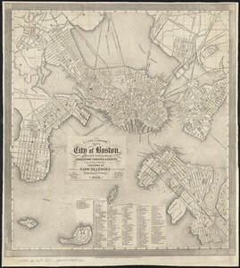
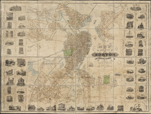
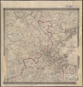
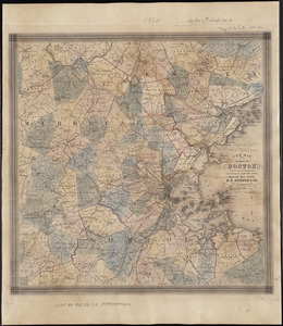
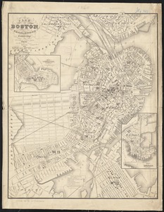
A new & complete map of the city of Boston, and precincts including part of Charlestown, Cambridge & Roxbury : from the best...
102.
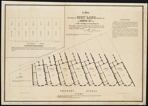
A plan of 8 lots of city land known as the Arsenal Lot : and 7 lots fronting on Providence St. to be sold at auction, on...
103.
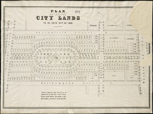
Plan of city lands to be sold Oct. 30th 1850
104.
[Plan of lots in South Boston]
105.
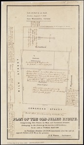
Plan of the old Julien estate : compriseing [sic] two stores on Milk and Congress Streets : belonging to the estate of the late...
106.
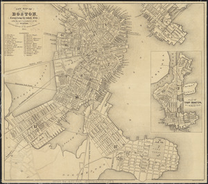
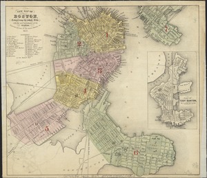
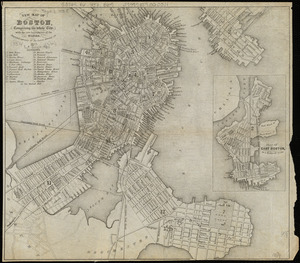
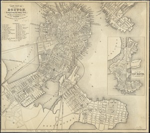
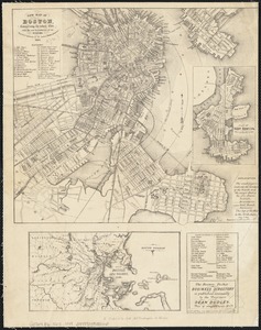
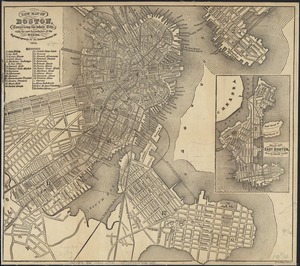
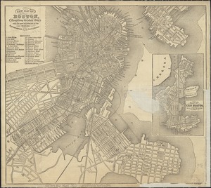
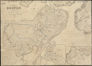
New map of Boston, comprising the whole city, with the new boundaries of the wards
107.
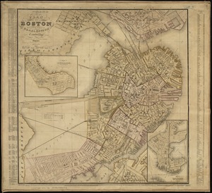
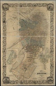
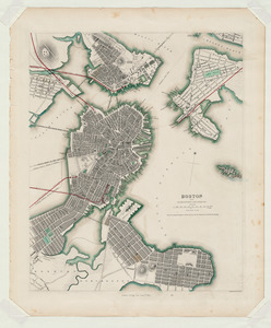
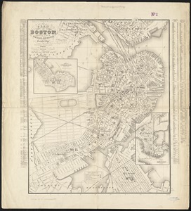
Plan of Boston comprising a part of Charlestown and Cambridge
108.
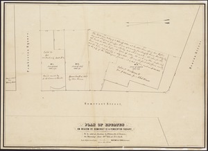
Plan of estates on Beacon St., Somerset St. & Pemberton Square : to be sold at auction by Whitwells & Seaver, on Thursday June...
109.
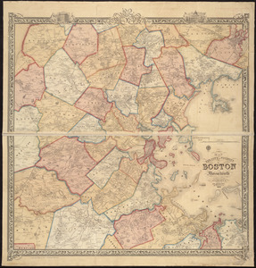
Map of the city and vicinity of Boston, Massachusetts
110.
Map of the city of Boston and immediate neighborhood : from original surveys
111.
Map of the city of Boston, Massts., 1852
112.
New map of Boston, comprising the whole city, with the new boundaries of the wards
113.
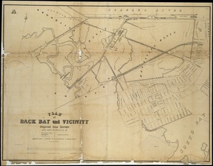
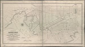
Plan of Back Bay and vicinity : prepared from surveys made under the direction of Simon Greenleaf, Joel Giles, Ezra Lincoln,...
114.
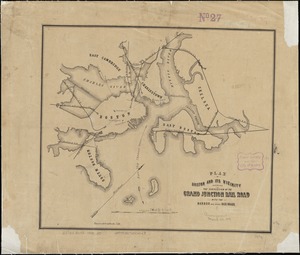
Plan of Boston and its vicinity showing the connection of the Grand Junction Rail Road with the Harbor and other Rail-roads
115.
[Plan of boundary lines in Roxbury and the City of Boston]
116.
[Plan of channels and flats as they were before the 200 feet outside of the Mill Dam was filled up]
117.
Boston with Charlestown and Roxbury
118.
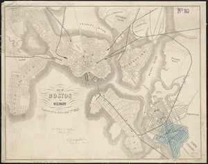
Map of Boston and vicinity
119.
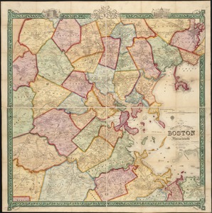
Map of the city and vicinity of Boston Massachusetts
120.
New map of Boston, comprising the whole city, with the new boundaries of the wards
121.
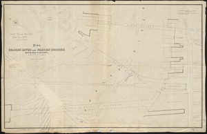
Plan of Charles River and Warren bridges, with the vicinity
122.
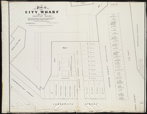
Plan of City Wharf in Boston, Mass : shewing 14 lots of land on the side of the south dock of said wharf & Commercial St. : to...
123.
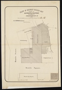
Plan of Quincy House lot, corner of Brattle St. and Brattle Sq. belonging to the estate of Josiah Quincy Jr : to be sold by...
124.
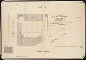
Plan of store lots near Haymarket Square : belonging to the estate of Josiah Quincy Jr. : to be sold by public auction on...
125.
[Plan of the Gore Estate at the corner of Pitts and Green streets]
126.
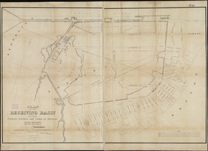
Plan of the receiving basin showing certain avenues and lines of release
127.
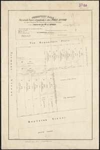
Peremptory sale : this valuable property will positively be sold at public auction on Saturday the 29th day of April current at...
128.
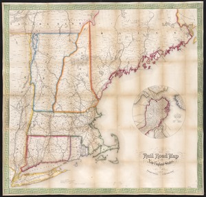
Telegraph and rail road map of the New England states
129.
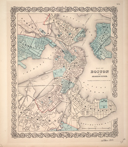
Map of Boston and adjacent cities
130.
New map of Boston, comprising the whole city, with the new boundaries of the wards
131.
Plan of Boston comprising a part of Charlestown and Cambridge
132.
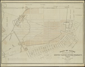
Plan of lands belonging to the Boston Water Power Company
133.
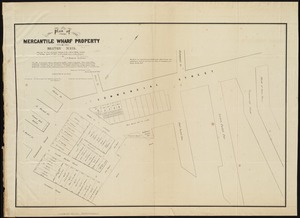
Plan of Mercantile Wharf property in Boston Mass : showing 5 lots of land thereon to be sold at public auction on Tuesday April...
134.
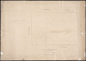
Plan of Public library lot
135.
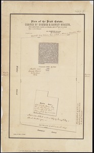
Plan of the Pratt estate, corner of Summer & Hawley Streets : to be sold by pulic auction on Thursday April 10th 1855 at 12...
136.
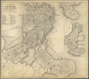
New map of Boston, comprising the whole city, with the new boundaries of the wards
137.
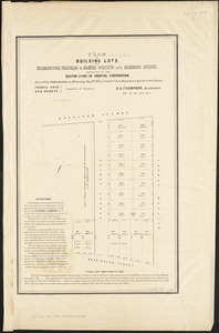
Plan of building lots on Washington, Waltham & Parker Streets and Harrison Avenue, belonging to the Boston Lying-In Hospital...
138.
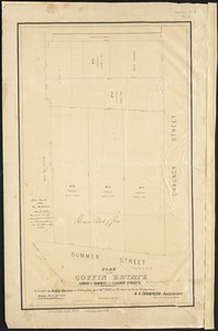
Plan of the Coffin Estate, corner of Summer and Chauncy Streets : to be sold by public auction on Wednesday April 26th 1856 at...
139.
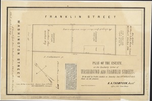
Plan of the estate on the southerly corner of Washington and Franklin Streets : to be sold by public auction on Saturday June...
140.
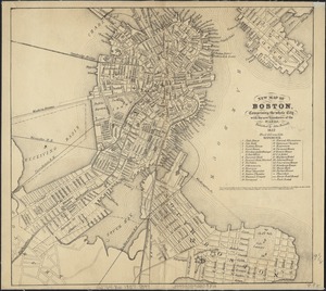
New map of Boston, comprising the whole city, with the new boundaries of the wards
141.
New map of Boston, comprising the whole city, with the new boundaries of the wards
142.
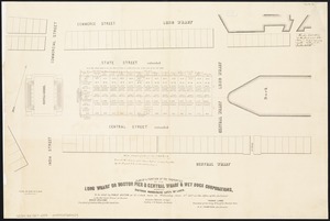
Plan of a portion of the properties of the Long Wharf or Boston Pier & Central Wharf & Wet Dock Corporatins, showing sixteen...
143.
Plan of Boston comprising a part of Charlestown and Cambridge
144.
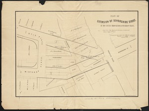
Plan of extension of Devonshire Street, by two routes through Otis and Winthrop Places
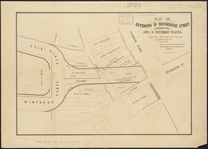
145.
Plan of extension of Devonshire Street connecting Otis & Winthrop Places
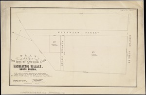
146.
Plan of two lots of valuable land in Washington Village, South Boston : to be sold at Public Auction, on Wednesday April 22d...
147.
Plans of estates of William C. Barstow
148.
Map of Boston and its vicinity : from actual surveys
149.
New map of Boston, comprising the whole city, with the new boundaries of the wards
150.
Plan of Boston comprising a part of Charlestown and Cambridge
151.
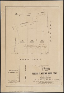
Plan of the Federal St. Meeting House estate : to be sold by public auction, on Thursday February 24th 1859, at 12 o'clock noon...
152.
Map of Boston and its vicinity : from actual surveys
153.
New map of Boston, comprising the whole city, with the new boundaries of the wards
154.
Plan of Boston comprising a part of Charlestown and Cambridge
155.
Map of Boston and the country adjacent from actual surveys
156.
New map of Boston, comprising the whole city, with the new boundaries of the wards
157.
New map of the vicinity of Boston, with the dates of settlement and distance from the capital
158.
New map of the vicinity of Boston, with the dates of settlement and distance from the capital
159.
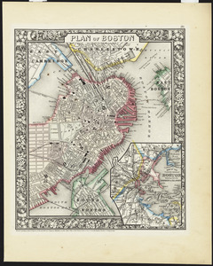
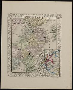
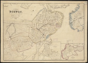
Plan of Boston
160.
Plan of Boston
161.
Plan of Boston comprising a part of Charlestown and Cambridge
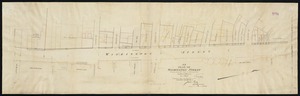
162.
Plan of Washington Street showing proposed lines of widening from Asylum to Warren : Oct. 2nd 1860
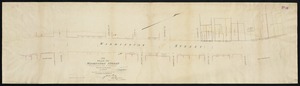
163.
Plan of Washington Street showing proposed lines of widening from Dover to Asylum : Oct. 3rd 1860
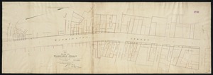
164.
Plan of Washington Street showing proposed lines of widening from Warren to Kneeland : Oct. 1st 1860
165.
A new & complete map of the city of Boston, with part of Charlestown, Cambridge & Roxbury : from the best authorities
166.
New map of Boston, comprising the whole city, with the new boundaries of the wards
167.
Plan of Boston
168.
Plan of the city of Boston
169.
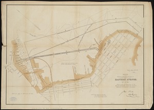
Plan showing approximate location of Eastern Avenue : Sept. 18th 1861
170.
Map of Boston : photographically reduced from the City Engineer's plans, with all the latest improvements, a complete guide to...
171.
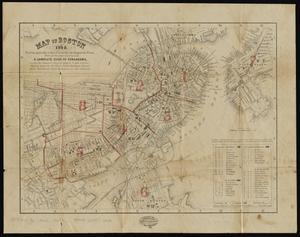
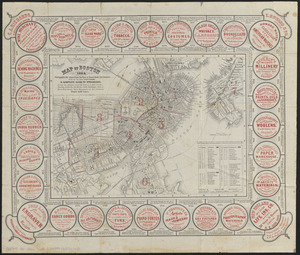
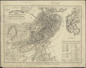
Map of Boston 1862 : photographically reduced from the plans of James Slade, City Engineer : with all the latest improvements :...
172.
Plan of Boston
173.
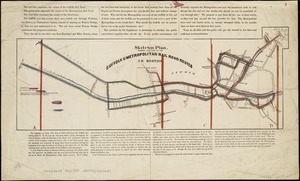
Skeleton plan, showing location of the Suffolk & Metropolitan rail road routes in Boston
174.
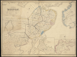
New map of Boston, comprising the whole city with the new boundariess of the wards
175.
Plan of Boston
176.
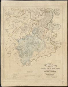
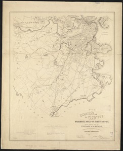
Plan of Boston and its vicinity, showing the drainage area of Stony Brook which empties into the full basin of the Back Bay
177.
Plan of Boston and its vicinity, showing the drainage area of Stony Brook which empties into the full basin of the Back Bay
178.
New map of Boston, comprising the whole city, with the new boundaries of the wards
179.
Plan for the diversion and enclosure of Stony Brook : to accompany report of W.H. Bradley, November 1864
180.
Plan of lands on the Back Bay belonging to the Boston Water Power Co., the Commonwealth and other parthies [i.e. parties],...
181.
Map of Boston, 1865 : photographically reduced from the city engineer's plans, with all the latest improvements, a complete...
182.
New map of Boston, comprising the whole city, with the new boundaries of the wards
183.
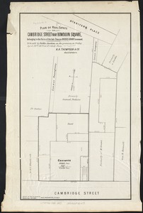
Plan of real estate on Cambridge Street near Bowdoin Square, belonging to the heirs of the late Deacon Moses : to be sold by...
184.
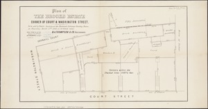
Plan of the Brooks estate corner of Court & Washington Street : to be sold at public auction, at the Merchants Exchange Reading...
185.
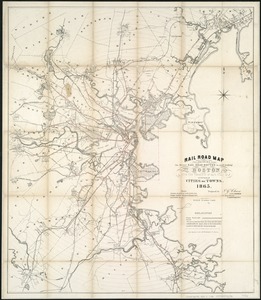
Rail road map : showing the street rail road routes in and leading from Boston, with the terminus of each road in suburban...
186.
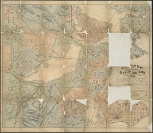
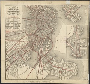
Railroad map of all street and steam railroads in Boston and vicinity
187.
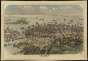
Ausicht von Boston : nach der natur aufgenommen
188.
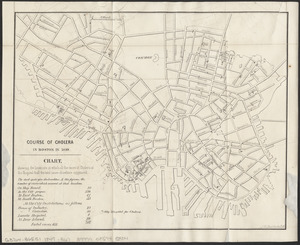
Course of cholera in Boston in 1849
189.
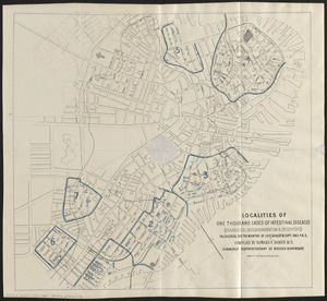
Localities of one thousand cases of intestinal diseases (diarrhoea, cholera-infantum & dysentery) in children, for the months...
190.
Map of the city of Boston and its environs
191.
New map of Boston, comprising the whole city, with the new boundaries of the wards
192.
Plan of Boston
193.
Plan of Boston
194.
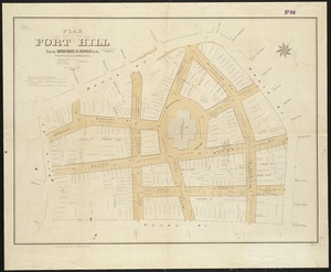
Plan of Fort Hill showing improvements as proposed by the Committee on laying out and widening streets
195.
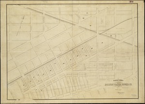
Plan of lands belonging to the Boston Water Power Co
196.
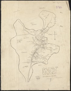
A rough and inaccurate sketch of the streets of Boston as they are supposed to have been first laid out & the owners of the...
197.
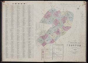
Insurance map of Boston : volume 1
198.
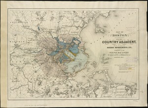
Map of Boston (as it should be) and the country adjacent, with proposed harbor improvements, etc
199.
Map of Boston, comprising the whole city, with the new boundaries of the wards
200.
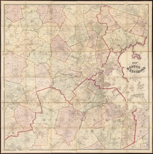
Map of the city of Boston and its environs
« Previous
Next »
1
2
3
4
5
6
…
11
12