Toggle navigation
LMEC Home
Collections
My Favorites
Exhibitions
Georeferencing
Tools for Teachers
Sign Up / Log In
Search
Search the map portal
Search
Search
Search for
Search in
All Fields
Title
Subject
Place
Creator
Search All Digital Collections
Advanced Search
1151 Results
Search Constraints
My Search
Start Over
More like
commonwealth:fj238k045
Remove constraint More like: commonwealth:fj238k045
Filter your Search
Show filters
Hide filters
Place
North and Central America
1,147
United States
1,147
Massachusetts
1,146
Suffolk (county)
1,125
Boston
1,124
Roxbury
63
South End
57
Charlestown
42
more
Place
»
Topic
Boston (Mass.)--Maps
768
City planning--Massachusetts--Boston--Maps
419
Urban renewal--Massachusetts--Boston--Maps
253
Real property--Massachusetts--Boston--Maps
165
Buildings--Massachusetts--Boston--Maps
125
Landowners--Massachusetts--Boston--Maps
107
Land use--Massachusetts--Boston--Maps
102
Roxbury (Boston, Mass.)--Maps
62
more
Topic
»
Creator
Boston Redevelopment Authority
391
Bromley, George Washington
36
Bromley, Walter Scott
35
G.W. Bromley & Co.
30
Geo. H. Walker & Co
27
Boynton, George W., d. 1884
21
Sampson, Davenport & Co
21
Sampson, Murdock & Co
20
more
Creator
»
Format
Maps/Atlases
1,150
Manuscripts
9
Drawings/Illustrations
3
Prints
1
Georeferenced
Yes
211
No
940
Collection
Boston and New England Maps
940
Urban Maps
833
Norman B. Leventhal Map & Education Center Collection
699
Boston Redevelopment Authority Collection
453
Massachusetts Real Estate Atlases
38
American Revolutionary War-Era Maps
31
Mapping Boston Collection
20
William L. Clements Library Collection
10
more
Collection
»
Available to use
No known restrictions
1,050
Creative Commons license
38
Sort
by date (asc)
relevance
title
date (asc)
date (desc)
recently added
Number of results to display per page
100
per page
per page
10
per page
20
per page
50
per page
100
per page
Search Results
1101.
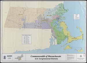
Commonwealth of Massachusetts U.S. congressional districts
1102.
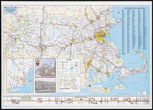
Massachusetts Turnpike map : the main street of Massachusetts
1103.
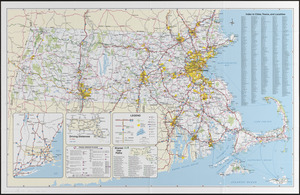
Massachusetts official transportation map
1104.
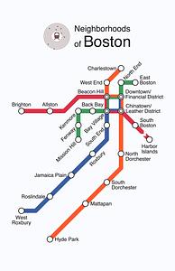
Neighborhoods of Boston
1105.
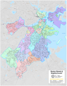
Boston streets & neighborhoods
1106.
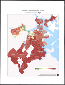
Boston's diversity index, 2010 : measures of diversity : age
1107.
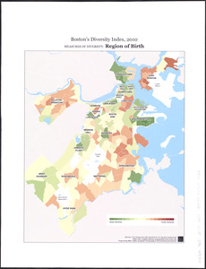
Boston's diversity index, 2010 : measures of diversity : region of birth
1108.
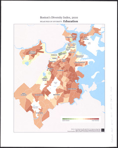
Boston's diversity index, 2010 : measures of diversity : education
1109.
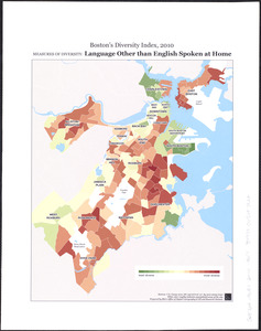
Boston's diversity index, 2010 : measures of diversity : language other than English spoken at home
1110.
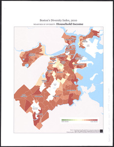
Boston's diversity index, 2010 : measures of diversity : household income
1111.
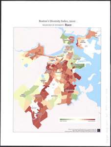
Boston's diversity index, 2010 : measures of diversity : race
1112.
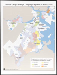
Boston's top 6 foreign languages spoken at home, 2010
1113.
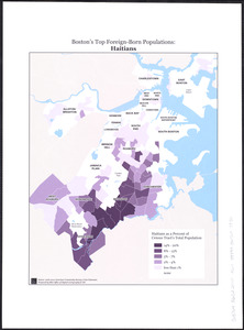
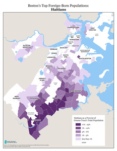
Boston's top foreign-born populations : Haitians
1114.
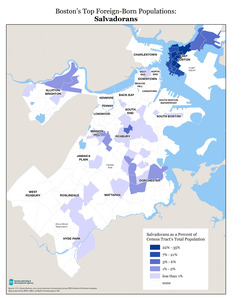
Boston's top foreign-born populations : Salvadorans
1115.
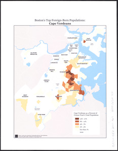
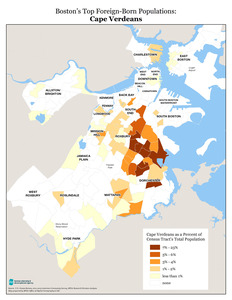
Boston's top foreign-born populations : Cape Verdeans
1116.
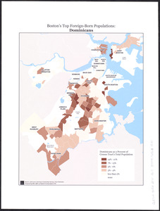
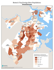
Boston's top foreign-born populations : Dominicans
1117.
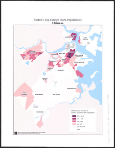
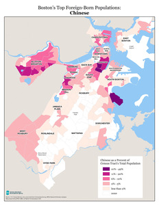
Boston's top foreign-born populations : Chinese
1118.
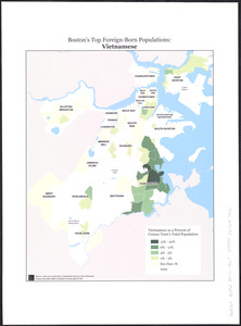
Boston's top foreign-born populations : Vietnamese
1119.
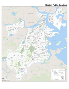
Boston public services
1120.
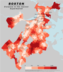
Boston distance to the nearest supermarket
1121.
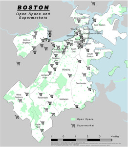
Boston open space and supermarkets
1122.
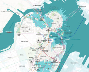
Downtown flood progression, 36 inches sea level rise
1123.
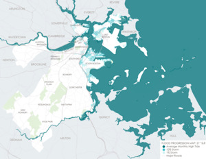
Flood progression map : 21" SLR
1124.
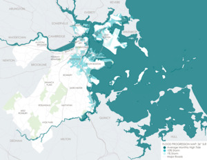
Flood progression map : 36" SLR
1125.
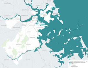
Flood progression map : 9" SLR
1126.
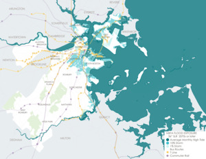
MBTA flood exposure : 36" SLR 2070s or later
1127.
Boston area neighborhood consensus
1128.
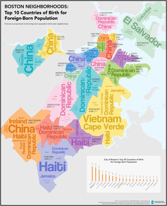
Boston neighborhoods : top 10 countries of birth for foreign-born population
1129.
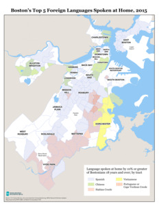
Boston's top 5 foreign languages spoken at home, 2015
1130.
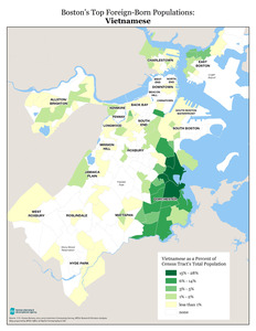
Boston's top foreign-born populations : Vietnamese
1131.
Boston's top foreign-born populations : Dominicans
1132.
Boston's top foreign-born populations : Haitians
1133.
Boston's top foreign-born populations : Chinese
1134.
Boston's top foreign-born populations : Salvadorans
1135.
Boston's top foreign-born populations : Cape Verdeans
1136.
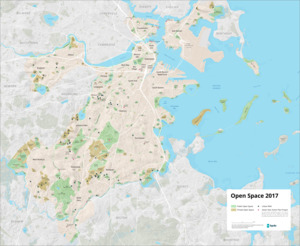
Open space 2017
1137.
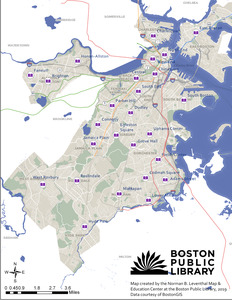
Boston Public Library
1138.
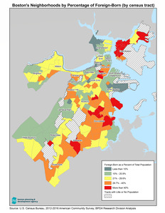
Boston's neighborhoods by percentage of foreign-born (by census tract)
1139.
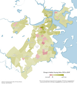
Change in median housing value, 2010 to 2018
1140.
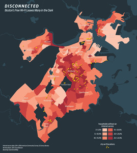
Disconnected : Boston's free wi-fi leaves many in the dark
1141.
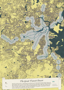
The great transit desert
1142.
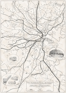
Map of public transportation routes in Greater Boston served by the Massachusetts Bay Transportation Authority comprising 64...
1143.
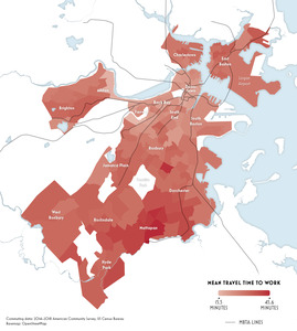
Mean travel time to work
1144.
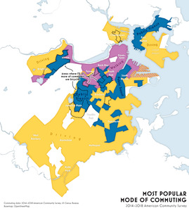
Most popular mode of commuting : 2014-2018 American Community Survey
1145.
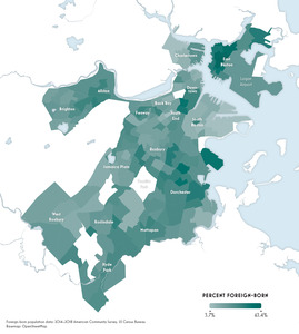
Percent foreign-born
1146.
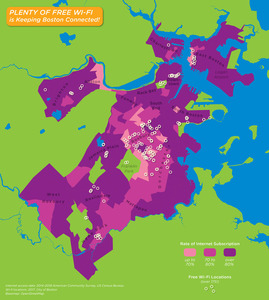
Plenty of free wi-fi is keeping Boston connected!
1147.
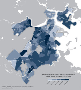
Proportion of units where rent costs over 30% of resident's income
1148.
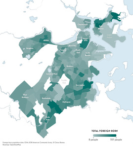
Total foreign-born
1149.
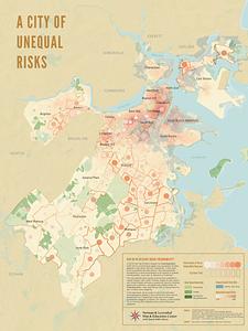
A city of unequal risks
1150.
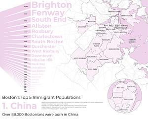
Boston's top 5 immigrant populations
1151.
A map of the Boston Marathon : since 1897
« Previous
Next »
1
2
…
8
9
10
11
12