Toggle navigation
LMEC Home
Collections
My Favorites
Exhibitions
Georeferencing
Tools for Teachers
Sign Up / Log In
Search
Search the map portal
Search
Search
Search for
Search in
All Fields
Title
Subject
Place
Creator
Search All Digital Collections
Advanced Search
1157 Results
Search Constraints
My Search
Start Over
More like
commonwealth:fj238k045
Remove constraint More like: commonwealth:fj238k045
Filter your Search
Show filters
Hide filters
Place
North and Central America
1,153
United States
1,153
Massachusetts
1,152
Suffolk (county)
1,131
Boston
1,130
Roxbury
63
South End
57
Fens
44
more
Place
»
Topic
Boston (Mass.)--Maps
771
City planning--Massachusetts--Boston--Maps
422
Urban renewal--Massachusetts--Boston--Maps
253
Real property--Massachusetts--Boston--Maps
168
Buildings--Massachusetts--Boston--Maps
125
Landowners--Massachusetts--Boston--Maps
107
Land use--Massachusetts--Boston--Maps
102
Roxbury (Boston, Mass.)--Maps
62
more
Topic
»
Creator
Boston Redevelopment Authority
391
Bromley, George Washington
36
Bromley, Walter Scott
35
G.W. Bromley & Co.
30
Geo. H. Walker & Co
27
Boynton, George W., d. 1884
21
Sampson, Davenport & Co
21
Sampson, Murdock & Co
20
more
Creator
»
Format
Maps/Atlases
1,156
Manuscripts
9
Drawings/Illustrations
3
Prints
1
Georeferenced
Yes
211
No
946
Collection
Boston and New England Maps
946
Urban Maps
836
Norman B. Leventhal Map & Education Center Collection
705
Boston Redevelopment Authority Collection
453
Massachusetts Real Estate Atlases
38
American Revolutionary War-Era Maps
31
Mapping Boston Collection
20
William L. Clements Library Collection
10
more
Collection
»
Available to use
No known restrictions
1,056
Creative Commons license
38
Sort
by date (asc)
relevance
title
date (asc)
date (desc)
recently added
Number of results to display per page
100
per page
per page
10
per page
20
per page
50
per page
100
per page
Search Results
1001.
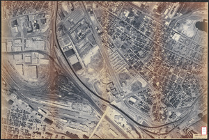
Aerial photo of Charlestown, Massachusetts
1002.
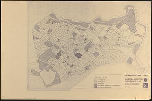
Allston-Brighton open space plan site inventory
1003.
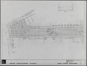
Appleton St. Woonerf
1004.
Boston University buildings
1005.
Columbia Point development study
1006.
Historical map of the Emerald Necklace
1007.
A land ownership map for the Longwood Medical Area as of January 1980
1008.
Metropolitan District Commission combined sewer overflow project Dorchester Bay area
1009.
Outline map and view of the Prudential Center area
1010.
Parcel 22
1011.
Topographic map of Boston, Mass.
1012.
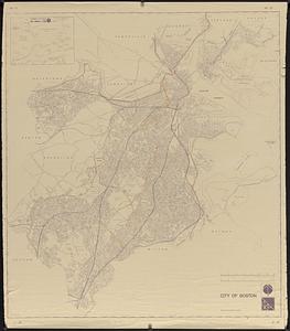
City of Boston
1013.
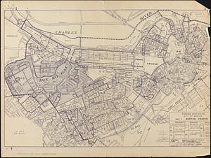
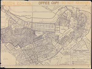
Zoning districts, city of Boston
1014.
Off-street parking inventory within Boston proper
1015.
Parcel D-10
1016.
Boston city map & guide to the Freedom Trail & national historical park
1017.
T system map
1018.
St. James Avenue garage parcel
1019.
Marketplace Center : topographical survey plan
1020.
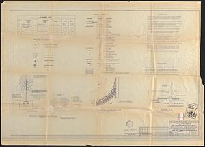
Central business district urban renewal area project no. Mass. R-82L site preparation contract T : planting plan and details
1021.
Plan for the construction of improvements at the Boston Common
1022.
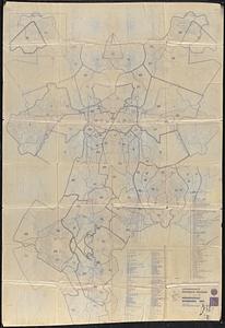
Neighborhood boundaries 1980
1023.
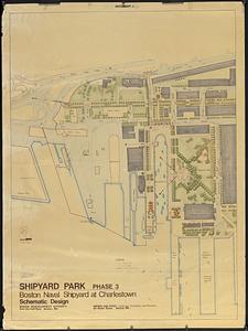
Shipyard Park phase 3 : Boston Naval Shipyard at Charlestown : schematic design
1024.
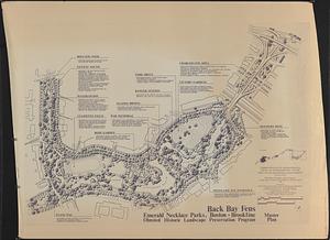
Back Bay Fens master plan
1025.
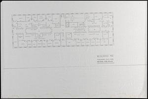
Building #33, Charlestown Navy Yard flr. plans
1026.
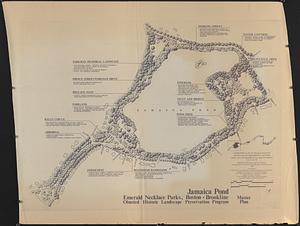
Jamaica Pond master plan
1027.
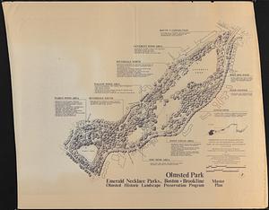
Olmsted Park master plan
1028.
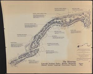
The Riverway master plan
1029.
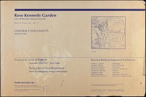
Rose Kennedy Garden : contract documents August 1986 : prepared for City of Boston ; Parks & Recreations Department ; Boston...
1030.
Wastewater system map, Boston proper, sheet no. 21h
1031.
Water distribution system map, Boston proper, sheet no. 21h
1032.
Water distribution system map, Boston proper, sheet no. 22h
1033.
Water system map, Boston proper, sheet no. 22h
1034.
DEM/BRA Long Wharf master plan : schematic'
1035.
Long Wharf DEM/BRA master plan : proposed dredging scheme
1036.
Long Wharf DEM/BRA master plan : master plan scheme
1037.
Long Wharf phase II illustrative plan
1038.
Union Park
1039.
Plan for Boston
1040.
Boston Common - Barry Memorial
1041.
Boston University, Charles River campus master plan
1042.
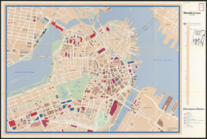
Downtown Boston
1043.
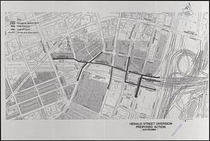
Herald Street improvements
1044.
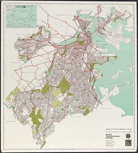
Major thoroughfare system : city of Boston, May 1987
1045.
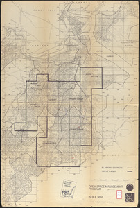
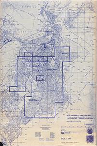
Open space management program index map
1046.
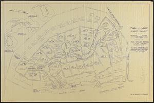
Plan of land and street layout in Boston, Mass., Hyde Park : prepared for the Stoney Brook Land Trust
1047.
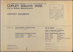
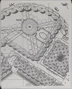
Site preparation contract for the reconstruction of Copley Square Park, City of Boston, Massachusetts : contract documents
1048.
Site preparation contract tree planting - various locations
1049.
Union Park landscape improvements
1050.
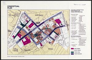
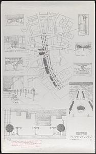
Conceptual plan
1051.
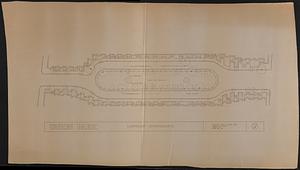
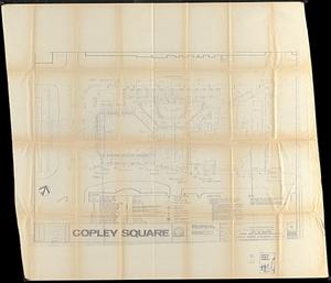
Copley Square : layout and pavement plan with tree numbers added
1052.
Rose F. Kennedy Garden
1053.
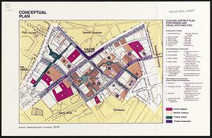
Conceptual plan
1054.
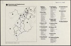
Downtown and neighborhood cultural facilities
1055.
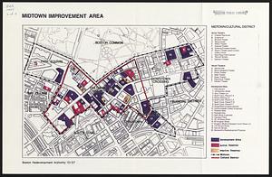
Midtown improvement area
1056.
Hancock Woods EGA
1057.
Charlestown Navy Yard area
1058.
Charlestown Veterans Memorial, Charlestown, Massachusetts
1059.
Landscaping plan of City Hall Plaza, Boston
1060.
Massachusetts Bay Transportation Authority system map
1061.
Shawmut Avenue
1062.
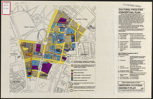
Cultural facilities conceptual plan
1063.
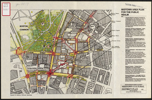
Midtown area plan for the public realm
1064.
South End urban renewal area project Mass. r-56 site preparation contract no. 50 Worcester Square Park reconstruction
1065.
New Congress Street improvements
1066.
Architectural styles, Chinatown historic core, historic edge
1067.
James Hayes Park
1068.
John Hancock office and parking garage complex, Boston, Massachusetts
1069.
Mass pike air rights study
1070.
Zoning districts, city of Boston
1071.
Hancock Woods : as of right plan
1072.
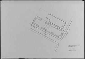
660 Wakulah St., Roxbury
1073.
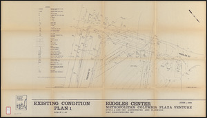
Ruggles Center : existing condition plan
1074.
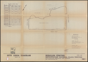
Ruggles Center : site area diagram
1075.
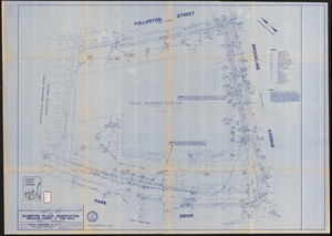
FPIR/FEIR Olmsted Plaza : a redevelopment of the Sears property, 309 Park Drive/201 Brookline Avenue in the Fenway
1076.
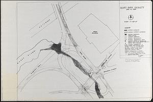
Sears Park conceptual site plan with historic waterway
1077.
Brighton and Allston urban design strategy
1078.
Columbia Point updated base maps
1079.
Flirtation walk existing conditions plan Charlestown Navy Yard
1080.
Gate 5 - Chelsea Street modified landscape scheme, Charlestown, MA
1081.
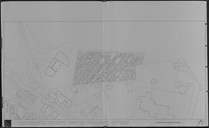
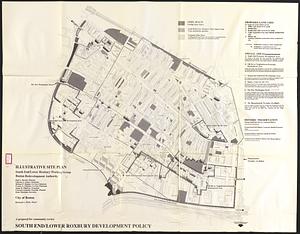
Illustrative site plan : a proposal for community review South End/Lower Roxbury development policy
1082.
Illustrative site plan : a proposal for community review South End/Lower Roxbury development policy
1083.
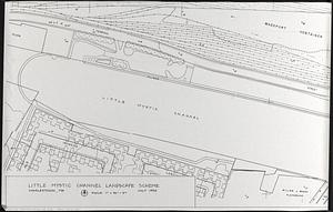
Little Mystic Channel landscape scheme, Charlestown, MA
1084.
Outline map of Boston
1085.
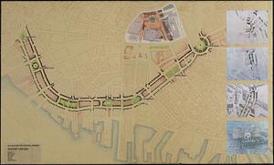
A plan for the Central Artery
1086.
Ropewalk bldg. Charlestown Navy Yard
1087.
Shadow analysis
1088.
Street trees Comm. Ave.
1089.
View of the South End
1090.
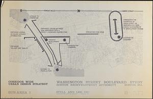
Washington Street boulevard study : corridor wide urban design strategy
1091.
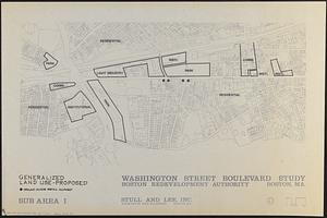
Washington Street boulevard study : generalized land use - proposed
1092.
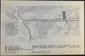
Washington Street boulevard study : proposed fabric
1093.
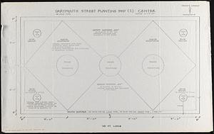
Planting beds on Dartmouth Street and Boylston Street in Copley Square
1094.
Flirtation walk schematic planting plan Charlestown Navy Yard
1095.
EOEA wide area network
1096.
Longwood Medical Area
1097.
Berkeley Street community garden
1098.
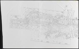
Infrastructure around Tobin Bridge/US route 1 in Charlestown
1099.
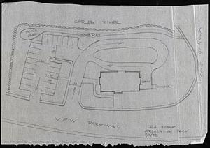
Circulation plan of parking lot at the corner of VFW Parkway and Spring Street, West Roxbury
1100.
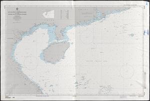
Asia, South China Sea, Mui Da Nang to Shenquan Gang including Hainan Dao and Parcel Islands
« Previous
Next »
1
2
…
7
8
9
10
11
12