Toggle navigation
LMEC Home
Collections
My Favorites
Exhibitions
Georeferencing
Tools for Teachers
Sign Up / Log In
Search
Search the map portal
Search
Search
Search for
Search in
All Fields
Title
Subject
Place
Creator
Search All Digital Collections
Advanced Search
8956 Results
Search Constraints
My Search
Start Over
More like
commonwealth:d791w1582
Remove constraint More like: commonwealth:d791w1582
Filter your Search
Show filters
Hide filters
Place
North and Central America
6,141
United States
5,045
Massachusetts
2,217
Europe
1,415
Suffolk (county)
1,123
Boston
1,092
Canada
459
Asia
445
more
Place
»
Topic
Boston (Mass.)--Maps
597
United States--Maps
283
Real property--Massachusetts--Boston--Maps
180
Massachusetts--Maps
170
Landowners--Massachusetts--Boston--Maps
133
City planning--Massachusetts--Boston--Maps
120
New England--Maps
106
North America--Maps--Early works to 1800
103
more
Topic
»
Creator
United States. Hydrographic Office
596
O.H. Bailey & Co
148
Des Barres, Joseph F. W. (Joseph Frederick Wallet), 1722-1824
122
United States. Post Office Dept
120
Boston Redevelopment Authority
117
Ptolemy, 2nd cent
100
Geological Survey (U.S.)
98
Walling, Henry Francis, 1825-1888
94
more
Creator
»
Format
Maps/Atlases
8,893
Manuscripts
215
Prints
56
Books
39
Objects/Artifacts
11
Drawings/Illustrations
8
Posters
5
Georeferenced
Yes
970
No
7,986
Collection
Norman B. Leventhal Map & Education Center Collection
8,900
Boston and New England Maps
2,387
Urban Maps
2,100
Maritime Charts and Atlases
1,083
American Revolutionary War-Era Maps
620
Boston Redevelopment Authority Collection
143
Applied Geographics, Inc. Records
1
Available to use
No known restrictions
8,801
Creative Commons license
60
Sort
by relevance
relevance
title
date (asc)
date (desc)
recently added
Number of results to display per page
20
per page
per page
10
per page
20
per page
50
per page
100
per page
Search Results
1.
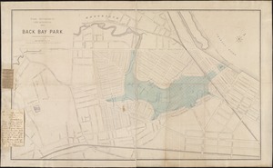
Back Bay park
2.
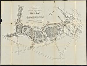
Proposed improvement of Back Bay
3.
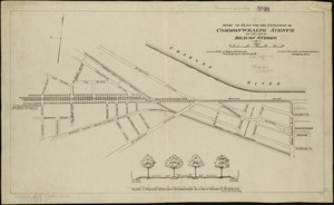
Study of plan for the extension of Commonwealth Avenue on the line of Beacon Street
4.
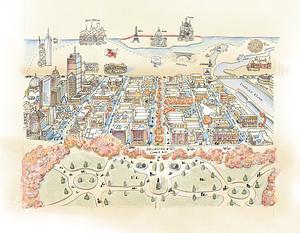
Back Bay view of the world
5.
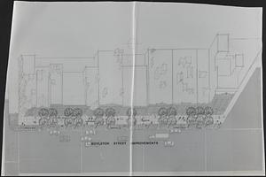
Boylston Street improvements
6.
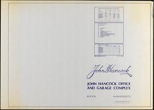
John Hancock office and parking garage complex, Boston, Massachusetts
7.
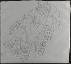
Outline map and view of the Prudential Center area
8.
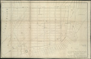
Plan accompanying the proposal made to the City of Boston by the Commissioners on Boston Harbor and the Back Bay Octr. 20, 1854...
9.
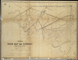
Plan of Back Bay and vicinity : prepared from surveys made under the direction of Simon Greenleaf, Joel Giles, Ezra Lincoln,...
10.
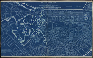
Plan of Back Bay showing improvements on streets and estates
11.
[Plan of boundary lines in Roxbury and the City of Boston]
12.
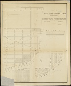
Plan of house lots & other lands offered for sale by the Boston Water Power Company
13.
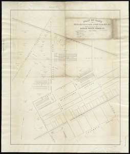
Plan of land on West Chester Park and Huntington Ave. belonging to the Boston Water Power Co
14.
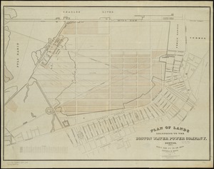
Plan of lands belonging to the Boston Water Power Company
15.
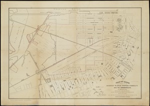
Plan of lands belonging to the Boston Water Power Company and the Commonwealth, on the Back Bay, showing part of the city...
16.
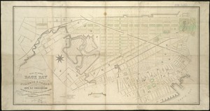
Plan of lands on the Back Bay belonging to the Boston Water Power Co., the Commonwealth and other parthies [i.e. parties],...
17.
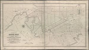
Plan of lands on the Back Bay, belonging to the Boston Water Power Co., the Commonwealth, and other parties, showing the system...
18.
[Plan of lots on Falmouth Street, Boston]
19.
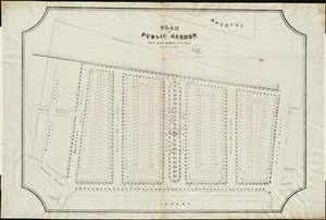
Plan of Public Garden : showing proposed arrangement of lots thereon
20.
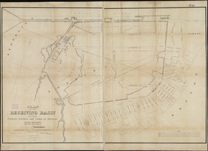
Plan of the receiving basin showing certain avenues and lines of release
« Previous
Next »
1
2
3
4
5
…
447
448