Toggle navigation
LMEC Home
Collections
My Favorites
Exhibitions
Georeferencing
Tools for Teachers
Sign Up / Log In
Search
Search the map portal
Search
Search
Search for
Search in
All Fields
Title
Subject
Place
Creator
Search All Digital Collections
Advanced Search
173 Results
Search Constraints
My Search
Start Over
More like
commonwealth:d217wr30c
Remove constraint More like: commonwealth:d217wr30c
Filter your Search
Show filters
Hide filters
Place
North and Central America
160
United States
157
Massachusetts
124
Middlesex (county)
18
Norfolk (county)
11
Bristol (county)
9
Dedham
9
Suffolk (county)
9
more
Place
»
Topic
Massachusetts--Maps
22
Dedham (Mass.)--Maps
10
Maine--Maps
5
Merrimack River Watershed (N.H. and Mass.)--Maps
5
Newton (Mass.)--Maps
5
Election districts--Massachusetts--Maps
4
Land use--Massachusetts--Maps
4
Massachusetts--Administrative and political divisions--Election districts--Maps
4
more
Topic
»
Creator
Applied Geographics, Inc.
67
MassGIS (Office : Mass.)
57
Massachusetts. Executive Office of Environmental Affairs
32
Geological Survey (U.S.)
15
Massachusetts Bays Program
9
Massachusetts Coastal Zone Management Office
9
National Ocean Survey
7
Massachusetts. Department of Environmental Protection
4
more
Creator
»
Format
Maps/Atlases
172
Ephemera
1
Georeferenced
Yes
7
No
166
Collection
Norman B. Leventhal Map & Education Center Collection
172
Applied Geographics, Inc. Records
166
Boston and New England Maps
132
Urban Maps
30
Maritime Charts and Atlases
17
Massachusetts Real Estate Atlases
1
Available to use
No known restrictions
172
Sort
by title
relevance
title
date (asc)
date (desc)
recently added
Number of results to display per page
10
per page
per page
10
per page
20
per page
50
per page
100
per page
Search Results
111.
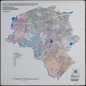
Public works improvements for the year 1995
112.
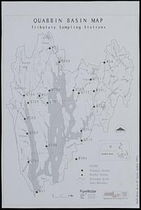
Quabbin basin map tributary sampling stations
113.
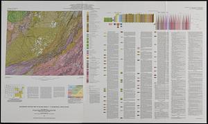
Quaternary geologic map of the Blue Ridge 4° x 6° quadrangle, United States
114.
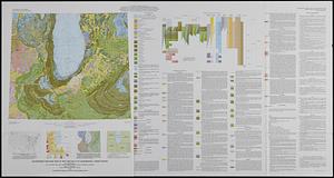
Quaternary geologic map of the Chicago 4° x 6° quadrangle, United States
115.
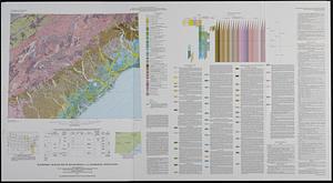
Quaternary geologic map of the Savannah 4° x 6° quadrangle, United States
116.
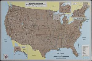
Recreational opportunities at Federal Energy Regulatory Commission licensed hydropower projects
117.
Rhode Island freight rail improvement project environmental impact statement
118.
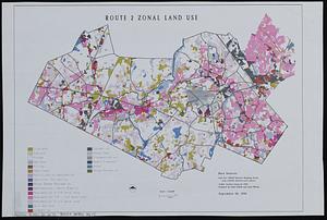
Route 2 zonal land use
119.
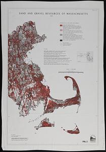
Sand and gravel resources of Massachusetts sheet 2
120.
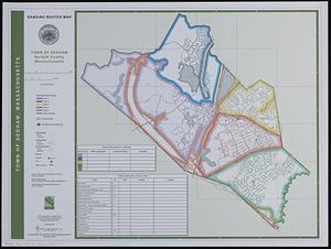
Sanding routes map : town of Dedham, Norfolk County, Massachusetts
« Previous
Next »
1
2
…
8
9
10
11
12
13
14
15
16
17
18