Toggle navigation
LMEC Home
Exhibitions
Georeferencing
Tools for Teachers
Collections
My Favorites
Sign Up / Log In
Search
Search the map portal
Map Collection
Map Collection
Map Sets
Search
Search
Search for
Search In
All Fields
Creator
Title
Subject
Place
Search All Digital Collections
Advanced Search
8162 Results
My Search
Start Over
More Like
commonwealth:cj82kx42m
Remove constraint More Like: commonwealth:cj82kx42m
Filter your Search
Place
North and Central America
4,912
United States
3,602
Suffolk (county)
1,026
Boston
999
Europe
962
Canada
427
France
269
Massachusetts
249
more
Place
»
Topic
Boston (Mass.)--Maps
574
United States--Maps
270
Real property--Massachusetts--Boston--Maps
174
Massachusetts--Maps
160
Landowners--Massachusetts--Boston--Maps
132
North America--Maps--Early works to 1800
103
New England--Maps
99
Europe--Maps
78
more
Topic
»
Date
Date range begin
–
Date range end
Current results range from
1482
to
2023
View distribution
Creator
United States. Hydrographic Office
357
O.H. Bailey & Co
148
Des Barres, Joseph F. W. (Joseph Frederick Wallet), 1722-1824
123
United States. Post Office Dept
120
Ptolemy, 2nd cent
100
Walling, Henry Francis, 1825-1888
94
Jefferys, Thomas, -1771
84
Geological Survey (U.S.)
82
more
Creator
»
Format
Maps/Atlases
8,103
Manuscripts
215
Prints
51
Books
36
Objects/Artifacts
10
Drawings/Illustrations
8
Posters
4
Georeferenced
Yes
869
No
7,293
Collection
Norman B. Leventhal Map Center Collection
8,162
Boston and New England Maps
2,184
Urban Maps
1,925
Maritime Charts and Atlases
750
American Revolutionary War-Era Maps
616
Boston Redevelopment Authority Collection
86
Available to use
No known restrictions
8,021
Creative Commons license
46
Search Constraints
Sort by relevance
relevance
title
date (asc)
date (desc)
Number of results to display per page
20 per page
10
per page
20
per page
50
per page
100
per page
View results as:
grid view
map view
Search Results
1.
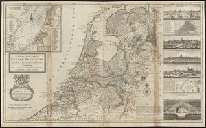
Les provinces des Pays-Bas Catholiques ou A most exact map of Flanders or ye Austrian Netherlands &c : it comprehends all the...
2.
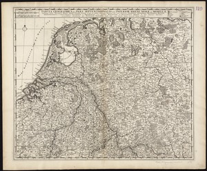
Tabula geographica qua pars septentrionalis sive Inferior Rheni, Mosae, et Mosellae, maximaeque partes Visurgis, Moeni, Amasi,...
3.
Novissima Flandriae comitatus tabula cum omnibus praefecturis, ect : et suis adjacentis provinciis
4.
The Spainish Netherlands, vulgarly called Flanders, devided into its X provinces, wherein are delineated the fortified towns...
5.
Belgii veteris typus
6.
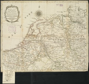
Nouvelle carte geographique des postes des Païs Bas, de la Westphalie, & des provinces limitrophes
7.
Novissima et accuratissima XVII provinciarum Germaniae inferioris tabula
8.
Foederatae Belgicae tabula : in multis locis emendata et in lucem
9.
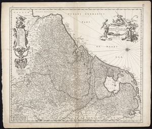
Hollandia comitatus
10.
Hollandiae pars septentrionalis, vulgo Westuriesland et 't Noorder Quartier
11.
Hollandiae septentrionalis & Frisiae occidentalis accuratissima delineatio
12.
A new and exact map of the United Provinces, or Netherlands &c
13.
Noordt Hollandt
14.
Rhenolandiae et Amstellandiae exactissima tabula
15.
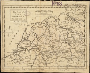
The seat of war in the circle of Westphalia
16.
The Seven United Provinces of Netherland : with its circumjacent borders
17.
Circulus electorum Rheni sive Rhenanus Inferior complectens accuratam descriptionem Archiepiscopatus Moguntini Coloniensis et...
18.
Ducatus Meklenburgicus in quo sunt Ducatus Vandaliae et Meklenburgi Comitatus et Episcopatus Swerinensis Rostochiense et...
19.
Electoratus et Palatinatus Rheni Episcopatuum Spirensis et Wormacensis ducatuum Bipontii et Simmerae et Comitatuum...
20.
Map of the Empire of Germany : including all the states comprehended under that name : with the Kingdom of Prussia, &c
‹ Prev
Next ›
1
2
3
4
5
…
408
409