Search Constraints
Search Results


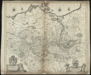


![S.R.I. Sueviae Circulus atq[ue] Ducatus una cum insertis et adjacentibus Regionibus, accuratissime in earundem particulares provincias divisum](https://bpldcassets.blob.core.windows.net/derivatives/images/commonwealth:cj82kw70k/image_thumbnail_300.jpg)

21. Ta. mo. Germa


25. 1630 shoreline


31. 227 Harzgerode

32. 305 Glatz


34. 4 Kinten

![[A chart of Boston Bay and vicinity]](https://bpldcassets.blob.core.windows.net/derivatives/images/commonwealth:cj82m2976/image_thumbnail_300.jpg)


76. Adriatic


78. Aegyptus Antiqua


89. Africa


91. Africa

92. Africa

93. Africa

94. Africa

95. Africa


