Toggle navigation
LMEC Home
Exhibitions
Georeferencing
Tools for Teachers
Collections
My Favorites
Sign Up / Log In
Search
Search the map portal
Map Collection
Map Collection
Map Sets
Search
Search
Search for
Search In
All Fields
Creator
Title
Subject
Place
Search All Digital Collections
Advanced Search
8162 Results
My Search
Start Over
More Like
commonwealth:cj82kw678
Remove constraint More Like: commonwealth:cj82kw678
Filter your Search
Place
North and Central America
4,912
United States
3,602
Suffolk (county)
1,026
Boston
999
Europe
962
Canada
427
France
269
Massachusetts
249
more
Place
»
Topic
Boston (Mass.)--Maps
574
United States--Maps
270
Real property--Massachusetts--Boston--Maps
174
Massachusetts--Maps
160
Landowners--Massachusetts--Boston--Maps
132
North America--Maps--Early works to 1800
103
New England--Maps
99
Europe--Maps
78
more
Topic
»
Date
Date range begin
–
Date range end
Current results range from
1482
to
2023
View distribution
Creator
United States. Hydrographic Office
357
O.H. Bailey & Co
148
Des Barres, Joseph F. W. (Joseph Frederick Wallet), 1722-1824
123
United States. Post Office Dept
120
Ptolemy, 2nd cent
100
Walling, Henry Francis, 1825-1888
94
Jefferys, Thomas, -1771
84
Geological Survey (U.S.)
82
more
Creator
»
Format
Maps/Atlases
8,103
Manuscripts
215
Prints
51
Books
36
Objects/Artifacts
10
Drawings/Illustrations
8
Posters
4
Georeferenced
Yes
869
No
7,293
Collection
Norman B. Leventhal Map Center Collection
8,162
Boston and New England Maps
2,184
Urban Maps
1,925
Maritime Charts and Atlases
750
American Revolutionary War-Era Maps
616
Boston Redevelopment Authority Collection
86
Available to use
No known restrictions
8,021
Creative Commons license
46
Search Constraints
Sort by relevance
relevance
title
date (asc)
date (desc)
Number of results to display per page
20 per page
10
per page
20
per page
50
per page
100
per page
View results as:
grid view
map view
Search Results
1.
Circulus electorum Rheni sive Rhenanus Inferior complectens accuratam descriptionem Archiepiscopatus Moguntini Coloniensis et...
2.
Archiepiscopatus et Electoratus Moguntini et adjacentium regionum, ut Landgraviatuum Hasso Darmstadiensis et Rhenofeldensis,...
3.
Archiepiscopatus et Electoratus Trevirensis novissima delineatio exacte divisa in omnes suas praefecturas in hac quoque tabula...
4.
Archiepiscopatus Trevirensis
5.
Archiepiscopatus Trevirensis recentissima delineatio
6.
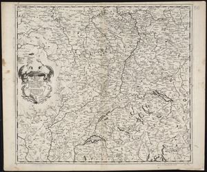
Exactissima Palatinatus Rheni ac Ducatus Bipontini tabula, qua tam omnes eorundem Balliviatus subjacentes, quam aliae ditiones...
7.
Palatinatus ad Rhenum
8.
Ducatus Meklenburgicus in quo sunt Ducatus Vandaliae et Meklenburgi Comitatus et Episcopatus Swerinensis Rostochiense et...
9.
Map of the Empire of Germany : including all the states comprehended under that name : with the Kingdom of Prussia, &c
10.
A mapp of the seat of the warrs in Germany and the Spanish Netherlands, for His Majesties own use
11.
A new map of Germanie
12.
A new map of the Baltick &c : shewing all the dominions about it with ye great or post roads and principal cross-roads
13.
A new mapp of the upper part of the Rhine containing all Switzerland the circle of Swabia Alsatia the Palatine of the Rhine...
14.
Quarta Europae tabula
15.
Quarta Europe tabula continet Germaniam
16.
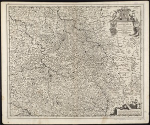
Regnum Bohemia, eique annexae provinciae, ut Ducatus Silesia, marchionatus Moravia, et Lusatia : quae sunt terrae Haereditariae...
17.
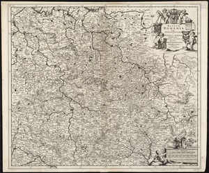
Regnum Bohemia, eique annexae provinciae ut Ducatus Silesia marchionatus Moravia, et Lusatia quae sunt terrae haereditariae...
18.
The seat of war on the Rhine being a new map of the course of that river from Basil to Bonn with the adjacent countries
19.
S.R.I. Sueviae Circulus atq[ue] Ducatus una cum insertis et adjacentibus Regionibus, accuratissime in earundem particulares...
20.
Ta. mo. Germa
‹ Prev
Next ›
1
2
3
4
5
…
408
409


![S.R.I. Sueviae Circulus atq[ue] Ducatus una cum insertis et adjacentibus Regionibus, accuratissime in earundem particulares provincias divisum](https://bpldcassets.blob.core.windows.net/derivatives/images/commonwealth:cj82kw70k/image_thumbnail_300.jpg)
