Toggle navigation
LMEC Home
Exhibitions
Georeferencing
Tools for Teachers
Collections
My Favorites
Sign Up / Log In
Search
Search the map portal
Map Collection
Map Collection
Map Sets
Search
Search
Search for
Search In
All Fields
Creator
Title
Subject
Place
Search All Digital Collections
Advanced Search
8162 Results
My Search
Start Over
More Like
commonwealth:cj82km67m
Remove constraint More Like: commonwealth:cj82km67m
Filter your Search
Place
North and Central America
4,911
United States
3,602
Suffolk (county)
1,026
Boston
999
Europe
963
Canada
427
France
269
Massachusetts
249
more
Place
»
Topic
Boston (Mass.)--Maps
574
United States--Maps
270
Real property--Massachusetts--Boston--Maps
174
Massachusetts--Maps
160
Landowners--Massachusetts--Boston--Maps
132
North America--Maps--Early works to 1800
103
New England--Maps
99
Europe--Maps
78
more
Topic
»
Date
Date range begin
–
Date range end
Current results range from
1482
to
2023
View distribution
Creator
United States. Hydrographic Office
357
O.H. Bailey & Co
148
Des Barres, Joseph F. W. (Joseph Frederick Wallet), 1722-1824
123
United States. Post Office Dept
119
Ptolemy, 2nd cent
100
Walling, Henry Francis, 1825-1888
94
Jefferys, Thomas, -1771
84
Geological Survey (U.S.)
82
more
Creator
»
Format
Maps/Atlases
8,103
Manuscripts
215
Prints
51
Books
36
Objects/Artifacts
10
Drawings/Illustrations
8
Posters
4
Georeferenced
Yes
868
No
7,294
Collection
Norman B. Leventhal Map Center Collection
8,162
Boston and New England Maps
2,184
Urban Maps
1,925
Maritime Charts and Atlases
750
American Revolutionary War-Era Maps
616
Boston Redevelopment Authority Collection
86
Available to use
No known restrictions
8,021
Creative Commons license
46
Search Constraints
Sort by relevance
relevance
title
date (asc)
date (desc)
Number of results to display per page
20 per page
10
per page
20
per page
50
per page
100
per page
View results as:
grid view
map view
Search Results
1.
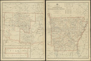
Post route map of the state of Arkansas and of Indian and Oklahoma territories showing post offices with the intermediate...
2.
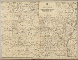
Post route map of the State of Arkansas and of Indian and Oklahoma territories with adjacent portions of Mississippi,...
3.
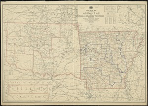
Post route map of the State of Arkansas and of Indian and Oklahoma territories with adjacent portions of Mississippi,...
4.
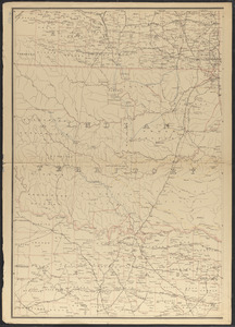
Indian Territory showing railroad systems - June 30, 1902
5.
Post route map of the state of Arkansas and of the Indian Territory, with adjacent portions of Mississippi, Tennessee,...
6.
Texas and Pacific Rail Way
7.
Indian Territory
8.
Indian Territory : progress of sub-division survey, June 30, 1902
9.
Indian Territory
10.
Indian Territory showing townsites approved to June 30-1902
11.
Indian Territory, with part of the adjoining state of Kansas, &c
12.
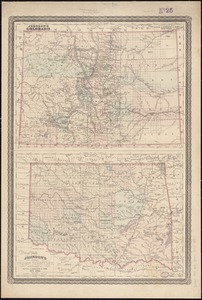
Johnson's Colorado ; Johnson's Indian Territory
13.
Map of Oklahoma Territory
14.
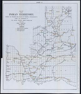
Map of the Indian Territory : showing the progress and status of townsite appraisements, under the supervision of the United...
15.
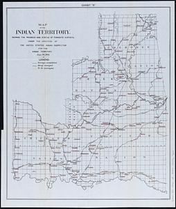
Map of the Indian Territory : showing the progress and status of townsite surveys, under the direction of the United States...
16.
Outline map of the lands known as Oklahoma, Indian Ter. opened to settlement by Executive Order March 23, 1889
17.
Geologic map of Oklahoma
18.
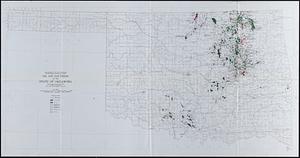
Oil and gas fields of the state of Oklahoma
19.
Oil and gas producing areas in Oklahoma
20.
Structure map of northeastern Oklahoma
‹ Prev
Next ›
1
2
3
4
5
…
408
409