Toggle navigation
LMEC Home
Collections
My Favorites
Exhibitions
Georeferencing
Tools for Teachers
Sign Up / Log In
Search
Search the map portal
Search
Search
Search for
Search in
All Fields
Title
Subject
Place
Creator
Search All Digital Collections
Advanced Search
8981 Results
Search Constraints
My Search
Start Over
More like
commonwealth:9s161j33v
Remove constraint More like: commonwealth:9s161j33v
Filter your Search
Show filters
Hide filters
Place
North and Central America
6,163
United States
5,067
Massachusetts
2,180
Europe
1,416
Suffolk (county)
1,081
Boston
1,050
Canada
461
Asia
446
more
Place
»
Topic
Boston (Mass.)--Maps
597
United States--Maps
294
Real property--Massachusetts--Boston--Maps
178
Massachusetts--Maps
172
Landowners--Massachusetts--Boston--Maps
136
New England--Maps
108
North America--Maps--Early works to 1800
103
Europe--Maps
81
more
Topic
»
Creator
United States. Hydrographic Office
597
O.H. Bailey & Co
148
Des Barres, Joseph F. W. (Joseph Frederick Wallet), 1722-1824
122
United States. Post Office Dept
120
Geological Survey (U.S.)
100
Ptolemy, 2nd cent
100
Walling, Henry Francis, 1825-1888
94
Jefferys, Thomas, -1771
85
more
Creator
»
Format
Maps/Atlases
8,916
Manuscripts
215
Prints
56
Books
39
Objects/Artifacts
13
Drawings/Illustrations
8
Posters
5
Ephemera
4
more
Format
»
Georeferenced
Yes
965
No
8,016
Collection
Norman B. Leventhal Map & Education Center Collection
8,981
Boston and New England Maps
2,355
Urban Maps
2,073
Maritime Charts and Atlases
1,083
American Revolutionary War-Era Maps
620
Boston Redevelopment Authority Collection
87
David Judkins Weaver Papers
10
Available to use
No known restrictions
8,826
Creative Commons license
60
Sort
by relevance
relevance
title
date (asc)
date (desc)
recently added
Number of results to display per page
10
per page
per page
10
per page
20
per page
50
per page
100
per page
Search Results
1.
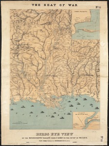
Birds eye view of the Mississippi Valley from Cairo to the Gulf of Mexico
2.
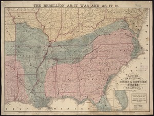
Lloyd's new military map of the border & southern states
3.
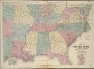
Map of the seat of war : to accompany the American Conflict
4.
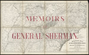
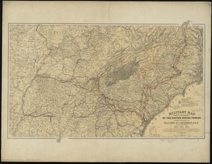
Military map showing the marches of the United States forces under command of Maj. Genl. W.T. Sherman, U.S.A. during the years...
5.
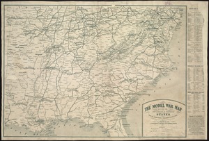
The model war map giving the southern & middle states, with all their water & railroad connections
6.
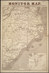
Monitor map, showing the whole seacoast from Chesapeake Bay, down to Savannah harbor, and the whole country between Richmond &...
7.
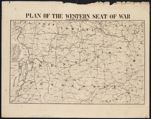
Plan of the western seat of war
8.
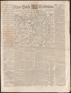
The locality of the great struggle
9.
Map of the Mississippi River, from Cairo to the Gulf of Mexico, showing the position of the rebel fortifications at the mouth...
10.
Military map showing the marches of the United States forces under command of Maj. Genl. W.T. Sherman, U.S.A., during the years...
« Previous
Next »
1
2
3
4
5
…
898
899