Search Constraints
Search Results

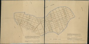
![[Plan of estates on Charles River bridge, Prince Street, Lynn Court, and Snow Hill Street]](https://bpldcassets.blob.core.windows.net/derivatives/images/commonwealth:x059c9615/image_thumbnail_300.jpg)

![[Plan of Tremont Street, from West to Boylston]](https://bpldcassets.blob.core.windows.net/derivatives/images/commonwealth:sn00b611k/image_thumbnail_300.jpg)
![[Plan of lots on O Street, South Boston]](https://bpldcassets.blob.core.windows.net/derivatives/images/commonwealth:79408310h/image_thumbnail_300.jpg)

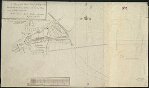
![[Plan for proposed Charles River Park]](https://bpldcassets.blob.core.windows.net/derivatives/images/commonwealth:cf95jc91c/image_thumbnail_300.jpg)
![[Plan of lots on Pine Street, Boston, between Washington and Front Streets]](https://bpldcassets.blob.core.windows.net/derivatives/images/commonwealth:9s161h488/image_thumbnail_300.jpg)
![[Plan of section of proposed Charles River Park]](https://bpldcassets.blob.core.windows.net/derivatives/images/commonwealth:x059cc51b/image_thumbnail_300.jpg)
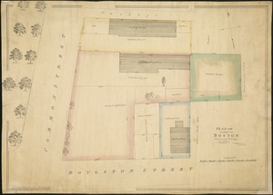
![[Plan of Tremont Street from Park to Boylston]](https://bpldcassets.blob.core.windows.net/derivatives/images/commonwealth:9s161b59r/image_thumbnail_300.jpg)


15. 1630 shoreline


21. 227 Harzgerode

22. 305 Glatz


24. 4 Kinten

![[A chart of Boston Bay and vicinity]](https://bpldcassets.blob.core.windows.net/derivatives/images/commonwealth:cj82m2976/image_thumbnail_300.jpg)


66. Adriatic


68. Aegyptus Antiqua


79. Africa


81. Africa

82. Africa

83. Africa

84. Africa

85. Africa

86. Africa


