Toggle navigation
LMEC Home
Collections
My Favorites
Exhibitions
Georeferencing
Tools for Teachers
Sign Up / Log In
Search
Search the map portal
Search
Search
Search for
Search in
All Fields
Title
Subject
Place
Creator
Search All Digital Collections
Advanced Search
9074 Results
Search Constraints
My Search
Start Over
More like
commonwealth:9s161f90v
Remove constraint More like: commonwealth:9s161f90v
Filter your Search
Show filters
Hide filters
Place
North and Central America
6,253
United States
5,156
Massachusetts
2,264
Europe
1,419
Suffolk (county)
1,163
Boston
1,132
Canada
463
Asia
446
more
Place
»
Topic
Boston (Mass.)--Maps
620
United States--Maps
301
Real property--Massachusetts--Boston--Maps
260
Landowners--Massachusetts--Boston--Maps
176
Massachusetts--Maps
173
City planning--Massachusetts--Boston--Maps
110
New England--Maps
109
North America--Maps--Early works to 1800
103
more
Topic
»
Creator
United States. Hydrographic Office
597
O.H. Bailey & Co
148
Des Barres, Joseph F. W. (Joseph Frederick Wallet), 1722-1824
122
United States. Post Office Dept
120
Boston Redevelopment Authority
111
Geological Survey (U.S.)
101
Ptolemy, 2nd cent
100
Walling, Henry Francis, 1825-1888
94
more
Creator
»
Format
Maps/Atlases
9,009
Manuscripts
215
Prints
56
Books
39
Objects/Artifacts
13
Drawings/Illustrations
8
Posters
5
Documents
4
more
Format
»
Georeferenced
Yes
974
No
8,100
Collection
Norman B. Leventhal Map & Education Center Collection
8,992
Boston and New England Maps
2,402
Urban Maps
2,118
Maritime Charts and Atlases
1,083
American Revolutionary War-Era Maps
622
Boston Redevelopment Authority Collection
130
Massachusetts Real Estate Atlases
37
Massachusetts Historical Society Map Collection
2
more
Collection
»
Available to use
No known restrictions
8,880
Creative Commons license
62
Sort
by relevance
relevance
title
date (asc)
date (desc)
recently added
Number of results to display per page
10
per page
per page
10
per page
20
per page
50
per page
100
per page
Search Results
8821.
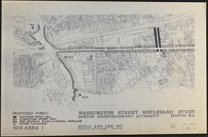
Washington Street boulevard study : proposed fabric
8822.
Washington Street corridor : South Cove to Forest Hills
8823.
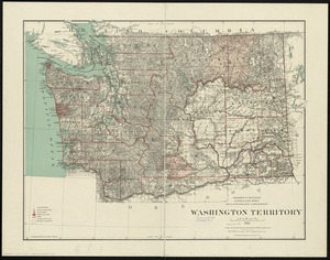
Washington Territory
8824.
Wastewater system map, Boston proper, sheet no. 23h
8825.
Water resources investigation study, Charles River Study, coordinate watershed plan, Charles River, Massachusetts
8826.
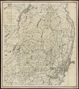
Water shed of the Passaic River
8827.
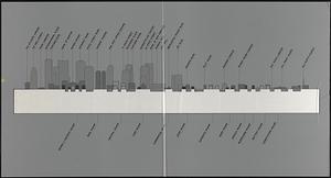
Waterfront skyline
8828.
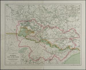
Watershed of the Lake of the Woods
8829.
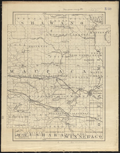
Waupaca County, Wis.
8830.
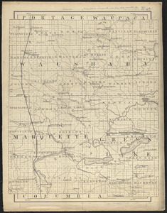
Waushara, Marquette, and Green Lake Counties, Wis.
« Previous
Next »
1
2
…
879
880
881
882
883
884
885
886
887
…
907
908