Toggle navigation
LMEC Home
Collections
My Favorites
Exhibitions
Georeferencing
Tools for Teachers
Sign Up / Log In
Search
Search the map portal
Search
Search
Search for
Search in
All Fields
Title
Subject
Place
Creator
Search All Digital Collections
Advanced Search
8982 Results
Search Constraints
My Search
Start Over
More like
commonwealth:9s161f90v
Remove constraint More like: commonwealth:9s161f90v
Filter your Search
Show filters
Hide filters
Place
North and Central America
6,167
United States
5,071
Massachusetts
2,243
Europe
1,415
Suffolk (county)
1,147
Boston
1,116
Canada
459
Asia
445
more
Place
»
Topic
Boston (Mass.)--Maps
620
United States--Maps
283
Real property--Massachusetts--Boston--Maps
255
Landowners--Massachusetts--Boston--Maps
172
Massachusetts--Maps
171
City planning--Massachusetts--Boston--Maps
109
New England--Maps
106
North America--Maps--Early works to 1800
103
more
Topic
»
Creator
United States. Hydrographic Office
596
O.H. Bailey & Co
148
Des Barres, Joseph F. W. (Joseph Frederick Wallet), 1722-1824
122
United States. Post Office Dept
120
Boston Redevelopment Authority
111
Ptolemy, 2nd cent
100
Geological Survey (U.S.)
99
Walling, Henry Francis, 1825-1888
94
more
Creator
»
Format
Maps/Atlases
8,919
Manuscripts
215
Prints
56
Books
39
Objects/Artifacts
11
Drawings/Illustrations
8
Posters
5
Georeferenced
Yes
974
No
8,008
Collection
Norman B. Leventhal Map & Education Center Collection
8,900
Boston and New England Maps
2,374
Urban Maps
2,086
Maritime Charts and Atlases
1,083
American Revolutionary War-Era Maps
622
Boston Redevelopment Authority Collection
130
Massachusetts Real Estate Atlases
37
Massachusetts Historical Society Map Collection
2
more
Collection
»
Available to use
No known restrictions
8,788
Creative Commons license
62
Sort
by relevance
relevance
title
date (asc)
date (desc)
recently added
Number of results to display per page
50
per page
per page
10
per page
20
per page
50
per page
100
per page
Search Results
8851.
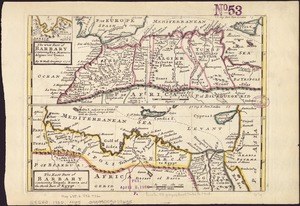
The west part of Barbary containing Fez, Marocco, Algiers and Tunis / : The east part of Barbary containing Tripoli, Barca and...
8852.
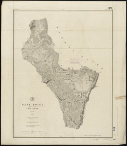
West Point, New York
8853.
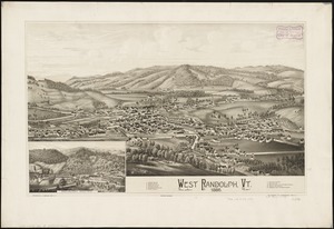
West Randolph, Vt : 1886
8854.
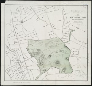
West Roxbury Park : West Roxbury district
8855.
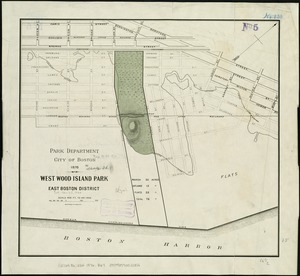
West Wood Island Park, East Boston district
8856.
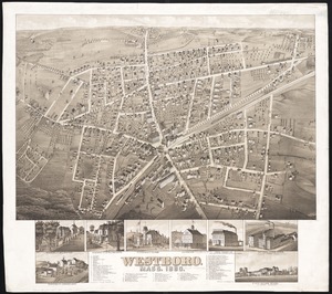
Westboro, Mass., 1880
8857.
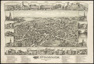
Westborough, Massachusetts, 1888
8858.
Western battle front showing the fighting fronts of the United States Army and her allies : from London, England to Basel,...
8859.
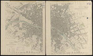
Western division of Paris, containing the quartiers; Eastern division of Paris, containing the quartiers
8860.
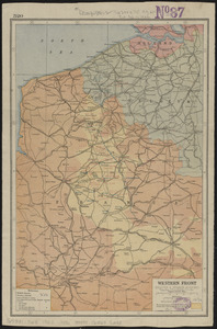
Western Front (British & German attacks)
8861.
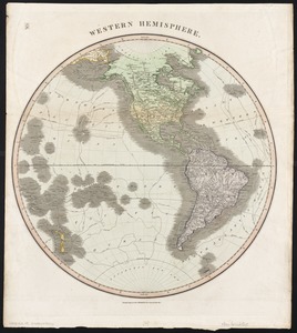
Western hemisphere
8862.
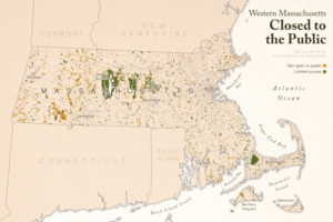
Western Massachusetts closed to the public
8863.
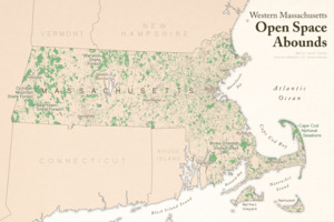
Western Massachusetts open space abounds
8864.
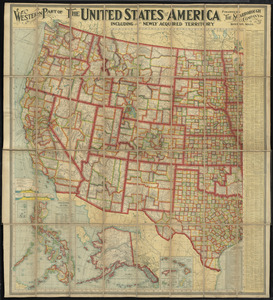
Western part of the United States of America including all its newly acquired territory
8865.
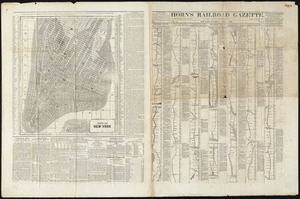
Western route, from Boston to Michigan, Ohio and Indiana ; Southern route, from Boston to Wilmington and Red Clay ; S. Western...
8866.
Western shore of the Caribbean Sea, the coast of Honduras from Negro Head to Turneff Cays
8867.
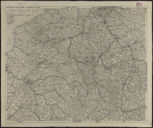
Western theatre-European war
8868.
Westfield
8869.
Westfield, Mass : 1875
8870.
Westford, Mass : 1886
8871.
West-Indies, n. coast of Haiti, from Monte Christi to Fort Dauphin Bay ; Fort Dauphin Bay : from a French Survey
8872.
West-Indies, special plans to chart no. 26c, Bahama Bank : from British surveys, corrected to 1872
8873.
West-Indies, special plans to chart no. 26c, Bahama Bank : from British surveys, corrected to 1872
8874.
West-Indies, special plans to charts no. 26b & c, Bahama Bank : from British surveys, corrected to 1872
8875.
Westindische Inseln
8876.
West-Indische paskaert : waer in de graden der breedde over weder zyden vande middellyn wassende soo vergroten dat die...
8877.
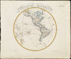
Westliche halbkugel
8878.
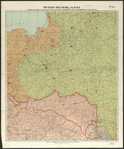
West-Russland angrenzende teile des Deutschen reiches und Österreich-Ungarn
8879.
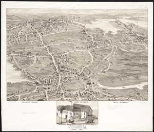
Weymouth, Mass., 1880
8880.
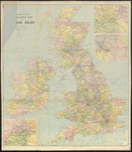
W.H. Smith & Son's new railway map of the British Isles
8881.
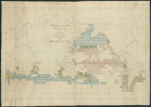
Whale chart
8882.
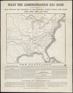
What the administration has done : map showing the progress of the national armies during the years 1861, 1862, 1863, and 1864
8883.
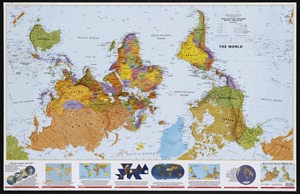
What's up? South! : world map
8884.
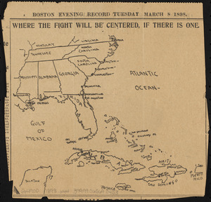
Where the fight will be centered, if there is one
8885.
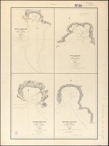
Whippy Harbour, south side of Viti Levu ; Suva Harbour, south side of Viti Levu ; Granby Harbour, south side of Viti Levu ;...
8886.
White Haven
8887.
White Islands Harbour : Port Stephen's ; Liscomb Harbour ; Houlton Harbour ; River St. Mary
8888.
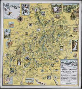
White Mountain National Forest : New Hampshire-Maine
8889.
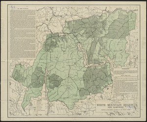
White Mountain region, New Hampshire : showing lands being acquired by the United States
8890.
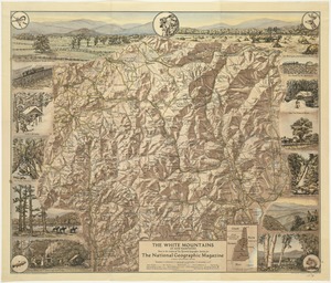
The White Mountains of New Hampshire
8891.
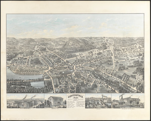
Whitinsville, Mass.
8892.
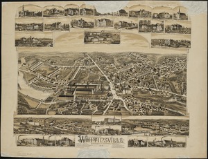
Whitinsville, Massachusetts : 1891
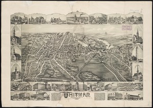
8893.
Whitman, Massachusetts : 1889
8894.
Whitman National Forest, Blue Mountains Division, Oregon
8895.
Whitman National Forest, Minam Division, Oregon
8896.
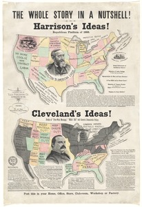
The whole story in a nutshell!
8897.
Wichita National Forest and Game Preserve, Oklahoma
8898.
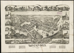
Wickford, Rhode Island : 1888
8899.
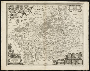
Wigorniensis comitatus cum Warwicensi, nec non Conventriae Libertas
8900.
Wilbraham
« Previous
Next »
1
2
…
174
175
176
177
178
179
180