Toggle navigation
LMEC Home
Exhibitions
Georeferencing
Tools for Teachers
Collections
My Favorites
Sign Up / Log In
Search
Search the map portal
Map Collection
Map Collection
Map Sets
Search
Search
Search for
Search In
All Fields
Creator
Title
Subject
Place
Search All Digital Collections
Advanced Search
1108 Results
My Search
Start Over
More Like
commonwealth:7h14cx41n
Remove constraint More Like: commonwealth:7h14cx41n
Filter your Search
Place
North and Central America
1,104
United States
1,099
Suffolk (county)
1,084
Boston
1,083
Massachusetts
780
Roxbury
60
South End
56
Fens
42
more
Place
»
Topic
Boston (Mass.)--Maps
752
City planning--Massachusetts--Boston--Maps
418
Urban renewal--Massachusetts--Boston--Maps
253
Real property--Massachusetts--Boston--Maps
136
Land use--Massachusetts--Boston--Maps
102
Buildings--Massachusetts--Boston--Maps
94
Landowners--Massachusetts--Boston--Maps
79
Roxbury (Boston, Mass.)--Maps
59
more
Topic
»
Date
Date range begin
–
Date range end
Current results range from
1743
to
2023
View distribution
Creator
Boston Redevelopment Authority
386
Geo. H. Walker & Co
27
Boynton, George W., d. 1884
21
Sampson, Davenport & Co
21
Sampson, Murdock & Co
20
Bromley, George Washington
18
Bromley, Walter Scott
17
Lufkin, Richard F. (Richard Friend)
17
more
Creator
»
Format
Maps/Atlases
1,107
Manuscripts
9
Drawings/Illustrations
3
Prints
1
Georeferenced
Yes
100
No
1,008
Collection
Boston and New England Maps
925
Urban Maps
824
Norman B. Leventhal Map & Education Center Collection
687
Boston Redevelopment Authority Collection
450
American Revolutionary War-Era Maps
25
Mapping Boston Collection
20
Massachusetts Real Estate Atlases
12
William L. Clements Library Collection
10
more
Collection
»
Available to use
No known restrictions
1,040
Creative Commons license
34
Search Constraints
Sort by relevance
relevance
title
date (asc)
date (desc)
Number of results to display per page
20 per page
10
per page
20
per page
50
per page
100
per page
View results as:
grid view
map view
Search Results
841.
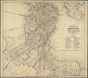
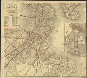
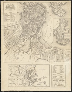
New map of Boston, comprising the whole city, with the new boundaries of the wards
842.
New map of Boston, comprising the whole city, with the new boundaries of the wards
843.
New map of Boston, comprising the whole city, with the new boundaries of the wards
844.
New map of Boston, comprising the whole city, with the new boundaries of the wards
845.
New map of Boston, comprising the whole city, with the new boundaries of the wards
846.
New map of Boston, comprising the whole city with the new boundariess of the wards
847.
New map of Boston from latest surveys
848.
New map of Boston giving all points of interest : with every railway & steamboat terminus, prominent hotels, theatres & public...
849.
New map of Boston giving all points of interest : with every railway & steamboat terminus, prominent hotels, theatres & public...
850.
New map of Boston giving all points of interest : with every railway & steamboat terminus, prominent hotels, theatres & public...
851.
New map of the central portion of Boston
852.
New map of the vicinity of Boston, with the dates of settlement and distance from the capital
853.
New map of the vicinity of Boston, with the dates of settlement and distance from the capital
854.
New map of the vicinity of Boston, with the dates of settlement, population in 1840, and distance from the capital
855.
A new plan of Boston : drawn from the best authorities with the latest improvements, additionas and corrections
856.
A new plan of ye great town of Boston in New England in America with the many additionall buildings & new streets to the year 1743
857.
Official map of Boston
858.
Old Boston, compiled from the Book of possessions
859.
One way streets, metered block faces, parking restriction areas and signal locations within the Boston regional core
860.
Outline and index map of city of Boston proper
‹ Prev
Next ›
1
2
…
39
40
41
42
43
44
45
46
47
…
55
56