Toggle navigation
LMEC Home
Collections
My Favorites
Exhibitions
Georeferencing
Tools for Teachers
Sign Up / Log In
Search
Search the map portal
Search
Search
Search for
Search in
All Fields
Title
Subject
Place
Creator
Search All Digital Collections
Advanced Search
1120 Results
Search Constraints
My Search
Start Over
More like
commonwealth:7h14cx35h
Remove constraint More like: commonwealth:7h14cx35h
Filter your Search
Show filters
Hide filters
Place
North and Central America
1,116
United States
1,116
Massachusetts
1,115
Suffolk (county)
1,093
Boston
1,092
Roxbury
59
South End
56
Fens
41
more
Place
»
Topic
Boston (Mass.)--Maps
768
City planning--Massachusetts--Boston--Maps
420
Urban renewal--Massachusetts--Boston--Maps
253
Real property--Massachusetts--Boston--Maps
139
Land use--Massachusetts--Boston--Maps
102
Buildings--Massachusetts--Boston--Maps
93
Landowners--Massachusetts--Boston--Maps
82
Roxbury (Boston, Mass.)--Maps
58
more
Topic
»
Creator
Boston Redevelopment Authority
385
Geo. H. Walker & Co
27
Boynton, George W., d. 1884
21
Sampson, Davenport & Co
21
Sampson, Murdock & Co
20
Bromley, George Washington
18
Lufkin, Richard F. (Richard Friend)
18
Bromley, Walter Scott
17
more
Creator
»
Format
Maps/Atlases
1,119
Manuscripts
9
Drawings/Illustrations
3
Prints
1
Georeferenced
Yes
208
No
912
Collection
Boston and New England Maps
934
Urban Maps
825
Norman B. Leventhal Map & Education Center Collection
694
Boston Redevelopment Authority Collection
447
American Revolutionary War-Era Maps
31
Mapping Boston Collection
20
Massachusetts Real Estate Atlases
12
William L. Clements Library Collection
10
more
Collection
»
Available to use
No known restrictions
1,045
Creative Commons license
38
Sort
by relevance
relevance
title
date (asc)
date (desc)
recently added
Number of results to display per page
50
per page
per page
10
per page
20
per page
50
per page
100
per page
Search Results
101.
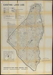
Washington Park urban renewal area : existing land use
102.
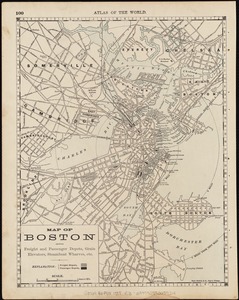
Map of Boston : showing freight and passenger depots, grain elevators, steamboat wharves, etc
103.
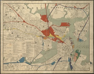
Map showing the terminal facilities of Boston
104.
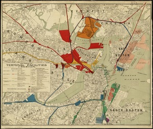
Map showing the terminal facilities of Boston
105.
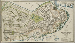
Plan of Boston proper : showing changes in street and wharf lines, 1795 to 1895
106.
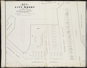
Plan of City Wharf in Boston, Mass : shewing 14 lots of land on the side of the south dock of said wharf & Commercial St. : to...
107.
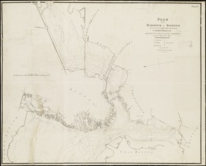
Plan of the harbour of Boston, from surveys made under the direction of commissioners appointed by a resolve of the...
108.
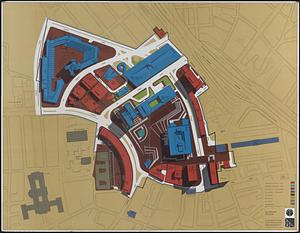
Illustrative site plan : Government Center urban renewal area, Massachusetts R-35
109.
Illustrative site plan : Washington Park urban renewal area, Massachusetts R-24
110.
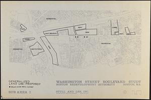
Washington Street boulevard study : generalized land use - proposed
111.
Boston University, Charles River campus master plan
112.
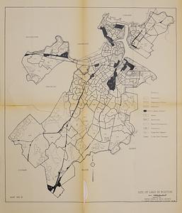
Use of land in Boston
113.
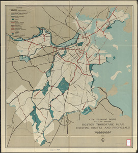
Boston thorofare plan existing routes and proposals
114.
Campus High School urban renewal area Mass. r- : locality map blighted areas
115.
Campus High School urban renewal area Mass. r- : locality map important features
116.
Central business district project no Mass r- : locality map 1
117.
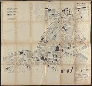
Central business district project no Mass r- : existing building condition
118.
Central business district urban renewal area Massachusetts r-82 : disposition parcels
119.
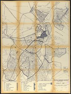
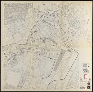
Central business district urban renewal area Massachusetts r-82 : property map
120.
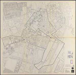
Central business district urban renewal area Massachusetts r-82 : zoning
121.
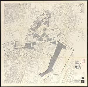
Central business district urban renewal area Massachusetts r-82 : acquisition plan
122.
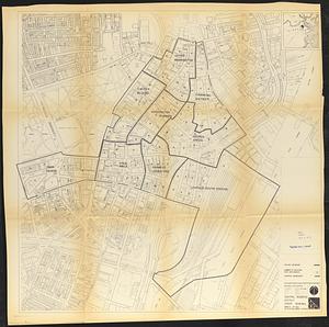
Central business district urban renewal area Massachusetts r-82 : zoning plan
123.
Central business district urban renewal area Massachusetts r-82 : pedestrian circulation
124.
Central business district urban renewal area Massachusetts r-82 : street adjustments
125.
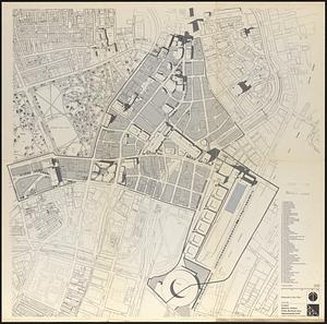
Central business district urban renewal area Massachusetts r-82 : illustrative site plan
126.
Central business district urban renewal area Massachusetts r-82 : vehicular circulation
127.
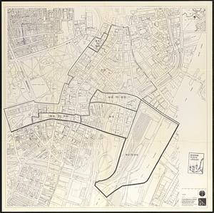
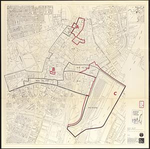
Central business district urban renewal area Massachusetts r-82 A,B,C : zoning
128.
Central business district urban renewal area r-82 : building deficiencies
129.
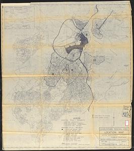
Charlestown renewal area : location map
130.
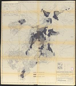
Charlestown renewal area : blighted areas
131.
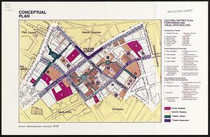
Conceptual plan
132.
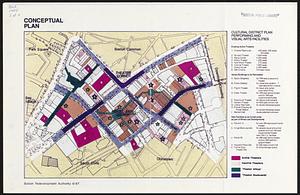
Conceptual plan
133.
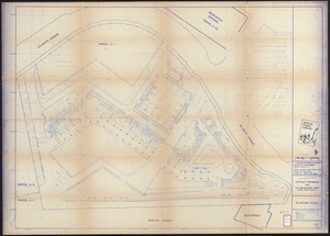
Contract documents for the Waterfront Park, Boston, Massachusetts : planting plan
134.
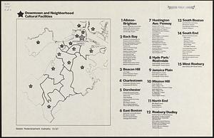
Downtown and neighborhood cultural facilities
135.
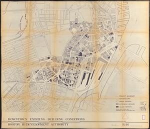
Downtown existing buildings conditions
136.
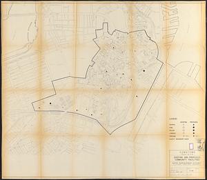
Downtown project no. Mass. r-46 : existing and proposed community facilities
137.
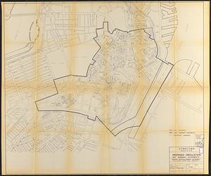
Downtown project no. Mass. r-46 : proposed circulation and boundary adjustments
138.
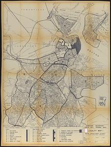
Downtown Waterfront Faneuil Hall renewal area : locality map 1
139.
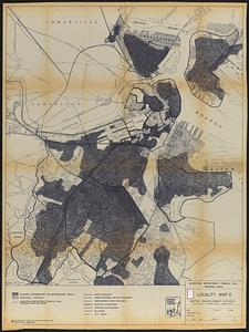
Downtown Waterfront-Faneuil Hall renewal area : locality map 2
140.
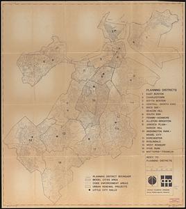
Index to planning districts
141.
Inner belt, Southwest Expressway
142.
Locality map
143.
Marketplace Center : topographical survey plan
144.
Mass pike air rights study
145.
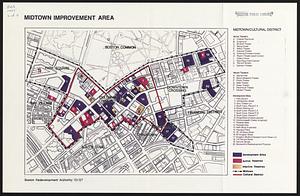
Midtown improvement area
146.
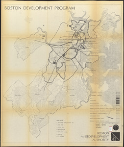
NASA Electronic Research Center : evaluation of proposed sites in Boston
147.
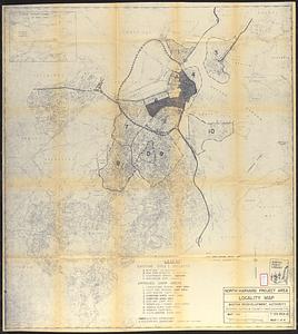
North Harvard project area : locality map
148.
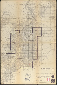
Open space management program index map
149.
Parcel D-10
150.
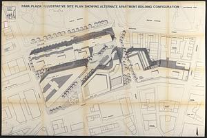
Park Plaza : illustrative site plan showing alternate apartment building configuration
« Previous
Next »
1
2
3
4
5
6
7
…
22
23