Toggle navigation
LMEC Home
Collections
My Favorites
Exhibitions
Georeferencing
Tools for Teachers
Sign Up / Log In
Search
Search the map portal
Search
Search
Search for
Search in
All Fields
Title
Subject
Place
Creator
Search All Digital Collections
Advanced Search
482 Results
Search Constraints
My Search
Start Over
More like
commonwealth:7h14cw872
Remove constraint More like: commonwealth:7h14cw872
Filter your Search
Show filters
Hide filters
Place
Massachusetts
479
North and Central America
479
United States
479
Suffolk (county)
469
Boston
468
South End
50
Roxbury
47
Fens
42
more
Place
»
Topic
City planning--Massachusetts--Boston--Maps
422
Urban renewal--Massachusetts--Boston--Maps
253
Boston (Mass.)--Maps
132
Land use--Massachusetts--Boston--Maps
101
Buildings--Massachusetts--Boston--Maps
80
Real property--Massachusetts--Boston--Maps
54
Fenway (Boston, Mass.)--Maps
43
Roxbury (Boston, Mass.)--Maps
43
more
Topic
»
Creator
Boston Redevelopment Authority
368
Downtown Waterfront Corporation
10
Victor Gruen Associates
10
Boston (Mass.). Parks and Recreation Department
8
Boston Zoning Commission
6
Sasaki Associates
6
Boston (Mass.). City Planning Board
5
Boston (Mass.). Department of Parks
5
more
Creator
»
Format
Maps/Atlases
481
Drawings/Illustrations
3
Manuscripts
2
Prints
1
Georeferenced
Yes
58
No
424
Collection
Boston and New England Maps
475
Urban Maps
460
Boston Redevelopment Authority Collection
438
Norman B. Leventhal Map & Education Center Collection
96
Dana F. Perkins, Inc. Surveying Records
3
Available to use
No known restrictions
480
Creative Commons license
1
Sort
by relevance
relevance
title
date (asc)
date (desc)
recently added
Number of results to display per page
50
per page
per page
10
per page
20
per page
50
per page
100
per page
Search Results
151.
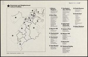
Downtown and neighborhood cultural facilities
152.
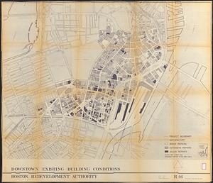
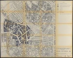
Downtown existing buildings conditions
153.
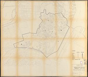
Downtown project no. Mass. r-46 : existing and proposed community facilities
154.
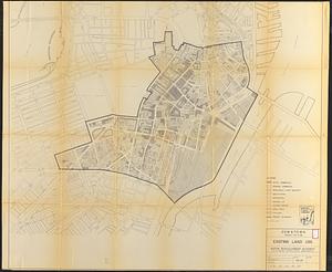
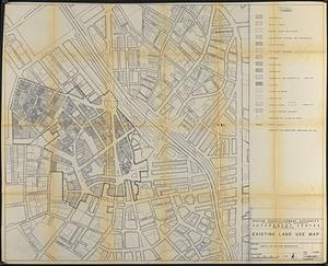
Downtown project no. Mass. r-46 : existing land use
155.
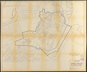
Downtown project no. Mass. r-46 : proposed circulation and boundary adjustments
156.
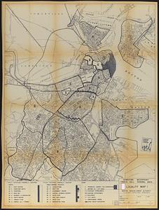
Downtown Waterfront Faneuil Hall renewal area : locality map 1
157.
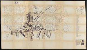
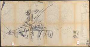
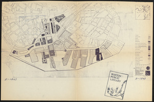
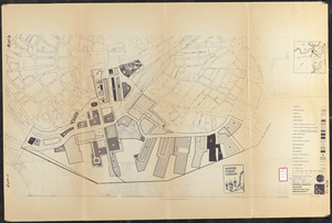
Downtown waterfront-Faneuil Hall project urban renewal area Massachusetts R-77 : illustrative site plan
158.
Downtown waterfront-Faneuil Hall project urban renewal area Massachusetts R-77 : illustrative site plan
159.
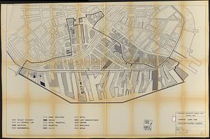
Downtown Waterfront-Faneuil Hall renewal area : existing land use
160.
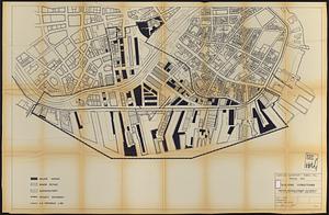
Downtown Waterfront-Faneuil Hall renewal area : building conditions
161.
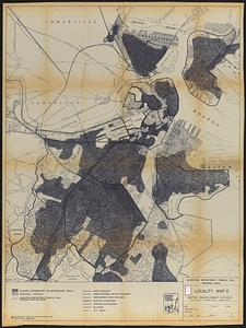
Downtown Waterfront-Faneuil Hall renewal area : locality map 2
162.
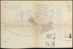
Downtown waterfront-Faneuil Hall urban area Massachusetts R-77 : existing and proposed zoning
163.
Downtown waterfront-Faneuil Hall urban area Massachusetts R-77 : proposed land use
164.
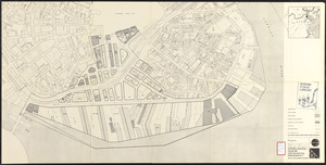
Downtown waterfront-Faneuil Hall urban renewal area Massachusetts R-77 : proposed land use
165.
Downtown waterfront-Faneuil Hall urban renewal area Massachusetts R-77 : street adjustments
166.
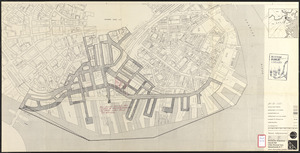
Downtown waterfront-Faneuil Hall urban renewal area Massachusetts R-77 : property
167.
Downtown waterfront-Faneuil Hall urban renewal area Massachusetts R-77 : proposed land use
168.
Downtown waterfront-Faneuil Hall urban renewal area Massachusetts R-77 : proposed land use
169.
Downtown waterfront-Faneuil Hall urban renewal area Massachusetts R-77 : property
170.
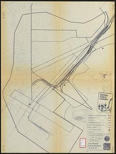
East Boston urban renewal area r-44 : existing circulation
171.
East Boston urban renewal area r-44 : proposed circulation
172.
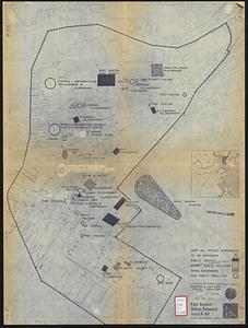
East Boston urban renewal area r-44 : existing & proposed public facilities
173.
East Boston urban renewal area r-44 : proposed land use
174.
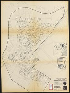
East Boston urban renewal area r-44 : existing population density
175.
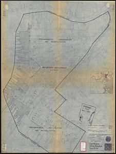
East Boston urban renewal area r-44 : proposed treatment title I project
176.
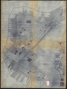
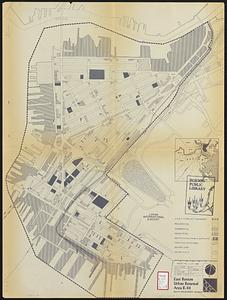
East Boston urban renewal area r-44 : existing land use
177.
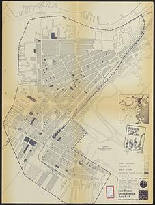
East Boston urban renewal area r-44 : building conditions
178.
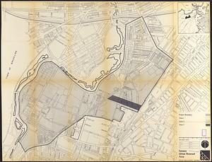
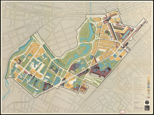
Fenway urban renewal area : building conditions
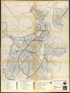
179.
Fenway urban renewal area : treatment areas
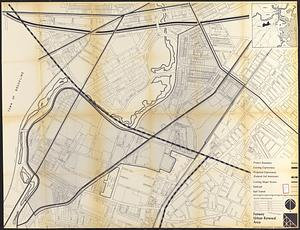
180.
Fenway urban renewal area : major thoroughfares
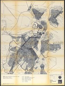
181.
Fenway urban renewal area : blighted areas
182.
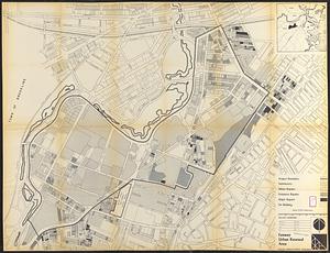
Fenway urban renewal area : locality map
183.
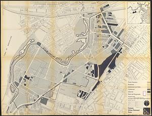
Fenway urban renewal area : existing land use
184.
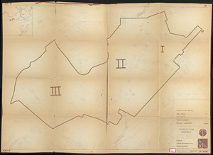
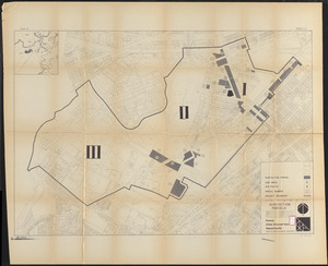
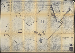
Fenway urban renewal area Massachusetts : disposition parcels
185.
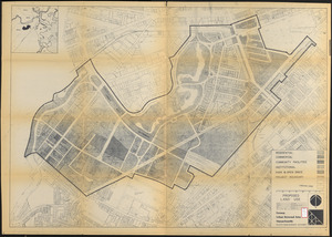
Fenway urban renewal area Massachusetts : proposed land use
186.
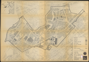
Fenway urban renewal area Massachusetts : existing land use
187.
Fenway urban renewal area Massachusetts : disposition parcels
188.
Fenway urban renewal area Massachusetts : disposition parcels
189.
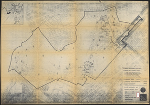
Fenway urban renewal area Massachusetts : building deficiences and proposed treatment area
190.
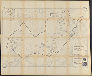
Fenway urban renewal area Massachusetts : property map
191.
Fenway urban renewal area, Massachusetts R-115 : illustrative site plan
192.
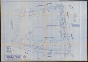
FPIR/FEIR Olmsted Plaza : a redevelopment of the Sears property, 309 Park Drive/201 Brookline Avenue in the Fenway
193.
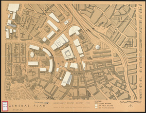
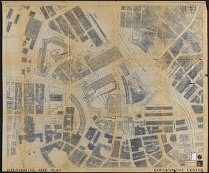
General plan : Government Center - Boston - 1959
194.
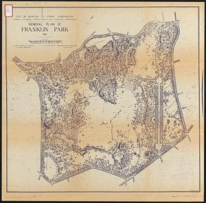
General plan of Franklin Park
195.
Government Center parcel 8 office tower competition program
196.
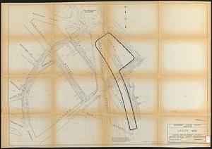
Government Center project Mass. r-35 : utility map
197.
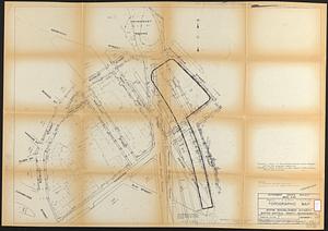
Government Center project Mass. r-35 : parcel 7 & subway structure topographic map
198.
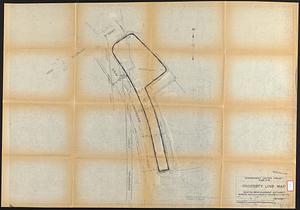
Government Center project Mass. r-35 : property line map
199.
Government Center project no. Mass. r-35 : existing land use map
200.
Government Center project no. Mass. r-35 : building deficiencies map
« Previous
Next »
1
2
3
4
5
6
7
8
9
10