Toggle navigation
LMEC Home
Collections
My Favorites
Exhibitions
Georeferencing
Tools for Teachers
Sign Up / Log In
Search
Search the map portal
Search
Search
Search for
Search in
All Fields
Title
Subject
Place
Creator
Search All Digital Collections
Advanced Search
480 Results
Search Constraints
My Search
Start Over
More like
commonwealth:7h14cw872
Remove constraint More like: commonwealth:7h14cw872
Filter your Search
Show filters
Hide filters
Place
Massachusetts
477
North and Central America
477
United States
477
Suffolk (county)
467
Boston
466
South End
50
Roxbury
47
Downtown Boston
40
more
Place
»
Topic
City planning--Massachusetts--Boston--Maps
420
Urban renewal--Massachusetts--Boston--Maps
253
Boston (Mass.)--Maps
132
Land use--Massachusetts--Boston--Maps
101
Buildings--Massachusetts--Boston--Maps
80
Real property--Massachusetts--Boston--Maps
52
Roxbury (Boston, Mass.)--Maps
43
South End (Boston, Mass.)--Maps
43
more
Topic
»
Creator
Boston Redevelopment Authority
368
Downtown Waterfront Corporation
10
Victor Gruen Associates
10
Boston (Mass.). Parks and Recreation Department
8
Boston Zoning Commission
6
Sasaki Associates
6
Boston (Mass.). City Planning Board
5
Boston (Mass.). Department of Parks
5
more
Creator
»
Format
Maps/Atlases
479
Drawings/Illustrations
3
Manuscripts
2
Prints
1
Georeferenced
Yes
58
No
422
Collection
Boston and New England Maps
473
Urban Maps
458
Boston Redevelopment Authority Collection
438
Norman B. Leventhal Map & Education Center Collection
94
Dana F. Perkins, Inc. Surveying Records
1
Available to use
No known restrictions
478
Creative Commons license
1
Sort
by date (asc)
relevance
title
date (asc)
date (desc)
recently added
Number of results to display per page
20
per page
per page
10
per page
20
per page
50
per page
100
per page
Search Results
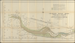
21.
Charles River Basin contour map of upper basin from surveys and soundings
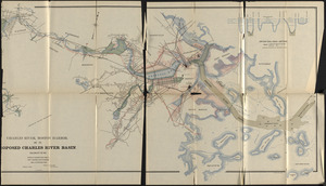
22.
Charles River, Boston Harbor, and the proposed Charles River basin : prepared to accompany report made to Henry L. Higginson,...
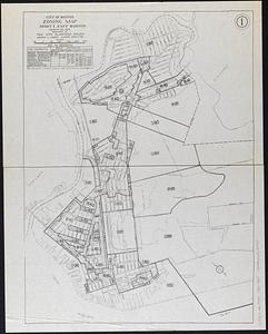
23.
City of Boston zoning map
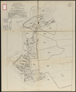
24.
City of Boston zoning map
25.
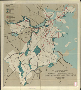
Boston thorofare plan existing routes and proposals
26.
Rose garden in Fens-Back Bay
27.
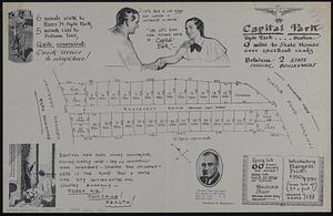
Capital Park : Hyde Park ... Boston
28.
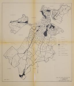
Use of land in Boston
29.
Index map of watersheds showing sanitary districts and bacteriological sampling stations
30.
The world according to Standard (N.J.)
31.
Storrow Memorial Embankment : plan of additions and changes under the requirements of Chapter 262, Acts of 1949
32.
Development of the Calfpasture, Boston, Massachusetts
33.
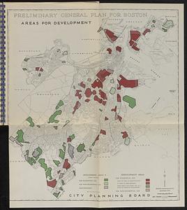
Maps from General plan for Boston : preliminary report, December, 1950
34.
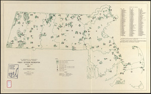
Public outdoor recreation master plan
35.
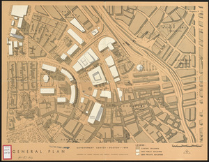
General plan : Government Center - Boston - 1959
36.
Land ownership maps for land in the Government Center urban renewal project area
37.
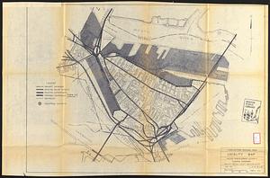
Charlestown renewal area : locality map
38.
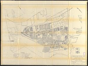
Charlestown renewal area : existing conditions & proposed treatment areas
39.
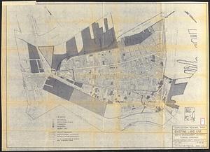
Charlestown renewal area : existing land use
40.
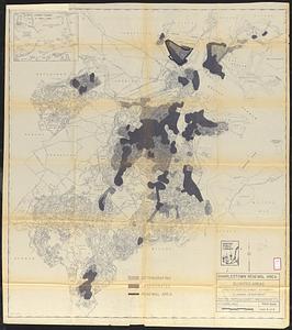
Charlestown renewal area : blighted areas
« Previous
Next »
1
2
3
4
5
6
…
23
24