Toggle navigation
LMEC Home
Collections
My Favorites
Exhibitions
Georeferencing
Tools for Teachers
Sign Up / Log In
Search
Search the map portal
Search
Search
Search for
Search in
All Fields
Title
Subject
Place
Creator
Search All Digital Collections
Advanced Search
488 Results
Search Constraints
My Search
Start Over
More like
commonwealth:7h14cv239
Remove constraint More like: commonwealth:7h14cv239
Filter your Search
Show filters
Hide filters
Place
Massachusetts
485
North and Central America
485
United States
485
Suffolk (county)
474
Boston
473
Roxbury
54
Fens
53
South End
49
more
Place
»
Topic
City planning--Massachusetts--Boston--Maps
422
Urban renewal--Massachusetts--Boston--Maps
253
Boston (Mass.)--Maps
125
Land use--Massachusetts--Boston--Maps
102
Buildings--Massachusetts--Boston--Maps
81
Real property--Massachusetts--Boston--Maps
58
Fenway (Boston, Mass.)--Maps
57
Roxbury (Boston, Mass.)--Maps
50
more
Topic
»
Creator
Boston Redevelopment Authority
368
Downtown Waterfront Corporation
10
Victor Gruen Associates
10
Boston (Mass.). Parks and Recreation Department
9
Sasaki Associates
6
Boston (Mass.). Department of Parks
5
Boston (Mass.). Water and Sewer Commission
5
Charles A. Maguire and Associates
5
more
Creator
»
Format
Maps/Atlases
487
Drawings/Illustrations
3
Manuscripts
1
Prints
1
Georeferenced
Yes
61
No
427
Collection
Boston and New England Maps
479
Urban Maps
461
Boston Redevelopment Authority Collection
441
Norman B. Leventhal Map & Education Center Collection
102
Dana F. Perkins, Inc. Surveying Records
3
Applied Geographics, Inc. Records
1
Available to use
No known restrictions
487
Sort
by date (asc)
relevance
title
date (asc)
date (desc)
recently added
Number of results to display per page
20
per page
per page
10
per page
20
per page
50
per page
100
per page
Search Results
1.
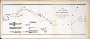
Plan of the route of pipes from Jamaica Pond, in Roxbury to the reservoir, in Boston
2.
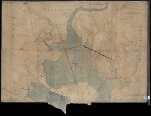
[Mill dam survey : Boston, Roxbury, Brookline &c.]
3.
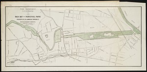
Back Bay and Parker Hill parks : Parker Hill and Jamaica parkways : Boston and Roxbury districts
4.
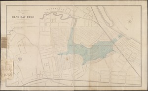
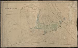
Back Bay park
5.
Back Bay park
6.
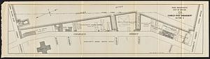
Charles River embankment, section A
7.
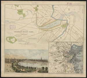
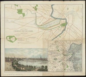
Proposed Charles River Park
8.
Proposed Charles River Park
9.
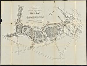
Proposed improvement of Back Bay
10.
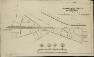
Study of plan for the extension of Commonwealth Avenue on the line of Beacon Street
11.
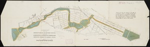
Suggestion for the improvement of Muddy River and for completing a continuous promenade from the Common to Jamaica Pond
12.
Plan no. 2 : [West Chester Park]
13.
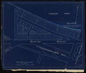
Lots at Beacon Street and Commonwealth Ave., Boston, Mass. : plan no. 9
14.
Atlas of the city of Boston : Roxbury : volume two : from actual surveys and official records
15.
Plan of region west of Back Bay Park, Boston, Mass. : proposed improvements
16.
Atlas of the city of Boston : Roxbury, Mass. : volume three : from actual surveys and official records
17.
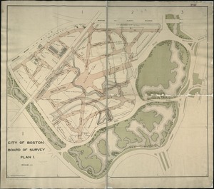
Plan 1
18.
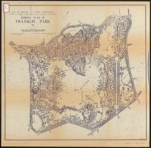
General plan of Franklin Park
19.
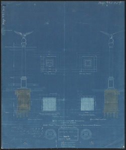
New public library building, Boston, Mass. : 1/4 inch scale drawing for foundations of columns at Dartmouth Street entrance
20.
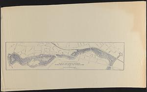
Plan of the parkway between Muddy River gate house and Jamaica Park 1892
« Previous
Next »
1
2
3
4
5
…
24
25