Search Constraints
Search Results

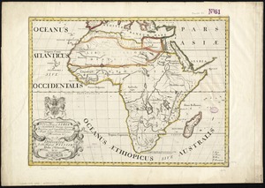
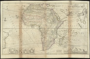
1. Africa


7. L'Afrique

8. Afrique

11. Karte Von Africa
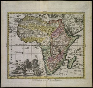
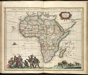
18. Nova Africa


25. 1630 shoreline


31. 227 Harzgerode

32. 305 Glatz


34. 4 Kinten

![[A chart of Boston Bay and vicinity]](https://bpldcassets.blob.core.windows.net/derivatives/images/commonwealth:cj82m2976/image_thumbnail_300.jpg)


76. Adriatic


78. Aegyptus Antiqua


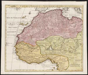
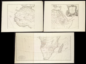
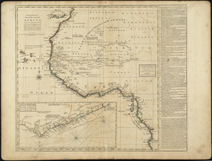
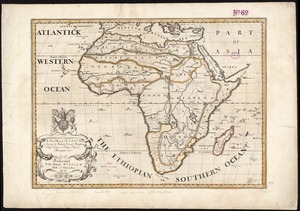
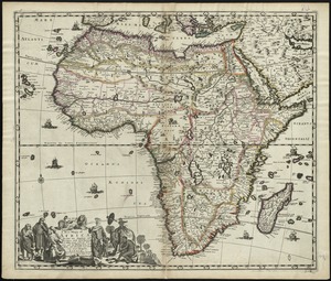
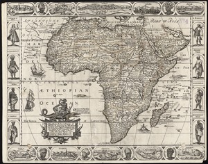
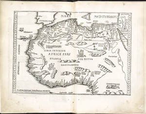
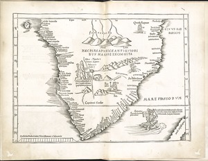
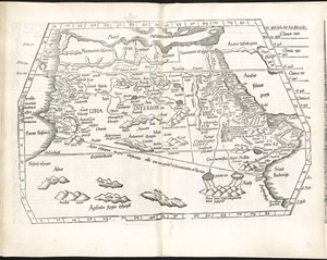
89. Africa


91. Africa

92. Africa

93. Africa

94. Africa

95. Africa


