Search Constraints
Search Results


![A map of West Florida and part of Et: Florida, Georgia part of So: Carolina i[n]cluding [torn] & Chactaw, Chickasaw & Creek nations with [torn] [r]oad [torn] Pensacola through ye: Creek nation to Augusitus & Charlestown](https://bpldcassets.blob.core.windows.net/derivatives/metadata/commonwealth-oai:v98001375/image_thumbnail_300.jpg)


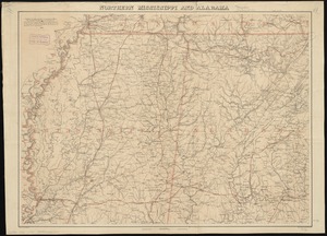
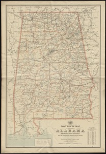
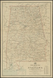
14. Alabama


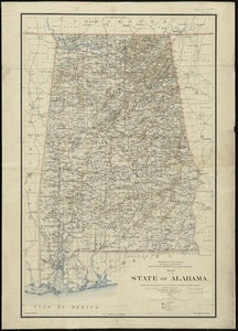


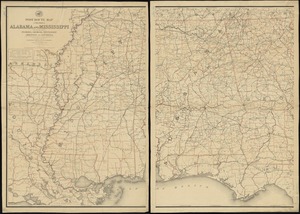
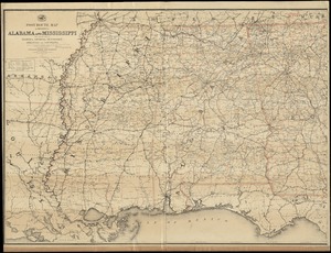
24. State of Alabama


32. Baton Rouge

33. Breton Sound


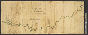
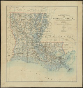
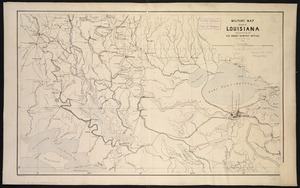
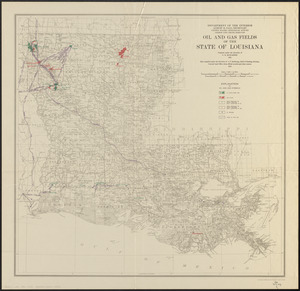
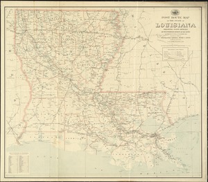
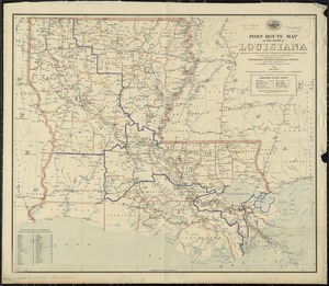
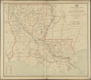
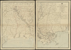
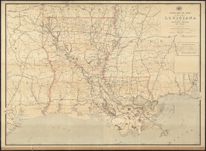
39. Louisiana


46. New Orleans
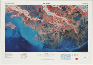
47. New Orleans


62. 1630 shoreline


68. 227 Harzgerode

69. 305 Glatz


![[A chart of Boston Bay and vicinity]](https://bpldcassets.blob.core.windows.net/derivatives/images/commonwealth:cj82m2976/image_thumbnail_300.jpg)


