Toggle navigation
LMEC Home
Exhibitions
Georeferencing
Tools for Teachers
Collections
My Favorites
Sign Up / Log In
Search
Search the map portal
Map Collection
Map Collection
Map Sets
Search
Search
Search for
Search In
All Fields
Creator
Title
Subject
Place
Search All Digital Collections
Advanced Search
8164 Results
My Search
Start Over
More Like
commonwealth:7h149z51r
Remove constraint More Like: commonwealth:7h149z51r
Filter your Search
Place
North and Central America
4,913
United States
3,604
Suffolk (county)
1,026
Boston
999
Europe
963
Canada
428
France
269
Massachusetts
249
more
Place
»
Topic
Boston (Mass.)--Maps
574
United States--Maps
270
Real property--Massachusetts--Boston--Maps
174
Massachusetts--Maps
160
Landowners--Massachusetts--Boston--Maps
132
North America--Maps--Early works to 1800
103
New England--Maps
99
Europe--Maps
78
more
Topic
»
Date
Date range begin
–
Date range end
Current results range from
1482
to
2023
View distribution
Creator
United States. Hydrographic Office
357
O.H. Bailey & Co
148
Des Barres, Joseph F. W. (Joseph Frederick Wallet), 1722-1824
123
United States. Post Office Dept
120
Ptolemy, 2nd cent
100
Walling, Henry Francis, 1825-1888
94
Jefferys, Thomas, -1771
84
Geological Survey (U.S.)
82
more
Creator
»
Format
Maps/Atlases
8,105
Manuscripts
215
Prints
51
Books
36
Objects/Artifacts
10
Drawings/Illustrations
8
Posters
4
Georeferenced
Yes
869
No
7,295
Collection
Norman B. Leventhal Map Center Collection
8,164
Boston and New England Maps
2,183
Urban Maps
1,925
Maritime Charts and Atlases
750
American Revolutionary War-Era Maps
616
Boston Redevelopment Authority Collection
86
Available to use
No known restrictions
8,023
Creative Commons license
46
Search Constraints
Sort by relevance
relevance
title
date (asc)
date (desc)
Number of results to display per page
20 per page
10
per page
20
per page
50
per page
100
per page
View results as:
grid view
map view
Search Results
1.
Map of the disputed territory,with a full description
2.
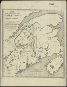
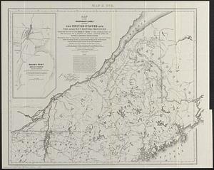
Map of the northern part of the state of Maine and of the adjacent British provinces : shewing the portion of that state to...
3.
A plan of the rivers Scoodic and Magaguadavic with their principal branches including the Bay of Passamaquoddy and the adjacent...
4.
Detroit 1820
5.
The fifteenth section no. I. Lake Huron 1820 & 1822
6.
Iroquois or St. Lawrence
7.
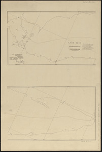
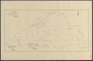
Lake Erie
8.
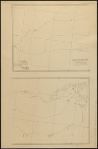
Lake Ontario
9.
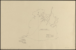
Lake St. Clair
10.
Lake Superior
11.
Map of the boundary lines between the United States and the adjacent British provinces from the mouth of the River St. Croix to...
12.
Map of the disputed territory [Maine] : reduced from the original of Messrs. Featherstonehaugh & Mudge, British commissioners
13.
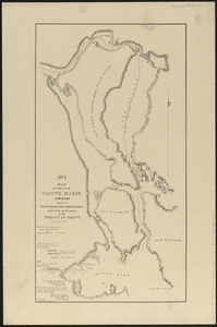
Map of the river Sainte Mary surveyed by order of the honorable the Commissioners under the 6th and 7th articles of the Treaty...
14.
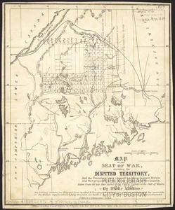
Map of the seat of war, showing disputed territory, and the boundary lines claimed by Maine & Great Britain and that proposed...
15.
Map of the state of Maine : exhibiting the disputed territory in connexion with the adjacent British provinces of N. Brunswick...
16.
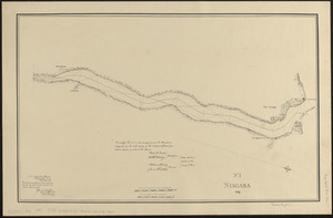
Niagara 1819
17.
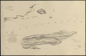
No. 3 Map of Isle Royale in Lake Superior with the adjacent shores and islands surveyed by order of the honorable the...
18.
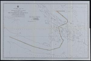
North America--west coast, Strait of Juan de Fuca and the channels between the continent & Vancouver Id. showing the boundary...
19.
Northwestern part of Lake Huron
20.
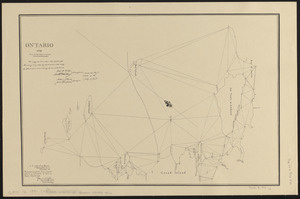
Ontario 1819
‹ Prev
Next ›
1
2
3
4
5
…
408
409


![Map of the disputed territory [Maine]](https://bpldcassets.blob.core.windows.net/derivatives/images/commonwealth:7h14b025h/image_thumbnail_300.jpg)