Search Constraints
Search Results


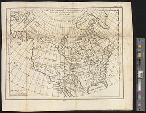
30. Nord America

31. Nord-America

32. Nord-Amerika


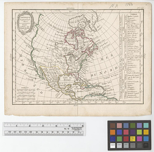
34. North America

35. North America

36. North America

37. North America


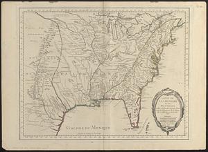
![[Map of Spanish Louisiana and the American colonies]](https://bpldcassets.blob.core.windows.net/derivatives/images/commonwealth:z603vq85r/image_thumbnail_300.jpg)
![[Map of Spanish Louisiana and the American colonies]](https://bpldcassets.blob.core.windows.net/derivatives/images/commonwealth:z603vp210/image_thumbnail_300.jpg)


65. N. America


70. North America


73. North America

74. North America


78. Nth. America


84. 1630 shoreline


90. 227 Harzgerode

91. 305 Glatz


![[A chart of Boston Bay and vicinity]](https://bpldcassets.blob.core.windows.net/derivatives/images/commonwealth:cj82m2976/image_thumbnail_300.jpg)


