Toggle navigation
LMEC Home
Exhibitions
Georeferencing
Tools for Teachers
Collections
My Favorites
Sign Up / Log In
Search
Search the map portal
Map Collection
Map Collection
Map Sets
Search
Search
Search for
Search In
All Fields
Creator
Title
Subject
Place
Search All Digital Collections
Advanced Search
9052 Results
My Search
Start Over
More Like
commonwealth:7d27c9549
Remove constraint More Like: commonwealth:7d27c9549
Filter your Search
Place
North and Central America
6,283
United States
5,201
Massachusetts
2,155
Suffolk (county)
1,403
Europe
1,396
Boston
1,376
Canada
449
Asia
438
more
Place
»
Topic
Boston (Mass.)--Maps
677
City planning--Massachusetts--Boston--Maps
418
United States--Maps
282
Urban renewal--Massachusetts--Boston--Maps
252
Real property--Massachusetts--Boston--Maps
217
Massachusetts--Maps
162
Landowners--Massachusetts--Boston--Maps
136
North America--Maps--Early works to 1800
103
more
Topic
»
Date
Date range begin
–
Date range end
Current results range from
1482
to
2023
View distribution
Creator
United States. Hydrographic Office
595
Boston Redevelopment Authority
390
O.H. Bailey & Co
148
Des Barres, Joseph F. W. (Joseph Frederick Wallet), 1722-1824
123
United States. Post Office Dept
120
Ptolemy, 2nd cent
100
Walling, Henry Francis, 1825-1888
94
Geological Survey (U.S.)
86
more
Creator
»
Format
Maps/Atlases
8,991
Manuscripts
215
Prints
56
Books
36
Objects/Artifacts
10
Drawings/Illustrations
9
Posters
5
Georeferenced
Yes
870
No
8,182
Collection
Norman B. Leventhal Map & Education Center Collection
8,696
Boston and New England Maps
2,586
Urban Maps
2,373
Maritime Charts and Atlases
1,083
American Revolutionary War-Era Maps
620
Boston Redevelopment Authority Collection
438
William L. Clements Library Collection
3
Mapping Boston Collection
2
more
Collection
»
Available to use
No known restrictions
8,904
Creative Commons license
49
Search Constraints
Sort by relevance
relevance
title
date (asc)
date (desc)
Number of results to display per page
20 per page
10
per page
20
per page
50
per page
100
per page
View results as:
grid view
map view
Search Results
6261.
Philips' map of the seat of war shewing the country from Paris to Berlin, with the Rhine Provinces on a large scale
6262.
Philips' new commercial map of Europe
6263.
Philips' new library map of Africa
6264.
Philips' new map of Central Europe
6265.
Philip's new plan of London
6266.
Philips Radio
6267.
Philips' sketch map of the Klondike gold region, Yukon district, Dominion of Canada : compiled from the latest authentic...
6268.
Photo relief map of England
6269.
Photo relief map of Europe
6270.
Photo relief map of Scotland
6271.
Physical geography with the boundaries of ancient China
6272.
Physical map of Germany
6273.
Physical map of the Crimea, with enlarged maps of the seat of war and views of Sebastopol & Balaklava
6274.
Physical map of the world, April 2001
6275.
Physiographic diagram of Europe
6276.
Physiographical map of North Carolina
6277.
Pianta della campagna Romana nello stato antico e moderno
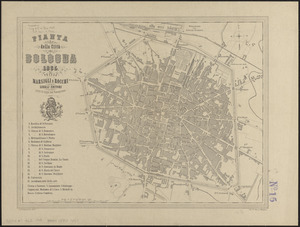
6278.
Pianta della città di Bologna
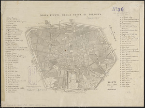
6279.
Pianta della città di Bologna
6280.
Pianta della città di Boston
‹ Prev
Next ›
1
2
…
310
311
312
313
314
315
316
317
318
…
452
453