Toggle navigation
LMEC Home
Exhibitions
Georeferencing
Tools for Teachers
Collections
My Favorites
Sign Up / Log In
Search
Search the map portal
Map Collection
Map Collection
Map Sets
Search
Search
Search for
Search In
All Fields
Creator
Title
Subject
Place
Search All Digital Collections
Advanced Search
8650 Results
My Search
Start Over
More Like
commonwealth:794083211
Remove constraint More Like: commonwealth:794083211
Filter your Search
Place
North and Central America
5,886
United States
4,805
Massachusetts
2,068
Europe
1,392
Suffolk (county)
1,041
Boston
1,014
Canada
449
Asia
436
more
Place
»
Topic
Boston (Mass.)--Maps
582
United States--Maps
279
Real property--Massachusetts--Boston--Maps
175
Massachusetts--Maps
161
Landowners--Massachusetts--Boston--Maps
133
North America--Maps--Early works to 1800
103
New England--Maps
101
Europe--Maps
79
more
Topic
»
Date
Date range begin
–
Date range end
Current results range from
1482
to
2023
View distribution
Creator
United States. Hydrographic Office
595
O.H. Bailey & Co
148
Des Barres, Joseph F. W. (Joseph Frederick Wallet), 1722-1824
123
United States. Post Office Dept
120
Ptolemy, 2nd cent
100
Walling, Henry Francis, 1825-1888
94
Geological Survey (U.S.)
86
Jefferys, Thomas, -1771
85
more
Creator
»
Format
Maps/Atlases
8,590
Manuscripts
215
Prints
56
Books
36
Objects/Artifacts
11
Drawings/Illustrations
8
Posters
5
Georeferenced
Yes
869
No
7,781
Collection
Norman B. Leventhal Map & Education Center Collection
8,646
Boston and New England Maps
2,221
Urban Maps
1,992
Maritime Charts and Atlases
1,083
American Revolutionary War-Era Maps
615
Boston Redevelopment Authority Collection
87
MacLean Collection Map Library
4
Available to use
No known restrictions
8,504
Creative Commons license
47
Search Constraints
Sort by relevance
relevance
title
date (asc)
date (desc)
Number of results to display per page
20 per page
10
per page
20
per page
50
per page
100
per page
View results as:
grid view
map view
Search Results
1.
Asia, Japan and Korea with the surrounding seas and the adjacent coastal region of China : from the latest information
2.
Chart of the coast of China and of the Japan islands : including the Marianes and part of the Philippines
3.
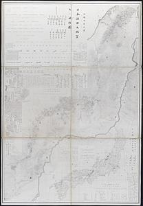
Geological and topographical maps of oil lands of Japan
4.
Insularum Japonicarum : tabulae geographicae secundum opus = Nippon jo tsi ro tei sen tsu
5.
Japan and its relation to the territory bordering on the Pacific Ocean
6.
Japan, south coast of Nipon, Kii Channel to Owasi Bay : from Brit. surveys in 1874 ; republication of Brit. Admty. chart no. 951
7.
Japan, the target : a pictorial Jap-map
8.
Japanese fishing, areas and seasons
9.
Map of Japan
10.
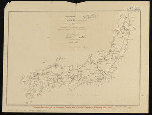
Map of Manchuria, Corea & Japan
11.
Map of the Japanese telegraph system
12.
The railway map of Japan
13.
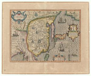
China
14.
Haejwa do
15.
Map of Japan plate
16.
Yeojido
17.
The 100th anniversary map of Abraham Lincoln's visit to Massachusetts, September 11-23, 1848
18.
1630 shoreline
19.
1879. Progress map of the U.S. Geographical Surveys west of the 100th Meridian : prepared under the direction of 1st Lieut....
20.
1903 Map of Salem and surrounding places
‹ Prev
Next ›
1
2
3
4
5
…
432
433