Toggle navigation
LMEC Home
Exhibitions
Georeferencing
Tools for Teachers
Collections
My Favorites
Sign Up / Log In
Search
Search the map portal
Map Collection
Map Collection
Map Sets
Search
Search
Search for
Search In
All Fields
Creator
Title
Subject
Place
Search All Digital Collections
Advanced Search
8163 Results
My Search
Start Over
More Like
commonwealth:6w924q02s
Remove constraint More Like: commonwealth:6w924q02s
Filter your Search
Place
North and Central America
4,912
United States
3,603
Suffolk (county)
1,026
Boston
999
Europe
963
Canada
427
France
269
Massachusetts
249
more
Place
»
Topic
Boston (Mass.)--Maps
574
United States--Maps
270
Real property--Massachusetts--Boston--Maps
174
Massachusetts--Maps
160
Landowners--Massachusetts--Boston--Maps
132
North America--Maps--Early works to 1800
104
New England--Maps
99
Europe--Maps
78
more
Topic
»
Date
Date range begin
–
Date range end
Current results range from
1482
to
2023
View distribution
Creator
United States. Hydrographic Office
357
O.H. Bailey & Co
148
Des Barres, Joseph F. W. (Joseph Frederick Wallet), 1722-1824
123
United States. Post Office Dept
120
Ptolemy, 2nd cent
100
Walling, Henry Francis, 1825-1888
94
Jefferys, Thomas, -1771
84
Geological Survey (U.S.)
82
more
Creator
»
Format
Maps/Atlases
8,104
Manuscripts
215
Prints
51
Books
36
Objects/Artifacts
10
Drawings/Illustrations
8
Posters
4
Georeferenced
Yes
869
No
7,294
Collection
Norman B. Leventhal Map Center Collection
8,162
Boston and New England Maps
2,184
Urban Maps
1,925
Maritime Charts and Atlases
750
American Revolutionary War-Era Maps
617
Boston Redevelopment Authority Collection
86
New-York Historical Society Collection
1
Available to use
No known restrictions
8,022
Creative Commons license
46
Search Constraints
Sort by relevance
relevance
title
date (asc)
date (desc)
Number of results to display per page
20 per page
10
per page
20
per page
50
per page
100
per page
View results as:
grid view
map view
Search Results
1.
Carta particolare della parte ocidentale della nuova Spagnia, è del la California
2.
Carte des isles Antilles et du Golfe du Mexique : avec la majeure partie de la nouvelle Espagne
3.
Carte du Mexique et des Etats Unis d'Amérique, partie meridionale
4.
La Florida
5.
Hispaniae novae nova descriptio
6.
A map of the West-Indies &c. Mexico or New Spain : also ye trade winds, and ye several tracts made by ye galeons and flota from...
7.
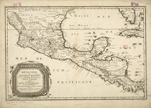
[Mexico and Central America]
8.
Mexicque, ou Nouvelle Espagne, Nouvlle. Gallice, Iucatan &c : et autres provinces jusques a l'Isthme de Panama, ou sont les...
9.
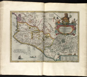
Nova Hispania, et Nova Galicia
10.
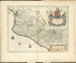
Nova Hispania et Nova Galicia
11.
The West Indies exhibiting the English, French, Spanish, Dutch & Danish settlements
12.
A new and correct map of North America, with the West India islands, divided according to the preliminary articles of peace,...
13.
The 100th anniversary map of Abraham Lincoln's visit to Massachusetts, September 11-23, 1848
14.
1630 shoreline
15.
1879. Progress map of the U.S. Geographical Surveys west of the 100th Meridian : prepared under the direction of 1st Lieut....
16.
1903 Map of Salem and surrounding places
17.
19th annual convention of the National Association of Real Estate Boards : at Tulsa, June 7 to June 11 in 1926
18.
2005 significant U.S. hurricane strikes
19.
The 2100 project : an atlas for the Green New Deal
20.
227 Harzgerode
‹ Prev
Next ›
1
2
3
4
5
…
408
409


![[Mexico and Central America]](https://bpldcassets.blob.core.windows.net/derivatives/images/commonwealth:cj82m4685/image_thumbnail_300.jpg)