Toggle navigation
LMEC Home
Exhibitions
Georeferencing
Tools for Teachers
Collections
My Favorites
Sign Up / Log In
Search
Search the map portal
Map Collection
Map Collection
Map Sets
Search
Search
Search for
Search In
All Fields
Creator
Title
Subject
Place
Search All Digital Collections
Advanced Search
8798 Results
My Search
Start Over
More Like
commonwealth:6t053p341
Remove constraint More Like: commonwealth:6t053p341
Filter your Search
Place
North and Central America
6,016
United States
4,896
Massachusetts
2,079
Europe
1,396
Suffolk (county)
1,046
Boston
1,019
Canada
472
Asia
438
more
Place
»
Topic
Boston (Mass.)--Maps
586
United States--Maps
330
Real property--Massachusetts--Boston--Maps
175
Massachusetts--Maps
162
Landowners--Massachusetts--Boston--Maps
133
New England--Maps
107
North America--Maps--Early works to 1800
103
North America--Maps
85
more
Topic
»
Date
Date range begin
–
Date range end
Current results range from
1482
to
2023
View distribution
Creator
United States. Hydrographic Office
595
O.H. Bailey & Co
148
Des Barres, Joseph F. W. (Joseph Frederick Wallet), 1722-1824
123
United States. Post Office Dept
120
Ptolemy, 2nd cent
100
Walling, Henry Francis, 1825-1888
94
Geological Survey (U.S.)
87
Jefferys, Thomas, -1771
87
more
Creator
»
Format
Maps/Atlases
8,738
Manuscripts
215
Prints
56
Books
36
Objects/Artifacts
10
Drawings/Illustrations
8
Posters
5
Georeferenced
Yes
874
No
7,924
Collection
Norman B. Leventhal Map & Education Center Collection
8,701
Boston and New England Maps
2,233
Urban Maps
2,023
Maritime Charts and Atlases
1,083
American Revolutionary War-Era Maps
711
Boston Redevelopment Authority Collection
87
Maps from AAS
40
William L. Clements Library Collection
31
more
Collection
»
Available to use
No known restrictions
8,557
Creative Commons license
61
Search Constraints
Sort by relevance
relevance
title
date (asc)
date (desc)
Number of results to display per page
20 per page
10
per page
20
per page
50
per page
100
per page
View results as:
grid view
map view
Search Results
421.
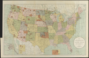
Map of United States showing drainage areas and index numbers
422.
Map showing Indian reservations within the limits of the United States
423.
A new & accurate map of Louisiana, with part of Florida and Canada, : and the adjacent countries drawn from surveys assisted by...
424.
A new map of the United States of America : drawn from the latest authorities
425.
A new map of the United States of America including part of Louisiana : part of Canada & of East Florida and the whole of West...
426.
Partie de l'Amerique Septentrionale, : qui comprend le cours de l'Ohio, la Nlle. Angleterre, la Nlle. York, le New Jersey, la...
427.
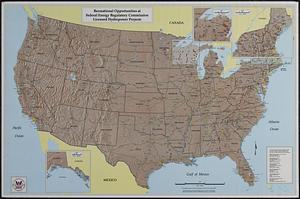
Recreational opportunities at Federal Energy Regulatory Commission licensed hydropower projects
428.
States of America, drawn from the best authorities
429.
The United States according to the definitive treaty of peace signed at Paris, Septr. 3d, 1783
430.
United States of America
431.
The United States of America
432.
United States of America
433.
The United States of America : laid down from the best authorities agreeable to the peace of 1783. : This map and chart is...
434.
The United States of America circa 1900
435.
The United States of America laid down from the best authorities, agreeable to the peace of 1783
436.
The United States of America with the British possessions of Canada, Nova Scotia, New Brunwsick, and Newfoundland, divided with...
437.
The United States of North America : with the British & Spanish territories according to the treaty, of 1784
438.
The 100th anniversary map of Abraham Lincoln's visit to Massachusetts, September 11-23, 1848
439.
1630 shoreline
440.
1879. Progress map of the U.S. Geographical Surveys west of the 100th Meridian : prepared under the direction of 1st Lieut....
‹ Prev
Next ›
1
2
…
18
19
20
21
22
23
24
25
26
…
439
440