Toggle navigation
LMEC Home
Collections
My Favorites
Exhibitions
Georeferencing
Tools for Teachers
Sign Up / Log In
Search
Search the map portal
Search
Search
Search for
Search in
All Fields
Title
Subject
Place
Creator
Search All Digital Collections
Advanced Search
115 Results
Search Constraints
My Search
Start Over
More like
commonwealth:6395x781b
Remove constraint More like: commonwealth:6395x781b
Filter your Search
Show filters
Hide filters
Place
North and Central America
100
United States
95
New York
42
Maine
19
Europe
6
Lower Bay
6
Upper Bay
6
Erie (county)
5
more
Place
»
Topic
United States--History--Revolution, 1775-1783
35
Maps--Early works to 1800
23
Maine--Maps
21
Campaigns & battles
8
Harbors
5
Navigation
5
War
5
Civil wars
4
more
Topic
»
Creator
Des Barres, Joseph F. W. (Joseph Frederick Wallet), 1729-1824
25
Cram, George Franklin, 1841-1928
11
Rand McNally and Company
7
Matthews-Northrup Company
5
Smith, Benjamin E. (Benjamin Eli), 1857-1913
5
Faden, William, 1749-1836
4
Mitchell, S. Augustus (Samuel Augustus), 1792-1868
4
Bache, A. D. (Alexander Dallas), 1806-1867
3
more
Creator
»
Format
Maps/Atlases
112
Prints
3
Books
1
Manuscripts
1
Georeferenced
Yes
6
No
109
Collection
Robert E. Diefenbach Map Collection at Phillips Academy
75
American Revolutionary War-Era Maps
31
Osher Map Library Collection
26
Ralph Finos Map Collection at Phillips Academy
8
Boston and New England Maps
1
George Washington Presidential Library at Mount Vernon Collection
1
Harvard Map Collection
1
Mapping Boston Collection
1
more
Collection
»
Available to use
No known restrictions
80
Creative Commons license
6
Sort
by date (asc)
relevance
title
date (asc)
date (desc)
recently added
Number of results to display per page
100
per page
per page
10
per page
20
per page
50
per page
100
per page
Search Results
1.
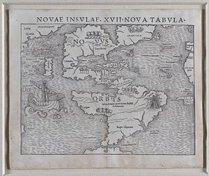
Novae insulae, XVII, nova tabula
2.
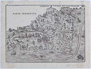
La Nuova Francia
3.
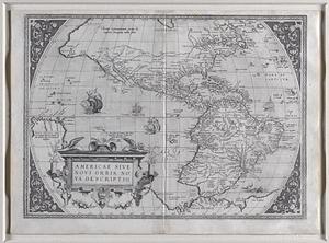
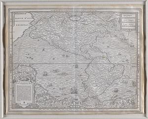
Americae sive novi orbis, nova descriptio.
4.
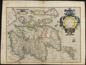
Scotia tabula
5.
Septentrion, quarte partie du monde
6.
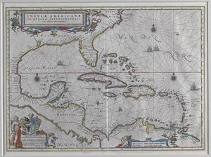
Insulae Americanae in Oceano Septentrionali, cum terris adiacentibus
7.
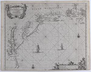
Pas caerte van Nieu Nederlandt en de Engelsche Virginies van Cabo Cod tot Cabo Canrick
8.
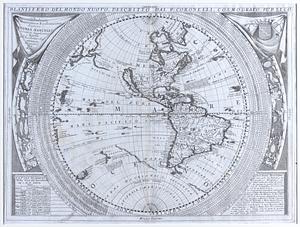
Planisfero del mondo nuovo
9.
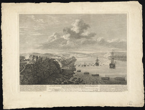
A view of the landing place above the town of Quebec, describing the assault of the enemys post, on the banks of the River St....
10.
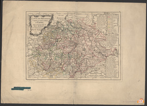
Carte des principautés, comtés et autres etats d'empire, qui se trouvent dans la partie merdionale du cercle de la Haute Saxe
11.
A Map of the British Colonies in North America : with the Roads, Distances, Limits, and extent of the Settlements, Humbly...
12.
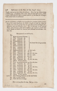
References to the plan of Gen. Gage's lines
13.
Coast of Maine : Bottom Half of Two Sheet Chart: Grand Manan Island
14.
Coast of Maine: Top Half of Two Sheet Chart: Passamaquoddy Bay
15.
Falmouth Harbor and Portland Sound
16.
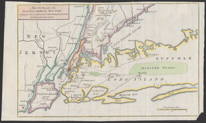
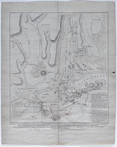
Map of the progress of his majesty's armies in New York during the late campaign illustrating the accounts publish'd in the...
17.
[Plan of New York] : To the Honble. John Sullivan Esqr. Major Genl. in the army of the United States of America humbly...
18.
A plan of New York Island, with part of Long Island, Staten Island, & East New York : with a particular description of the...
19.
Coast of Maine- From Frenchman's Bay to Musketo Island including Mount Desart and Deer Islands, and Penobscot Bay
20.
Coast of Maine from Spurwink River to Moose Point
21.
Coast of Maine- From Spurwink River to Moose Point or, from Musketo Island to Cape Elizabeth, inclulding Kennebec River
22.
Coast of Maine-Moose Harbor to Watering Cove, including Mechiass Bay, Naragnagus Bay, and Gouldsborough, Dated April 24, 1776
23.
Gouldsborough to Moose Harbor, Maine
24.
Gouldsborough to Moose Harbor, Maine
25.
Gouldsborough to Moose Harbor, Maine
26.
Coast of ME, NH, MA- Cape Elizabeth to Newbury Harbor
27.
Coast of Maine - From Seal Harbor to Penmaquid Point
28.
Coast of Maine - From Seal Harbor to Penmaquid Point
29.
Coast of Maine- From Seal Harbor to Penmaquid Point, Dated June 24, 1776
30.
Coast of Maine from Cape Elizabeth to Merrymeeting Bay
31.
Coast of Maine- From Roger's Bay to Portland Sound including Falmouth Harbor, Dated July, 1776
32.
Coast of Maine- Mount Desart Island, Frenchman's Bay, Long Island, Dated July 15, 1776
33.
Coast of Maine- Detail of Penobscot Bay with Isle Haut and Southern Fox Island, Dated Aug. 17, 1776
34.
Coast of Maine- Detail of Penobscot Bay with Isle Haut and Southern Fox Island, Dated Aug. 17, 1776
35.
Coast of Maine- Detail of Inner Penobscot Bay with Deer Island, Long Island and Winslow or Long Island, Dated Sept. 3, 1776
36.
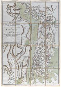
A plan of the operations of the king's army under the command of General Sr. William Howe, K.B. in New York and East New...
37.
Plan of Valley Forge
38.
A Chart of Delawar Bay, with Soundings and Nautical Observations
39.
Chart of the Coast and Harbors of New England
40.
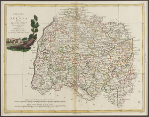
Circolo di Svevia diviso ne suoi stati di nuova projezione
41.
Coast of Maine- Falmouth Harbor, Dated Jan. 1, 1781
42.
Coast of Maine: Two Views of Wolves Islands at Entrance of Passamaquoddy Bay
43.
Manuscript Map, French intelligence map of New York harbor with soundings of East River, Hell Gate, and the western end of Long...
44.
The Coast of New England
45.
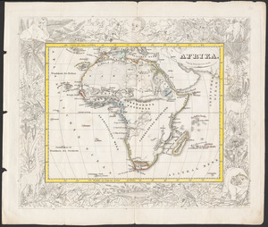
Afrika
46.
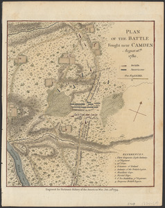
Plan of the battle fought near Camden August 16th, 1780
47.
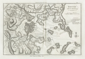
Boston with its environs
48.
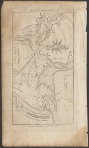
New York
49.
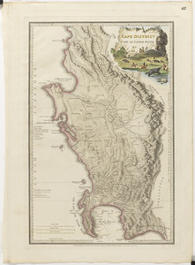
Cape District, Cape of Good Hope
50.
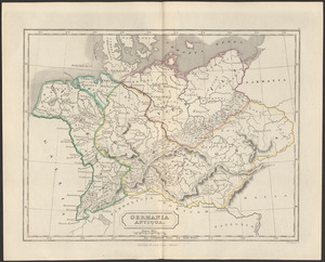
Germania antiqua
51.
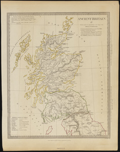
Ancient Britain II
52.
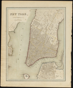
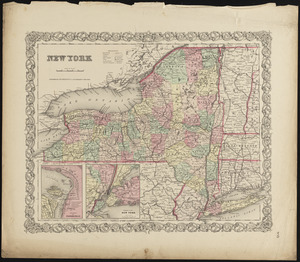
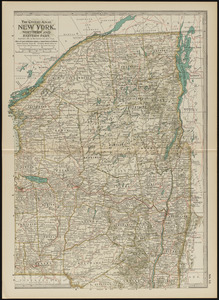
New York
53.
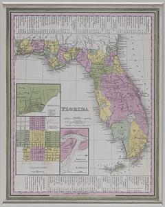
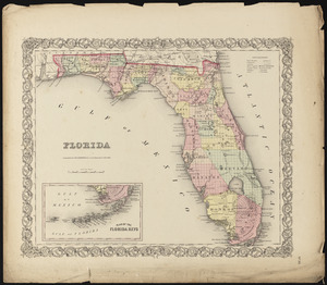
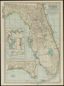
Florida
54.
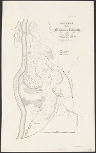
Retreat of the Marquis de Lafayette from Barren Hill, May 20th, 1778
55.
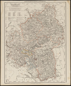
Hohenzollern-Hechingen und Sigmaringen
56.
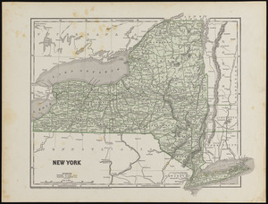
New York
57.
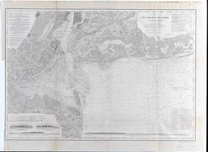
Map of New-York Bay and Harbor and the environs : Founded upon a trigonometrical survey under the direction of F.R. Hassler,...
58.
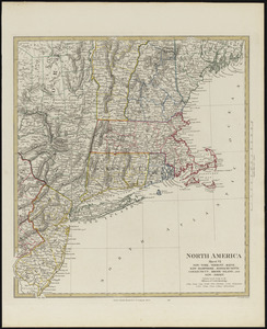
North America, sheet VI, New-York, Vermont, Maine, New-Hampshire, Massachusetts, Connecticut, Rhode-Island, and New-Jersey
59.
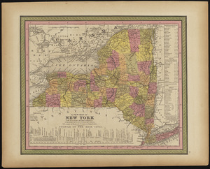
A new map of New York with its canals, roads & distances
60.
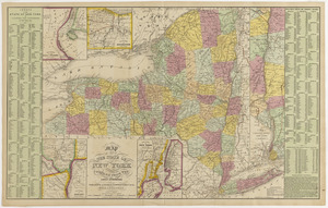
Map of the state of New York compiled from the latest authorities
61.
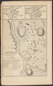
A plan of the field of battle and disposition of the troops as they were on the march at the time of the attack, July 9th, 1755
62.
Florida
63.
New York
64.
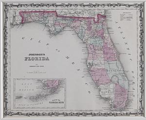
Johnson's Florida
65.
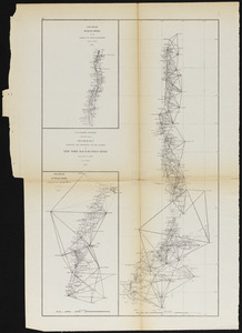
Sketch B.No.2 showing the progress of the survey in New York Bay & Hudson River from 1851 to 1859
66.
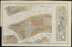
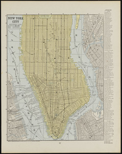
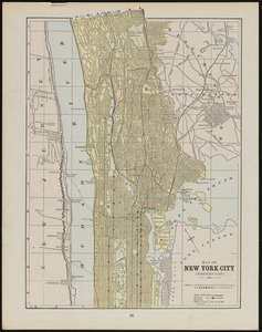
Map of New York City
67.
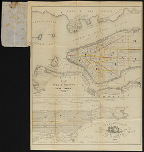
Map of the city and county of New York
68.
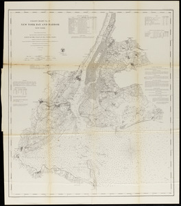
New York Bay and Harbor
69.
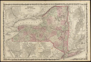
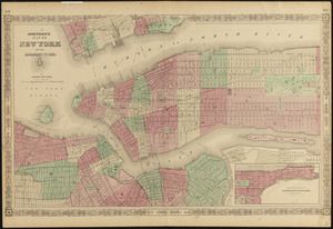
Johnson's New York
70.
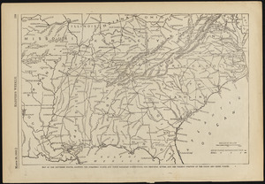
Map of the southern states, showing the strateic poits and their railroad connections, the principal rivers, and the present...
71.
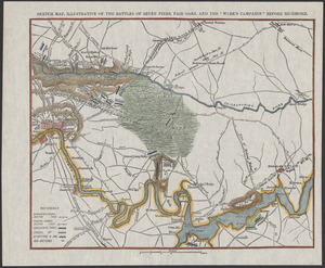
Sketch map, illustrative of Seven Pines, Fair Oaks, and the "Week's Campaign" before Richmond
72.
Johnson's map of New York and the adjacent cities
73.
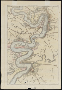
Map of the Mississippi, from Haine's Bluff to below Grand Gulf, showing the theatre of Gen. Grant's and Admiral Farragut's...
74.
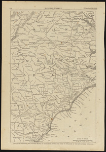
Map of the sea-board from Fortress Monroe to Charleston, showing the field of operations of the new southern expedition
75.
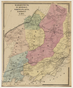
Mamaroneck, Scarsdale, White Plains, Harrison & Rye
76.
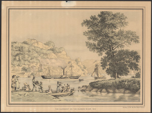
The Clermont on the Hudson River, 1810
77.
Map of New York City (northern part)
78.
Map of New York City (southern part)
79.
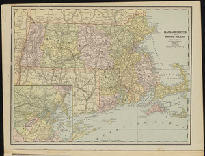
Massachusetts and Rhode Island
80.
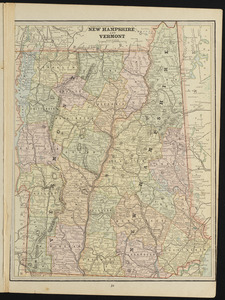
New Hampshire and Vermont
81.
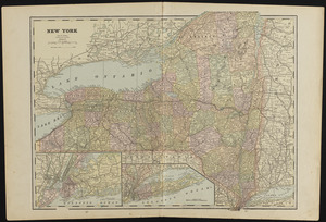
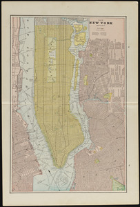
New York
82.
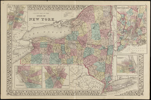
County map of the state of New York
83.
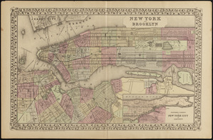
New York and Brooklyn
84.
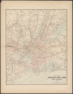
Map of the greater New York and vicinity
85.
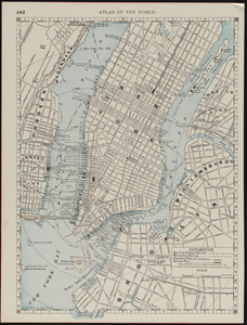
Map of New York City
86.
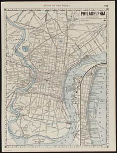
Philadelphia
87.
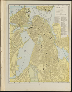
Boston
88.
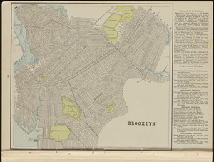
Brooklyn
89.
Map of New York and vicinity
90.
Massachusetts and Rhode Island
91.
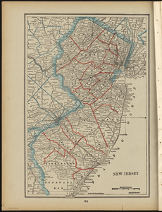
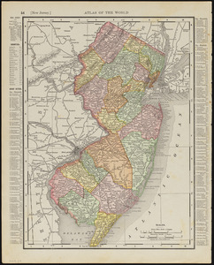
New Jersey
92.
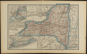
New York
93.
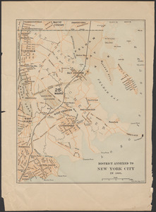
District annexed to New York City in 1895
94.
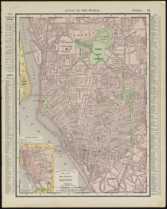
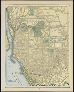
Main portion of Buffalo
95.
New Jersey
96.
Buffalo
97.
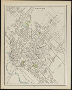
Dallas, Texas
98.
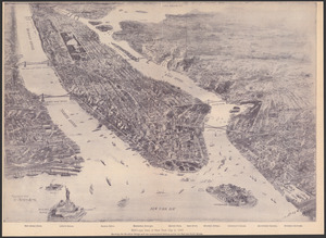
Bird's-eye view of New York City in 1897
99.
Florida
100.
New York, eastern part
« Previous
Next »
1
2