Search Constraints
Search Results

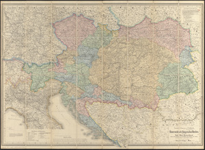


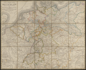
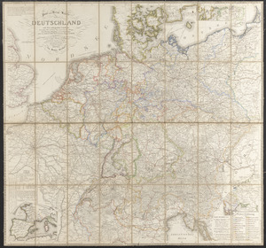
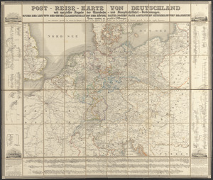
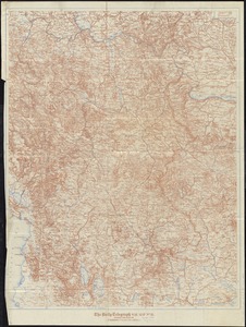
22. Deutschland


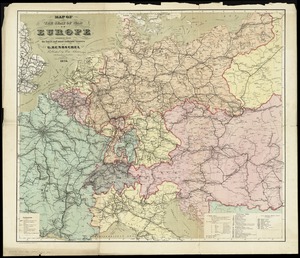

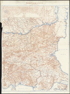
34. Prussia


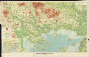
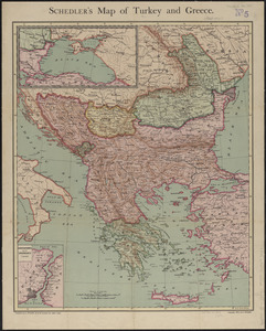
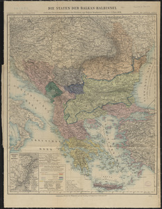
40. Balkan Peninsula

41. Balkan peninsula


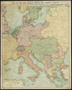
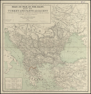
43. The Balkans

44. The Balkans


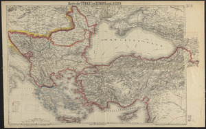

60. Mer noire


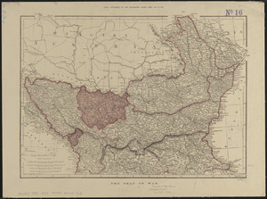
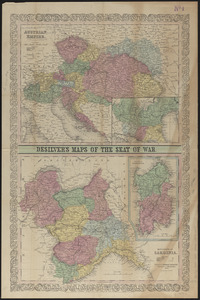
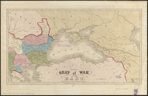
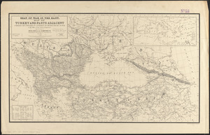
65. The seat of war


74. 1630 shoreline


80. 227 Harzgerode

81. 305 Glatz


![[A chart of Boston Bay and vicinity]](https://bpldcassets.blob.core.windows.net/derivatives/images/commonwealth:cj82m2976/image_thumbnail_300.jpg)


