Search Constraints
Search Results


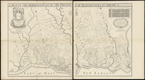

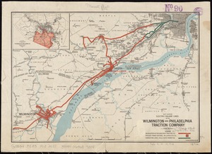

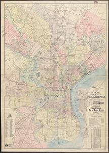
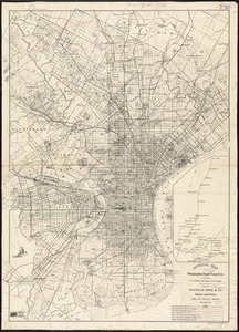


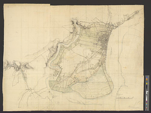
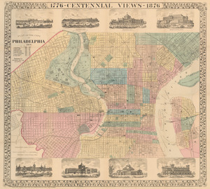
17. Philadelphia


22. 1630 shoreline


28. 227 Harzgerode

29. 305 Glatz


31. 4 Kinten

![[A chart of Boston Bay and vicinity]](https://bpldcassets.blob.core.windows.net/derivatives/images/commonwealth:cj82m2976/image_thumbnail_300.jpg)


73. Adriatic


75. Aegyptus Antiqua


86. Africa


88. Africa

89. Africa

90. Africa

91. Africa

92. Africa


