Search Constraints
Search Results


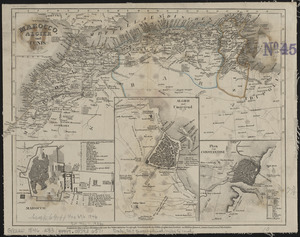
4665. Mare del Nord
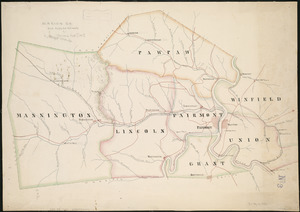
4667. Marion Co

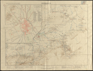
4670. Marrakech
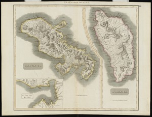
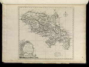
4672. Martinico, Dominica

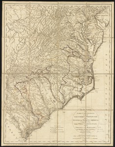
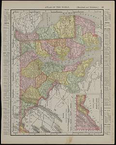
4674. Maryland
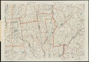
4676. Massachusetts

4677. Massachusetts

4678. Massachusetts

4679. Massachusetts
