Toggle navigation
LMEC Home
Collections
My Favorites
Exhibitions
Georeferencing
Tools for Teachers
Sign Up / Log In
Search
Search the map portal
Search
Search
Search for
Search in
All Fields
Title
Subject
Place
Creator
Search All Digital Collections
Advanced Search
9029 Results
Search Constraints
My Search
Start Over
More like
commonwealth:3r079787f
Remove constraint More like: commonwealth:3r079787f
Filter your Search
Show filters
Hide filters
Place
North and Central America
6,200
United States
5,092
Massachusetts
2,192
Europe
1,420
Suffolk (county)
1,090
Boston
1,059
Canada
464
Asia
447
more
Place
»
Topic
Boston (Mass.)--Maps
600
United States--Maps
301
Real property--Massachusetts--Boston--Maps
180
Massachusetts--Maps
173
Landowners--Massachusetts--Boston--Maps
138
New England--Maps
110
North America--Maps--Early works to 1800
103
Europe--Maps
82
more
Topic
»
Creator
United States. Hydrographic Office
597
O.H. Bailey & Co
148
Des Barres, Joseph F. W. (Joseph Frederick Wallet), 1722-1824
122
United States. Post Office Dept
120
Geological Survey (U.S.)
100
Ptolemy, 2nd cent
100
Walling, Henry Francis, 1825-1888
94
Jefferys, Thomas, -1771
85
more
Creator
»
Format
Maps/Atlases
8,960
Manuscripts
215
Prints
56
Books
42
Objects/Artifacts
13
Drawings/Illustrations
8
Ephemera
8
Documents
5
more
Format
»
Georeferenced
Yes
965
No
8,064
Collection
Norman B. Leventhal Map & Education Center Collection
9,018
Boston and New England Maps
2,371
Urban Maps
2,082
Maritime Charts and Atlases
1,084
American Revolutionary War-Era Maps
631
Boston Redevelopment Authority Collection
87
William L. Clements Library Collection
11
Available to use
No known restrictions
8,863
Creative Commons license
60
Sort
by relevance
relevance
title
date (asc)
date (desc)
recently added
Number of results to display per page
20
per page
per page
10
per page
20
per page
50
per page
100
per page
Search Results
8781.
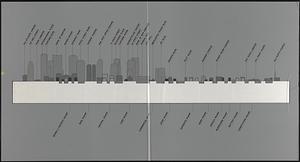
Waterfront skyline
8782.
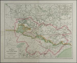
Watershed of the Lake of the Woods
8783.
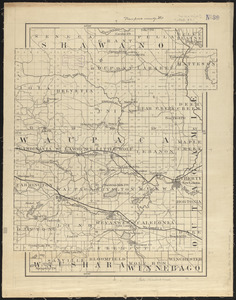
Waupaca County, Wis.
8784.
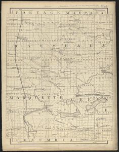
Waushara, Marquette, and Green Lake Counties, Wis.
8785.
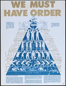
We must have order
8786.
Weiterführung der Rheinischen Eisenbahn : general übersicht
8787.
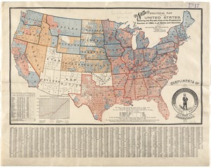
Weller's political map of the United States : showing the plurality vote of the presidential election of 1892, in all states...
8788.
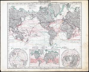
Welt-karte zur übersicht der meeres-strömungen und des schnellverkehrs
8789.
Wereldkaart "reis om de wereld"
8790.
West Boylston, Massachusetts : 1891
8791.
West Brookfield
8792.
West Canton Community Park
8793.
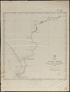
West coast of Africa, Liberia, St. Paul River
8794.
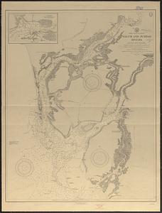
West coast of Africa, Salum and Jumbas Rivers : from a French sketch survey in 1895
8795.
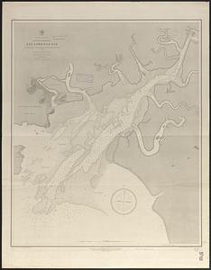
West coast of Central America, Gulf of Fonseca, San Lorenzo Bay
8796.
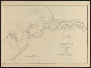
West coast of Korea, Ping Yang Inlet
8797.
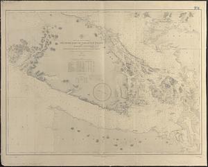
West coast of North America, southern part of Vancouver Island and adjacent coast, entrance of Juan de Fuca Strait to Nanaimo...
8798.
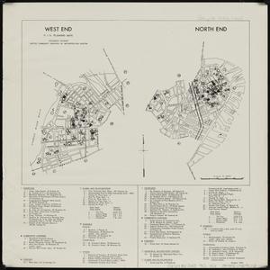
West End ; North End : R.I.G. planning maps
8799.
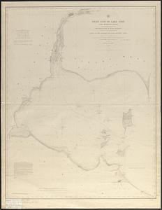
West end of Lake Erie and Detroit River : from surveys under the direction of the Topographical Bureau of the War Department,...
8800.
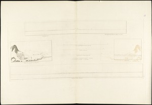
West End of the Isle of Sable from the northward ... : Wreckers Den near the Pond ... ; North Shore ; North Shore of Isle Sable
« Previous
Next »
1
2
…
436
437
438
439
440
441
442
443
444
…
451
452