Search Constraints
Search Results
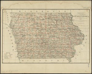
7401. State of Iowa

7402. State of Iowa

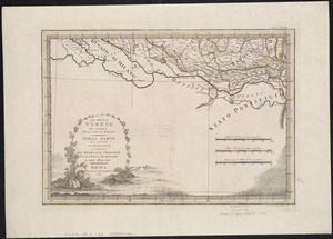
7403. State of Kansas

7404. State of Kansas


7407. State of Louisiana


7409. State of Maine

7410. State of Maine


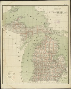
7414. State of Michigan
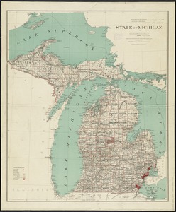
7415. State of Michigan
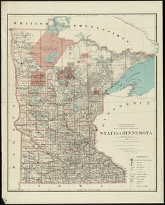
7416. State of Minnesota
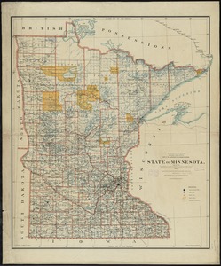
7417. State of Minnesota
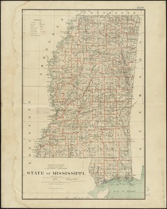
7418. State of Mississippi
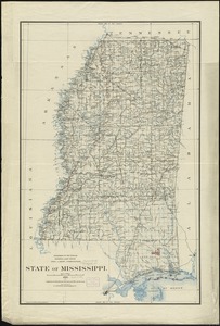
7419. State of Mississippi
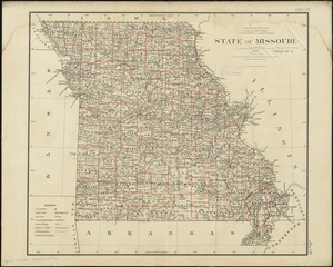
7420. State of Missouri
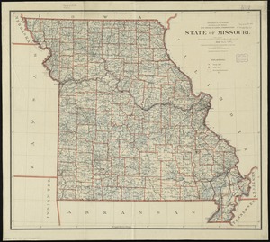
7421. State of Missouri
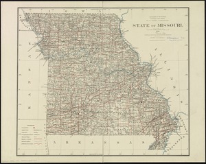
7422. State of Missouri
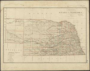
7423. State of Nebraska
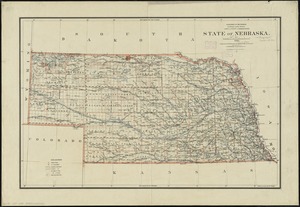
7424. State of Nebraska
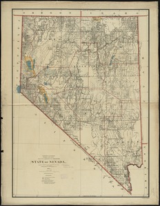
7425. State of Nevada


7431. The state of New York

7432. State of New York


7436. State of North Dakota

7437. State of North Dakota

7438. State of Oaxaca

7439. State of Ohio


7441. State of Oregon


7447. State of South Dakota


7454. The state of Wisconsin

7455. State of Wisconsin
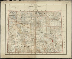
7456. State of Wyoming
![[Statement and plan of the Bill estate]](https://bpldcassets.blob.core.windows.net/derivatives/images/commonwealth:1257bc08v/image_thumbnail_300.jpg)


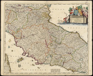
7462. Stato di Milano


7471. Stoughton, Mass : 1879


7478. Stratford, Conn : 1882


7484. Street trees Comm. Ave.


7493. Südamerika

7494. Sudan


