Search Constraints
Search Results


423. Open space 2017


427. Percent foreign-born


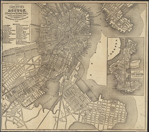
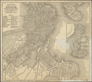
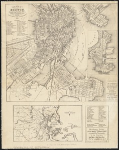
436. Plan of Boston
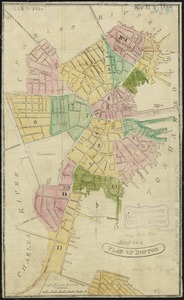
437. Plan of Boston
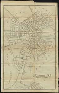
438. Plan of Boston
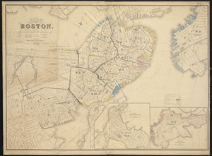
439. Plan of Boston
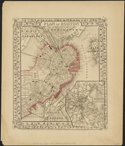
440. Plan of Boston
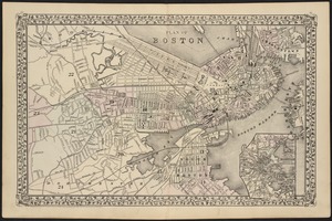
441. Plan of Boston
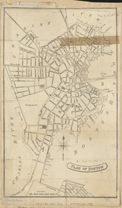
442. Plan of Boston
443. Plan of Boston
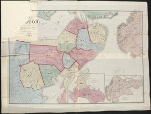
444. Plan of Boston
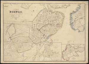
445. Plan of Boston
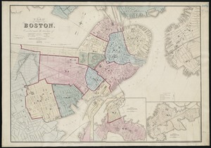
446. Plan of Boston
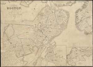
447. Plan of Boston
448. Plan of Boston

449. Plan of Boston

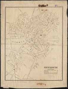
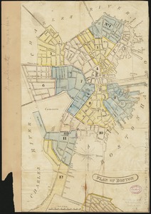
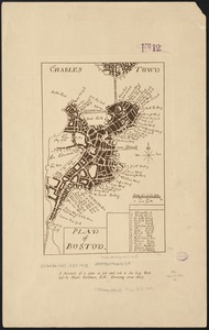
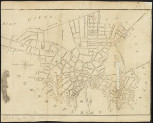
451. Plan of Boston 1828


![[Plan of channels and flats as they were before the 200 feet outside of the Mill Dam was filled up]](https://bpldcassets.blob.core.windows.net/derivatives/images/commonwealth:b8516207x/image_thumbnail_300.jpg)


![Plan of lands on the Back Bay belonging to the Boston Water Power Co., the Commonwealth and other parthies [i.e. parties], showing the system of streets, grades and sewers as laid out and recommended by the Back Bay Commissioners](https://bpldcassets.blob.core.windows.net/derivatives/images/commonwealth:1257bb305/image_thumbnail_300.jpg)
![[Plan of lots in Chinatown, between Broad and Front Streets, and Beach and Orange Streets, Boston]](https://bpldcassets.blob.core.windows.net/derivatives/images/commonwealth:9s161h46q/image_thumbnail_300.jpg)
![[Plan of lots in Chinatown (Boston), between Avery and Eliot Streets, and Tremont Street and Harrison Avenue]](https://bpldcassets.blob.core.windows.net/derivatives/images/commonwealth:cj82kz565/image_thumbnail_300.jpg)


![[Plan of real estate on Pearl Street, Boston]](https://bpldcassets.blob.core.windows.net/derivatives/images/commonwealth:9s161d705/image_thumbnail_300.jpg)


