Search Constraints
Search Results
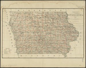
7401. State of Iowa

7402. State of Iowa

7403. State of Kansas

7404. State of Kansas


7407. State of Louisiana


7409. State of Maine

7410. State of Maine


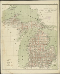
7414. State of Michigan
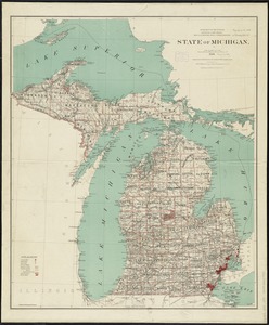
7415. State of Michigan
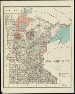
7416. State of Minnesota
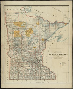
7417. State of Minnesota
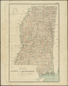
7418. State of Mississippi
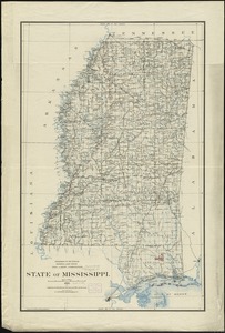
7419. State of Mississippi