Search Constraints
Search Results

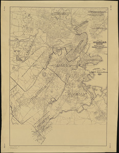
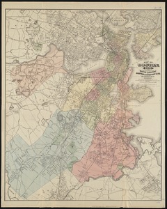
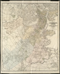
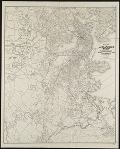
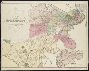
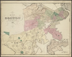
201. Map of Boston


204. Map of Boston

205. Map of Boston


207. Map of Boston

208. Map of Boston


211. Map of Boston

212. Map of Boston


216. Map of Boston 1872


220. Map of Boston, 1884


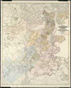
![[Map of Boston and vicinity]](https://bpldcassets.blob.core.windows.net/derivatives/images/commonwealth:9s161d374/image_thumbnail_300.jpg)

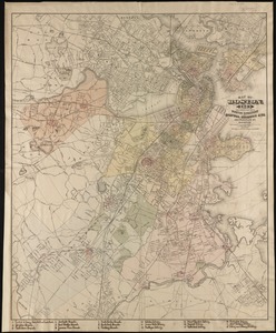
![[Map of Boston and vicinity]](https://bpldcassets.blob.core.windows.net/derivatives/images/commonwealth:wd376691q/image_thumbnail_300.jpg)

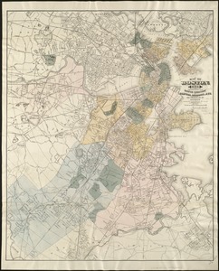
![[Map of Boston and vicinity, for the use of guests]](https://bpldcassets.blob.core.windows.net/derivatives/images/commonwealth:9s161d25b/image_thumbnail_300.jpg)


285. Map of Boston Harbor


288. Map of Boston proper


![[Map of New England, 31st]](https://bpldcassets.blob.core.windows.net/derivatives/images/commonwealth:wd3763094/image_thumbnail_300.jpg)


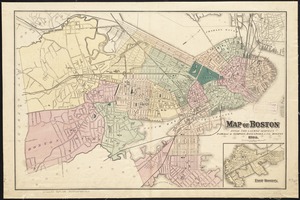
![[Map of Scollay Square and vicinity]](https://bpldcassets.blob.core.windows.net/derivatives/images/commonwealth:x059cc25q/image_thumbnail_300.jpg)
