Toggle navigation
LMEC Home
Collections
My Favorites
Exhibitions
Georeferencing
Tools for Teachers
Sign Up / Log In
Search
Search the map portal
Search
Search
Search for
Search in
All Fields
Title
Subject
Place
Creator
Search All Digital Collections
Advanced Search
8996 Results
Search Constraints
My Search
Start Over
More like
commonwealth:3f463277s
Remove constraint More like: commonwealth:3f463277s
Filter your Search
Show filters
Hide filters
Place
North and Central America
6,177
United States
5,081
Massachusetts
2,182
Europe
1,417
Suffolk (county)
1,083
Boston
1,052
Canada
463
Asia
446
more
Place
»
Topic
Boston (Mass.)--Maps
599
United States--Maps
294
Real property--Massachusetts--Boston--Maps
178
Massachusetts--Maps
172
Landowners--Massachusetts--Boston--Maps
136
New England--Maps
109
North America--Maps--Early works to 1800
103
Europe--Maps
81
more
Topic
»
Creator
United States. Hydrographic Office
597
O.H. Bailey & Co
148
Des Barres, Joseph F. W. (Joseph Frederick Wallet), 1722-1824
122
United States. Post Office Dept
120
Geological Survey (U.S.)
100
Ptolemy, 2nd cent
100
Walling, Henry Francis, 1825-1888
94
Jefferys, Thomas, -1771
85
more
Creator
»
Format
Maps/Atlases
8,931
Manuscripts
217
Prints
56
Books
39
Objects/Artifacts
13
Drawings/Illustrations
8
Posters
5
Ephemera
4
more
Format
»
Georeferenced
Yes
968
No
8,028
Collection
Norman B. Leventhal Map & Education Center Collection
8,973
Boston and New England Maps
2,356
Urban Maps
2,074
Maritime Charts and Atlases
1,083
American Revolutionary War-Era Maps
641
Boston Redevelopment Authority Collection
87
William L. Clements Library Collection
12
Maps from AAS
4
more
Collection
»
Available to use
No known restrictions
8,820
Creative Commons license
61
Sort
by relevance
relevance
title
date (asc)
date (desc)
recently added
Number of results to display per page
10
per page
per page
10
per page
20
per page
50
per page
100
per page
Search Results
1.
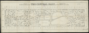
Plan for the improvement of the Central Park, adopted by the Commissioners, June 3rd, 1856
2.
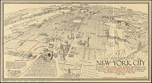
An aerial view of New York City showing how easily the weary traveler may reach the Herald Square Hotel wherein he will find...
3.
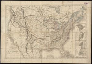
Carte générale des États-Unis de l'Amérique avec les plans des principales villes
4.
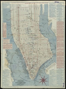
Citizens & travelers guide map in, to and from the city of New York and adjacent places
5.
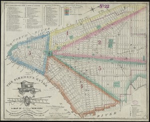
The Firemen's guide : a map of the City of New-York, showing the fire districts, fire limits, hydrants, public cisterns,...
6.
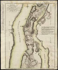
Grundriss des nördlichen Theils der Neujorks Insel nebst den am 16. Novbr. 1776. eroberten Fort Washington nun das Fort...
7.
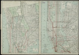
Hammond's complete map of New York City
8.
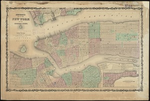
Johnson's map of New York and the adjacent cities
9.
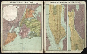
Map of greater New York : Map of the borough of Manhattan
10.
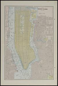
Map of New York and vicinity
« Previous
Next »
1
2
3
4
5
…
899
900