Toggle navigation
LMEC Home
Exhibitions
Georeferencing
Tools for Teachers
Collections
My Favorites
Sign Up / Log In
Search
Search the map portal
Map Collection
Map Collection
Map Sets
Search
Search
Search for
Search In
All Fields
Creator
Title
Subject
Place
Search All Digital Collections
Advanced Search
8176 Results
My Search
Start Over
More Like
commonwealth:3f463056m
Remove constraint More Like: commonwealth:3f463056m
Filter your Search
Place
North and Central America
4,925
United States
3,610
Suffolk (county)
1,026
Boston
999
Europe
963
Canada
427
France
269
Massachusetts
249
more
Place
»
Topic
Boston (Mass.)--Maps
574
United States--Maps
270
Real property--Massachusetts--Boston--Maps
174
Massachusetts--Maps
160
Landowners--Massachusetts--Boston--Maps
132
North America--Maps--Early works to 1800
103
New England--Maps
99
Europe--Maps
78
more
Topic
»
Date
Date range begin
–
Date range end
Current results range from
1482
to
2023
View distribution
Creator
United States. Hydrographic Office
357
O.H. Bailey & Co
148
Des Barres, Joseph F. W. (Joseph Frederick Wallet), 1722-1824
123
United States. Post Office Dept
120
Ptolemy, 2nd cent
100
Walling, Henry Francis, 1825-1888
94
Jefferys, Thomas, -1771
85
Geological Survey (U.S.)
82
more
Creator
»
Format
Maps/Atlases
8,117
Manuscripts
215
Prints
51
Books
36
Objects/Artifacts
10
Drawings/Illustrations
8
Posters
4
Georeferenced
Yes
869
No
7,307
Collection
Norman B. Leventhal Map Center Collection
8,162
Boston and New England Maps
2,184
Urban Maps
1,925
Maritime Charts and Atlases
750
American Revolutionary War-Era Maps
629
Boston Redevelopment Authority Collection
86
William L. Clements Library Collection
9
American Antiquarian Society Collection
5
Available to use
No known restrictions
8,021
Creative Commons license
46
Search Constraints
Sort by relevance
relevance
title
date (asc)
date (desc)
Number of results to display per page
20 per page
10
per page
20
per page
50
per page
100
per page
View results as:
grid view
map view
Search Results
1.
Colton's new topographical map of the states of Virginia, Maryland & Delaware, showing also eastern Tennessee & parts of other...
2.
Colton's new topographical map of the states of Virginia, West Virginia, Maryland & Delaware and portions of other adjoining...
3.
Johnson's Virginia, Delaware, Maryland & West Virginia
4.
Map of the State of Virginia
5.
Map of the Virginian Railway
6.
Map of Virginia and West Virginia
7.
Map of Virginia, West Virginia and Ohio : showing Norfolk and Western Railway : main line branches and connections
8.
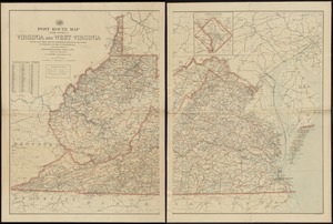
Post route map of the states of Virginia and West Virginia showing post offices with the intermediate distances and mail routes...
9.
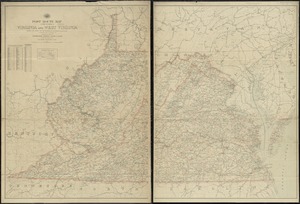
Post route map of the states of Virginia and West Virginia showing post offices with the intermediate distances on mail routes...
10.
Post route map of the states of Virginia and West Virginia showing post offices with the intermediate distances on mail routes...
11.
Post route map of the states of Virginia and West Virginia together with Maryland and Delaware with adjacent parts of...
12.
Virginia
13.
Colton's map of the oil district of West Virginia and Ohio
14.
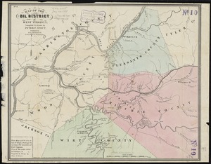
Map of the oil district of West Virginia
15.
Map of West Virginia showing coal, oil, gas and limestone areas
16.
State of West Virginia and part of Maryland : coal fields and producing districts
17.
State of West Virginia, stations and transmission lines used in public service in 1921
18.
Bacon's Map of the seat of war in Virginia : showing minutely the interesting localities in the vicinity of Richmond
19.
Coast of North Carolina & Virginia
20.
Eastern Virginia from Fredericksburg to Richmond
‹ Prev
Next ›
1
2
3
4
5
…
408
409