Toggle navigation
LMEC Home
Exhibitions
Georeferencing
Tools for Teachers
Collections
My Favorites
Sign Up / Log In
Search
Search the map portal
Map Collection
Map Collection
Map Sets
Search
Search
Search for
Search In
All Fields
Creator
Title
Subject
Place
Search All Digital Collections
Advanced Search
8162 Results
My Search
Start Over
More Like
commonwealth:3f463034k
Remove constraint More Like: commonwealth:3f463034k
Filter your Search
Place
North and Central America
4,912
United States
3,602
Suffolk (county)
1,026
Boston
999
Europe
962
Canada
427
France
269
Massachusetts
249
more
Place
»
Topic
Boston (Mass.)--Maps
574
United States--Maps
270
Real property--Massachusetts--Boston--Maps
174
Massachusetts--Maps
160
Landowners--Massachusetts--Boston--Maps
132
North America--Maps--Early works to 1800
103
New England--Maps
99
Europe--Maps
78
more
Topic
»
Date
Date range begin
–
Date range end
Current results range from
1482
to
2023
View distribution
Creator
United States. Hydrographic Office
357
O.H. Bailey & Co
148
Des Barres, Joseph F. W. (Joseph Frederick Wallet), 1722-1824
123
United States. Post Office Dept
120
Ptolemy, 2nd cent
100
Walling, Henry Francis, 1825-1888
94
Jefferys, Thomas, -1771
84
Geological Survey (U.S.)
82
more
Creator
»
Format
Maps/Atlases
8,103
Manuscripts
215
Prints
51
Books
36
Objects/Artifacts
10
Drawings/Illustrations
8
Posters
4
Georeferenced
Yes
869
No
7,293
Collection
Norman B. Leventhal Map Center Collection
8,162
Boston and New England Maps
2,184
Urban Maps
1,925
Maritime Charts and Atlases
750
American Revolutionary War-Era Maps
616
Boston Redevelopment Authority Collection
86
Available to use
No known restrictions
8,021
Creative Commons license
46
Search Constraints
Sort by relevance
relevance
title
date (asc)
date (desc)
Number of results to display per page
20 per page
10
per page
20
per page
50
per page
100
per page
View results as:
grid view
map view
Search Results
1.
Algemeene kaart van het Koningrijk der Nederlanden, in 1816 zamengesteld
2.
The Austrian French and Dutch Netherlands, from the best authorities
3.
Carte physique et routière du royaume des Pays-Bas : indiquant les canaux de différentes classes, les relais de poste et...
4.
Holland and Belgium
5.
A map of the seat of war in France, with the country divided into its several departments
6.
The Netherlands and Belgium
7.
Choro-topographische kaart der Noordelijke provincien van het Koningrijk der Nederlanden
8.
[Het ko]ningrijk [d]er Nederlanden
9.
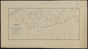
Carte des chemins de fer Belges
10.
Comparative map of distances between Paris & Cologne, and likewise between Dover and Cologne
11.
Comparative map of distances between Paris & Cologne, and likewise between Dover and Cologne
12.
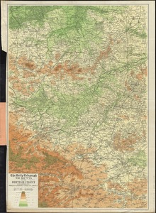
The Daily Telegraph war map no. 11
13.
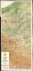
The Daily Telegraph war map no. 13 of the British front
14.
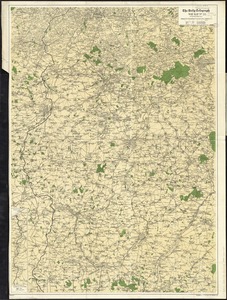
The Daily Telegraph war map no. 14 : of the western front, Arras to Nancy
15.
The Daily Telegraph war map no. 16
16.
The Daily Telegraph war map no. 21 : of the Belgian and British fronts
17.
The Daily telegraph war map no. 22
18.
The Daily Telegraph war map no. 24 : of the British front
19.
Ground plan of where the greatest decision in history is being made secure
20.
Western theatre-European war
‹ Prev
Next ›
1
2
3
4
5
…
408
409


![[Het ko]ningrijk [d]er Nederlanden](https://bpldcassets.blob.core.windows.net/derivatives/images/commonwealth:0z709589n/image_thumbnail_300.jpg)