Search Constraints
Search Results

1. Canso Harbor


![[Lennox Passage region]](https://bpldcassets.blob.core.windows.net/derivatives/images/commonwealth:ws859h17t/image_thumbnail_300.jpg)

13. Liverpool Bay
![[North east coast of Nova Scotia and Northumberland Strait]](https://bpldcassets.blob.core.windows.net/derivatives/images/commonwealth:ws859h21d/image_thumbnail_300.jpg)
![[North east coast of Nova Scotia and Northumberland Strait]](https://bpldcassets.blob.core.windows.net/derivatives/images/commonwealth:ws859h23z/image_thumbnail_300.jpg)


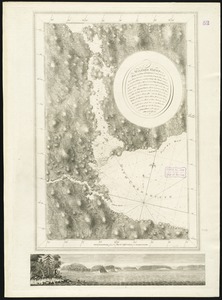
![[Torbay]](https://bpldcassets.blob.core.windows.net/derivatives/images/commonwealth:ws859h01x/image_thumbnail_300.jpg)
22. [Torbay]

23. White Haven


27. 1630 shoreline


33. 227 Harzgerode

34. 305 Glatz


36. 4 Kinten

![[A chart of Boston Bay and vicinity]](https://bpldcassets.blob.core.windows.net/derivatives/images/commonwealth:cj82m2976/image_thumbnail_300.jpg)


78. Adriatic


80. Aegyptus Antiqua


91. Africa


93. Africa

94. Africa

95. Africa

96. Africa

97. Africa


