Toggle navigation
LMEC Home
Exhibitions
Georeferencing
Tools for Teachers
Collections
My Favorites
Sign Up / Log In
Search
Search the map portal
Map Collection
Map Collection
Map Sets
Search
Search
Search for
Search In
All Fields
Creator
Title
Subject
Place
Search All Digital Collections
Advanced Search
8703 Results
My Search
Start Over
More Like
commonwealth:3f462v029
Remove constraint More Like: commonwealth:3f462v029
Filter your Search
Place
North and Central America
5,929
United States
4,845
Massachusetts
2,079
Europe
1,396
Suffolk (county)
1,046
Boston
1,019
Canada
449
Asia
438
more
Place
»
Topic
Boston (Mass.)--Maps
586
United States--Maps
282
Real property--Massachusetts--Boston--Maps
175
Massachusetts--Maps
162
Landowners--Massachusetts--Boston--Maps
133
North America--Maps--Early works to 1800
103
New England--Maps
102
Europe--Maps
79
more
Topic
»
Date
Date range begin
–
Date range end
Current results range from
1482
to
2023
View distribution
Creator
United States. Hydrographic Office
595
O.H. Bailey & Co
148
Des Barres, Joseph F. W. (Joseph Frederick Wallet), 1722-1824
123
United States. Post Office Dept
120
Ptolemy, 2nd cent
100
Walling, Henry Francis, 1825-1888
94
Jefferys, Thomas, -1771
88
Geological Survey (U.S.)
86
more
Creator
»
Format
Maps/Atlases
8,643
Manuscripts
217
Prints
56
Books
36
Objects/Artifacts
10
Drawings/Illustrations
8
Posters
5
Georeferenced
Yes
870
No
7,833
Collection
Norman B. Leventhal Map & Education Center Collection
8,694
Boston and New England Maps
2,233
Urban Maps
2,023
Maritime Charts and Atlases
1,083
American Revolutionary War-Era Maps
624
Boston Redevelopment Authority Collection
87
Richard H. Brown Revolutionary War Map Collection at Mount Vernon
7
Newberry Library Collection
2
Available to use
No known restrictions
8,552
Creative Commons license
54
Search Constraints
Sort by relevance
relevance
title
date (asc)
date (desc)
Number of results to display per page
20 per page
10
per page
20
per page
50
per page
100
per page
View results as:
grid view
map view
Search Results
3261.
Magnae Britanniae et Hiberniae Tabula
3262.
Magnetic variation chart for the year 1882
3263.
Magni Mogolis Imperium
3264.
Magnifica illa civitas Verona ; Colonia augusta Verona nova gallieniana
3265.
Magnolia, Gloucester, Mass
3266.
Magnus' panoramic view map of India
3267.
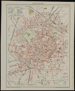
Mailand
3268.
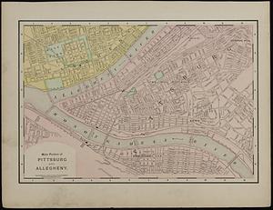
Main portion of Pittsburg and Allegheny ; township map, vicinity of Pittsburgh
3269.
Maine
3270.
Maine
3271.
Maine
3272.
Maine Central Railroad : through the White Mountains
3273.
Major thoroughfare system : city of Boston, May 1987
3274.
Major thoroughfare system, city of Boston, July 1979
3275.
Major thoroughfare system, city of Boston, July, 1994
3276.
Makatea or Aurora Island, Paumotu Group ; Taweree or St. Simeon or Resolution Island, Paumotu Group ; Takurea or Wolconsky...
3277.
Makers of the U.S.A. : a friendship map
3278.
The Manchester Docks
3279.
Manchester, N.H
3280.
Manchester, N.H : 1876
‹ Prev
Next ›
1
2
…
160
161
162
163
164
165
166
167
168
…
435
436