Toggle navigation
LMEC Home
Collections
My Favorites
Exhibitions
Georeferencing
Tools for Teachers
Sign Up / Log In
Search
Search the map portal
Search
Search
Search for
Search in
All Fields
Title
Subject
Place
Creator
Search All Digital Collections
Advanced Search
242 Results
Search Constraints
My Search
Start Over
More like
commonwealth:3f462s719
Remove constraint More like: commonwealth:3f462s719
Filter your Search
Show filters
Hide filters
Place
North and Central America
219
United States
209
Massachusetts
107
New England
107
Boston
54
Suffolk (county)
53
Boston Harbor
35
Middle Atlantic
24
more
Place
»
Topic
New England--Maps--Early works to 1800
97
Massachusetts--Maps--Early works to 1800
31
Boston (Mass.)--Maps
21
Middle Atlantic States--Maps--Early works to 1800
21
Boston Harbor (Mass.)--Maps--Early works to 1800
20
World maps--Early works to 1800
19
Boston (Mass.)--History--Revolution, 1775-1783--Maps--Early works to 1800
18
Boston (Mass.)--Maps--Early works to 1800
15
more
Topic
»
Creator
Des Barres, Joseph F. W. (Joseph Frederick Wallet), 1722-1824
9
Bellin, Jacques Nicolas, 1703-1772
8
Jefferys, Thomas, d. 1771
8
Page, Thomas Hyde, Sir, 1746-1821
7
Southack, Cyprian, 1662-1745
6
United States Coast Survey
6
Bowles, Carington, 1724-1793
5
Jefferys, Thomas, -1771
5
more
Creator
»
Format
Maps/Atlases
241
Manuscripts
2
Prints
1
Georeferenced
Yes
43
No
199
Collection
Norman B. Leventhal Map & Education Center Collection
195
Mapping Boston Collection
142
Boston and New England Maps
110
American Revolutionary War-Era Maps
107
Maritime Charts and Atlases
39
Urban Maps
25
Sidney R. Knafel Map Collection at Phillips Academy
19
Richard H. Brown Revolutionary War Map Collection at Mount Vernon
8
more
Collection
»
Available to use
Creative Commons license
152
No known restrictions
62
Sort
by date (desc)
relevance
title
date (asc)
date (desc)
recently added
Number of results to display per page
20
per page
per page
10
per page
20
per page
50
per page
100
per page
Search Results
1.
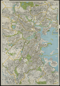
Boston and surroundings
2.
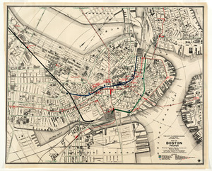
Map of Boston proper, showing proposed railroad tunnels and business streets
3.
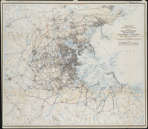
Map of the existing and proposed circumferential thoroughfares of the district
4.
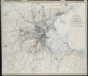
Map of the existing and proposed radial thoroughfares of the district and their connections
5.
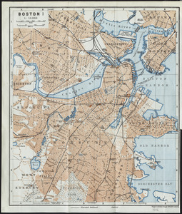
Boston I
6.
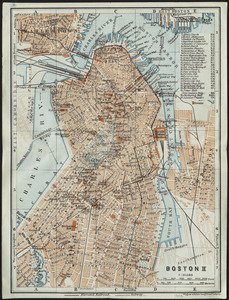
Boston II
7.
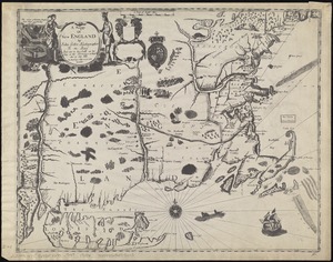
A mapp of New England
8.
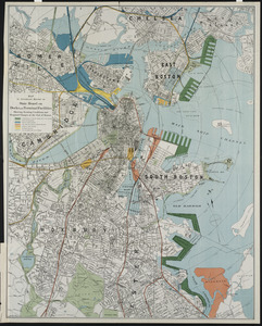
Map to accompany report of State Board on Docks and Terminal Facilities : showing existing conditions and proposed changes at...
9.
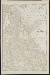
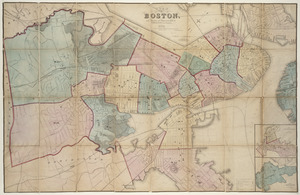
Map of Boston
10.
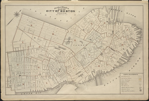
Outline and index map of city of Boston proper
11.
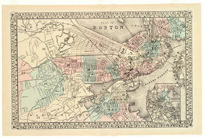
Plan of Boston
12.
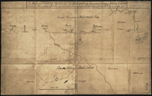
A map of the country adjacent to the north boundary line of the colony of Rhode Island as the same was run by commissioners...
13.
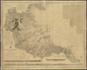
Boston Harbor, Massachusetts
14.
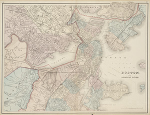
Boston and adjacent cities
15.
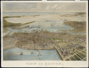
View of Boston, July 4th 1870
16.
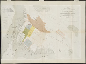
Plan for the occupation of flats owned by the Commonwealth in Boston Harbor
17.
Plan of Boston
18.
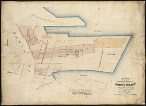
Plan of the property known as Rowe's Wharf : enlarged from a plan made by Alex. Wadsworth in April, 1867
19.
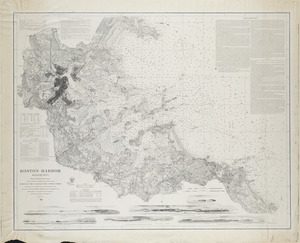
Boston Harbor, Massachusetts
20.
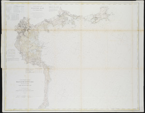
Boston Bay and approaches
« Previous
Next »
1
2
3
4
5
…
12
13