Toggle navigation
LMEC Home
Collections
My Favorites
Exhibitions
Georeferencing
Tools for Teachers
Sign Up / Log In
Search
Search the map portal
Search
Search
Search for
Search in
All Fields
Title
Subject
Place
Creator
Search All Digital Collections
Advanced Search
191 Results
Search Constraints
My Search
Start Over
More like
commonwealth:2b88t248d
Remove constraint More like: commonwealth:2b88t248d
Filter your Search
Show filters
Hide filters
Place
Massachusetts
191
North and Central America
191
United States
191
Middlesex (county)
72
Cambridge
50
Suffolk (county)
50
Boston
48
Essex (county)
28
more
Place
»
Topic
Cambridge (Mass.)--Maps
53
Real property--Massachusetts--Boston--Maps
37
Landowners--Massachusetts--Boston--Maps
35
Buildings--Massachusetts--Boston--Maps
34
Boston (Mass.)--Maps
21
Real property--Massachusetts--Cambridge--Maps
20
Landowners--Massachusetts--Cambridge--Maps
12
Roxbury (Boston, Mass.)--Maps
9
more
Topic
»
Creator
G.W. Bromley & Co.
39
Bromley, George Washington
38
Bromley, Walter Scott
38
Geo. H. Walker & Co.
23
Hopkins, Griffith Morgan, Jr.
21
L.J. Richards & Co.
15
Richards Map Company
7
Walker Lith. & Pub. Co.
7
more
Creator
»
Format
Maps/Atlases
191
Manuscripts
1
Georeferenced
Yes
62
No
129
Collection
Massachusetts Real Estate Atlases
143
Norman B. Leventhal Map & Education Center Collection
48
Boston and New England Maps
42
Urban Maps
40
Applied Geographics, Inc. Records
2
Available to use
No known restrictions
47
Creative Commons license
1
Sort
by relevance
relevance
title
date (asc)
date (desc)
recently added
Number of results to display per page
20
per page
per page
10
per page
20
per page
50
per page
100
per page
Search Results
41.
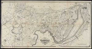
Map of the city of Cambridge
42.
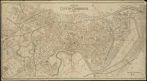
Map of the city of Cambridge
43.
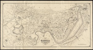
Map of the city of Cambridge
44.
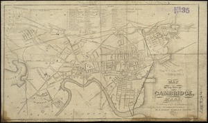
Map of the city of Cambridge, Mass : reduced from J. Hayward's 1838 : with additions and corrections
45.
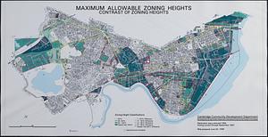
Maximum allowable zoning heights : contrast of zoning heights
46.
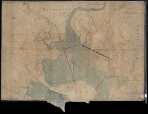
[Mill dam survey : Boston, Roxbury, Brookline &c.]
47.
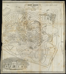
Mount Auburn, avenues and paths
48.
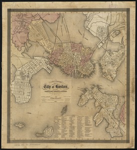
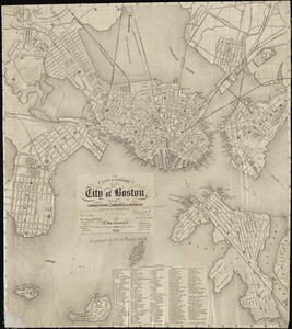
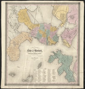
A new & complete map of the city of Boston, with part of Charlestown, Cambridge & Roxbury
49.
A new & complete map of the city of Boston, with part of Charlestown, Cambridge & Roxbury
50.
A new & complete map of the city of Boston, with part of Charlestown, Cambridge & Roxbury
51.
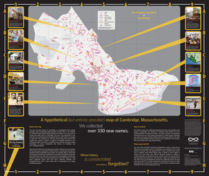
The people's republic of Cambridge
52.
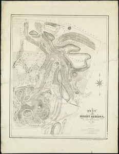
Plan of Mount Auburn
53.
Plan of the aqueduct from Jamaica Pond to Williams' store ; Leechmere Point & Cambridge Port & road to colleges
54.
Plan of the cemetery of Mount Auburn
55.
Proposed Charles River Park
56.
Proposed Charles River Park
57.
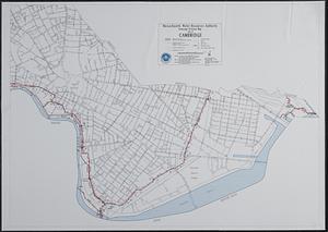
Sewerage division map city of Cambridge
58.
Atlas, city of Everett, Middlesex County, Massachusetts
59.
Atlas of Attleboro town, Massachusetts
60.
Atlas of Barnstable County, Massachusetts : towns of Bourne, Mashpee, Falmouth, Sandwich, Barnstable, Yarmouth, Dennis,...
« Previous
Next »
1
2
3
4
5
6
7
…
9
10