Toggle navigation
LMEC Home
Collections
My Favorites
Exhibitions
Georeferencing
Tools for Teachers
Sign Up / Log In
Search
Search the map portal
Search
Search
Search for
Search in
All Fields
Title
Subject
Place
Creator
Search All Digital Collections
Advanced Search
9183 Results
Search Constraints
My Search
Start Over
More like
commonwealth:1v53ng791
Remove constraint More like: commonwealth:1v53ng791
Filter your Search
Show filters
Hide filters
Place
North and Central America
6,362
United States
5,265
Massachusetts
2,373
Europe
1,419
Suffolk (county)
1,269
Boston
1,238
Canada
463
Asia
446
more
Place
»
Topic
Boston (Mass.)--Maps
768
United States--Maps
301
Real property--Massachusetts--Boston--Maps
201
City planning--Massachusetts--Boston--Maps
177
Massachusetts--Maps
176
Landowners--Massachusetts--Boston--Maps
148
New England--Maps
111
North America--Maps--Early works to 1800
103
more
Topic
»
Creator
United States. Hydrographic Office
597
Boston Redevelopment Authority
178
O.H. Bailey & Co
148
Des Barres, Joseph F. W. (Joseph Frederick Wallet), 1722-1824
123
United States. Post Office Dept
120
Geological Survey (U.S.)
101
Ptolemy, 2nd cent
100
Walling, Henry Francis, 1825-1888
94
more
Creator
»
Format
Maps/Atlases
9,118
Manuscripts
215
Prints
56
Books
39
Objects/Artifacts
13
Drawings/Illustrations
8
Posters
5
Documents
4
more
Format
»
Georeferenced
Yes
1,005
No
8,178
Collection
Norman B. Leventhal Map & Education Center Collection
9,021
Boston and New England Maps
2,504
Urban Maps
2,213
Maritime Charts and Atlases
1,083
American Revolutionary War-Era Maps
647
Boston Redevelopment Authority Collection
210
Mapping Boston Collection
20
Massachusetts Real Estate Atlases
12
more
Collection
»
Available to use
No known restrictions
8,968
Creative Commons license
85
Sort
by relevance
relevance
title
date (asc)
date (desc)
recently added
Number of results to display per page
20
per page
per page
10
per page
20
per page
50
per page
100
per page
Search Results
1.
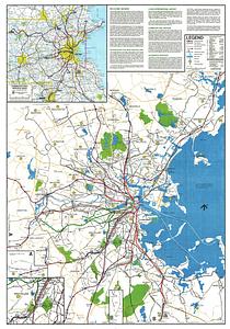
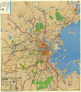
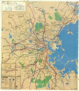
Massachusetts Bay Transportation Authority system map
2.
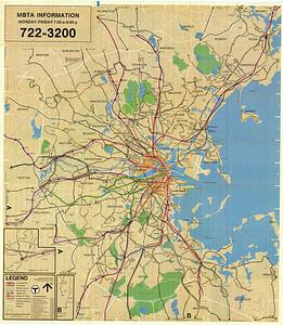
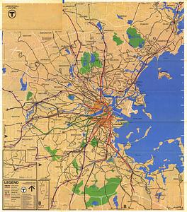
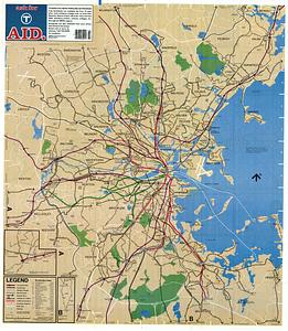
MBTA map : 1977-1978
3.
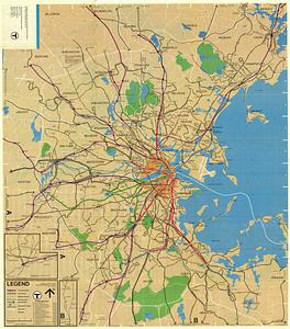
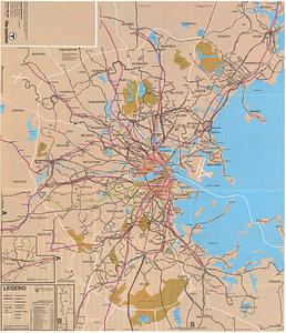
Metropolitan Boston transportation map : subway, bus, rail
4.
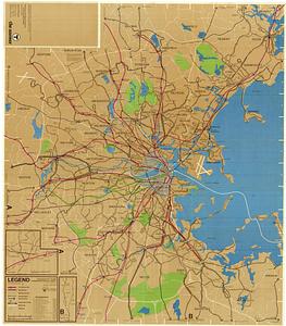
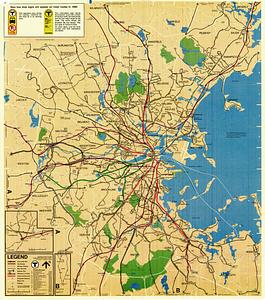
Metropolitan Boston transportation map : subway, bus, rail
5.
Metropolitan Boston transportation map : subway, bus, rail
6.
Metropolitan Boston transportation map : subway, bus, rail
7.
Metropolitan Boston transportation map : subway, bus, rail
8.
T 1980 system map
9.
T system map : 1978-1979
10.
T system map
11.
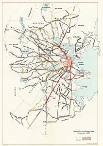
Boston Elevated Railway lines operated 1925
12.
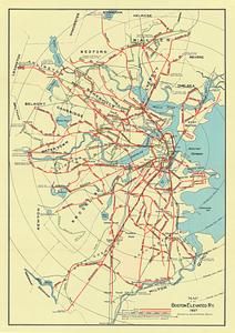
Map of the Boston Elevated Ry. 1927
13.
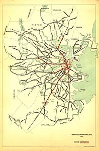
Boston Elevated Railway lines 1921
14.
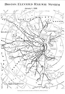
Boston Elevated Railway system
15.
Boston Elevated Railway track lengths of surface lines and subway
16.
Boston Elevated Railway track lengths of surface lines and subway
17.
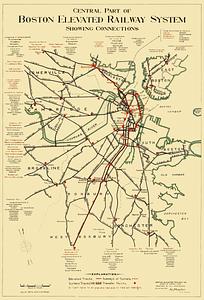
Central part of Boston Elevated Railway system showing connections
18.
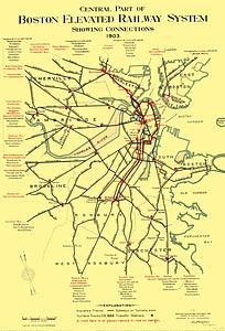
Central part of Boston Elevated Railway system showing connections 1903
19.
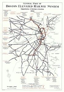
Central part of Boston Elevated Railway system showing connections 1904
20.
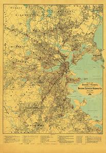
Map of Boston and vicinity, showing tracks operated by the Boston Elevated Railway Co. January, 1910
« Previous
Next »
1
2
3
4
5
…
459
460